Jasper in Hamilton County, Florida — The American South (South Atlantic)
Florida Branch Railroad
Photographed by Tim Fillmon, July 19, 2016
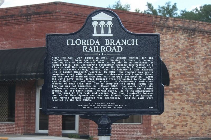
1. Florida Branch Railroad Marker
Inscription.
After the Civil War began in 1861, it became critical for the Confederacy to have north and south running railroads to connect existing Florida and Georgia lines to bypass Union blockades at Florida ports. The Confederate government ordered construction of a 49-mile rail line between Live Oak on the Pensacola & Georgia rail line in Suwannee County, Florida, and the Atlantic & Gulf Railroad line in Lawton (Dupont), Georgia. By 1862, the roadbed was mostly complete, along with bridges across the Suwannee and Alapaha Rivers, but the lack of available iron for rails stopped construction. After the David Levy Yulee Florida Railroad from Fernandina to Cedar Key was partially destroyed during the war, the Confederacy authorized removal of rails from that line to complete the north-south line. The line was not completed until March 1865, one month before the Confederate army surrendered at Appomattox, Virginia. The Florida Branch, as the north-south line was known, led to the establishment of the towns of Live Oak and Jasper. The line eventually became part of the Plant System and then the Atlantic Coast Line Railroad. The Florida
Click or scan to see this page online
Branch Railroad was abandoned, and its rails were removed by the late 1980s.
Erected 2014 by Potash Corp-White Springs, FL and the Florida Department of State. (Marker Number F-822.)
Topics. This historical marker is listed in these topic lists: Railroads & Streetcars • War, US Civil. A significant historical year for this entry is 1861.
Location. 30° 31.098′ N, 82° 56.853′ W. Marker is in Jasper, Florida, in Hamilton County. It is at the intersection of Hatley Street (U.S. 41/129) and Central Avenue Northwest, on the left when traveling east on Hatley Street. Touch for map. Marker is in this post office area: Jasper FL 32052, United States of America. Touch for directions.
Regionally, this marker is in North Florida. It is also in the American South. Globally, it is in the North Atlantic Region, North America, a Gulf of Mexico state, the Western Hemisphere, the Western World, and the Anglosphere. Historically, it finds itself in what was once New Spain, the territory of the Mississippian Culture, one of the Confederate States of America, and the Antebellum South.
Other nearby markers. At least 8 other markers
Photographed by Tim Fillmon, July 19, 2016
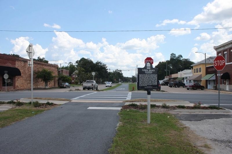
2. Florida Branch Railroad Marker along old track area looking south
Credits. This page was last revised on August 17, 2016. It was originally submitted on August 15, 2016, by Tim Fillmon of Webster, Florida. This page has been viewed 1,240 times since then and 87 times this year. Photos:1, 2. submitted on August 15, 2016, by Tim Fillmon of Webster, Florida. • Bernard Fisher was the editor who published this page.