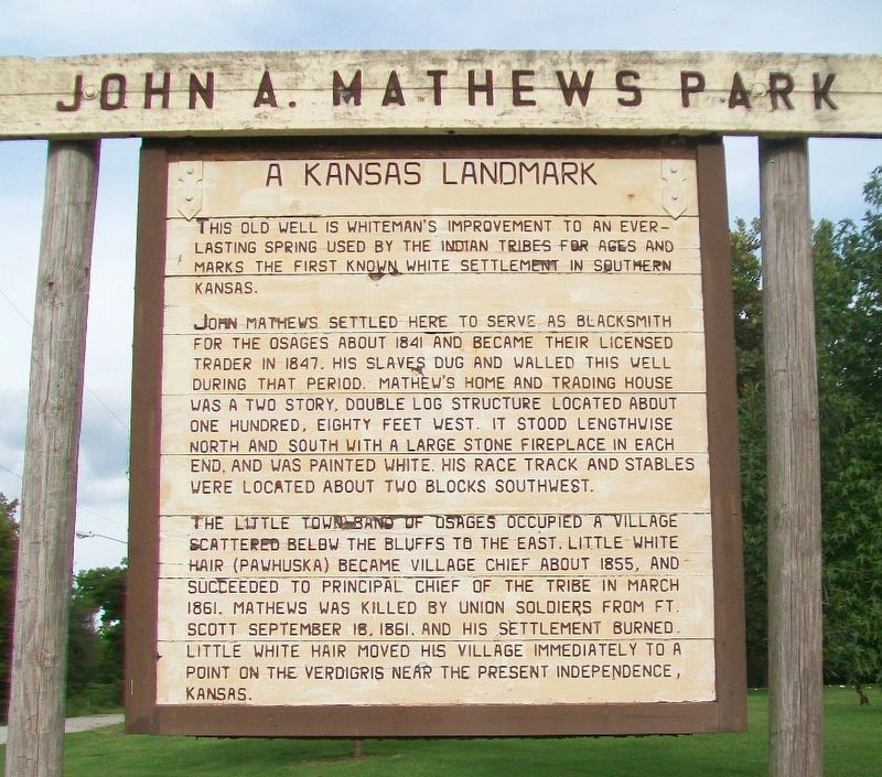
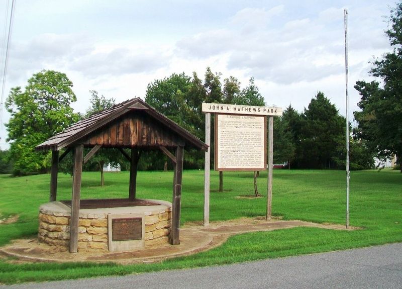
John A. Mathews Park
A Kansas Landmark
This old well is whiteman's improvement to an everlasting spring used by the Indian tribes for ages and marks the first known white settlement in southern Kansas.
John Mathews settled here to serve as blacksmith for the Osages about 1841 and became their licensed trader in 1847. His slaves dug and walled this well during that period. Mathew's home and trading house was a two story, double log structure located about one hundred, eighty feet west. It stood lengthwise north and south with a large stone fireplace in each end, and was painted white. His race track and stables were located about two blocks southwest.
The Little Town Band of Osages occupied a village scattered below the bluffs to the east. Little White Hair (Pawhuska) became village chief about 1855, and succeeded to principal chief of the tribe in March 1861. Mathews was killed by Union Soldiers from Ft. Scott September 18, 1861, and his settlement burned. Little White Hair moved his village immediately to a point on the Verdigris near the present Independence, Kansas.
Topics. This historical marker is listed in these topic lists: African Americans • Industry & Commerce • Native Americans • Settlements & Settlers. A significant historical month for this entry is March 1861.
Location. 37° 10.019′ N, 95° 6.033′
Other nearby markers. At least 8 other markers are within 9 miles of this marker, measured as the crow flies. The Little Town Well (here, next to this marker); Sulky Plow (approx. 0.4 miles away); Osage Indian Village (approx. 0.4 miles away); KATY Caboose Number 109 (approx. half a mile away); Riverside Park (approx. 0.6 miles away); Historic Riverside Park (approx. 0.6 miles away); Veterans Memorial Auditorium — Gymnasium (approx. 8.9 miles away); Parish of Sacred Heart - Chetopa (approx. 9 miles away). Touch for a list and map of all markers in Oswego.
Also see . . .
1. John Allen Mathews at Kansas Memory. (Submitted on August 17, 2016, by William Fischer, Jr. of Scranton, Pennsylvania.)
2. Osage History in Kansapedia. (Submitted on August 17, 2016, by William Fischer, Jr. of Scranton, Pennsylvania.)
Credits. This page was last revised on August 17, 2016. It was originally submitted on August 17, 2016, by William Fischer, Jr. of Scranton, Pennsylvania. This page has been viewed 373 times since then and 21 times this year. Photos: 1, 2. submitted on August 17, 2016, by William Fischer, Jr. of Scranton, Pennsylvania.

