Center in Metcalfe County, Kentucky — The American South (East South Central)
Ed Porter Thompson
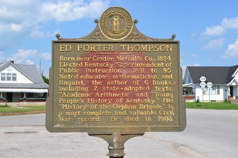
Photographed by Duane Hall, July 31, 2016
1. Ed Porter Thompson Marker
Erected 1968 by Kentucky Historical Society, Kentucky Department of Highways. (Marker Number 1200.)
Topics and series. This historical marker is listed in these topic lists: Arts, Letters, Music • Education • War, US Civil. In addition, it is included in the Kentucky Historical Society series list. A significant historical year for this entry is 1834.
Location. 37° 8.534′ N, 85° 41.598′ W. Marker is in Center, Kentucky, in Metcalfe County. It is at the intersection of State Highway 314 and State Highway 1048, on the left when traveling north on State Highway 314. Touch for map. Marker is in this post office area: Center KY 42214, United States of America. Touch for directions.

Regionally, this marker is
this page online
Other nearby markers. At least 8 other markers are within 11 miles of this marker, measured as the crow flies: Savoyard (approx. 3.4 miles away); Discovery of Sulphur Well / Beula Villa Hotel (approx. 4.3 miles away); Partisan Protected (approx. 4.6 miles away); Last Recorded Indian Raid (approx. 4.9 miles away); Lt. Gov. James G. Hardy (approx. 9 miles away); Dripping Springs (approx. 9.8 miles away); Robert Stockton (approx. 10.6 miles away); Rev. Robert Stockton (approx. 10.8 miles away).
Other markers no longer nearby. Joseph A. Altsheler (was approx. 3.4 miles away but has been confirmed missing); Bear Wallow (was approx. 9.3 miles away but has been confirmed missing).
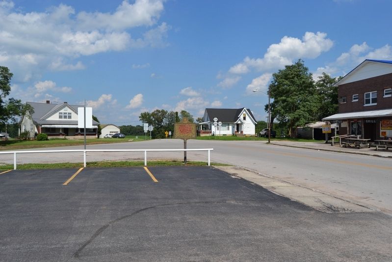
Photographed by Duane Hall, July 31, 2016
2. Ed Porter Thompson Marker
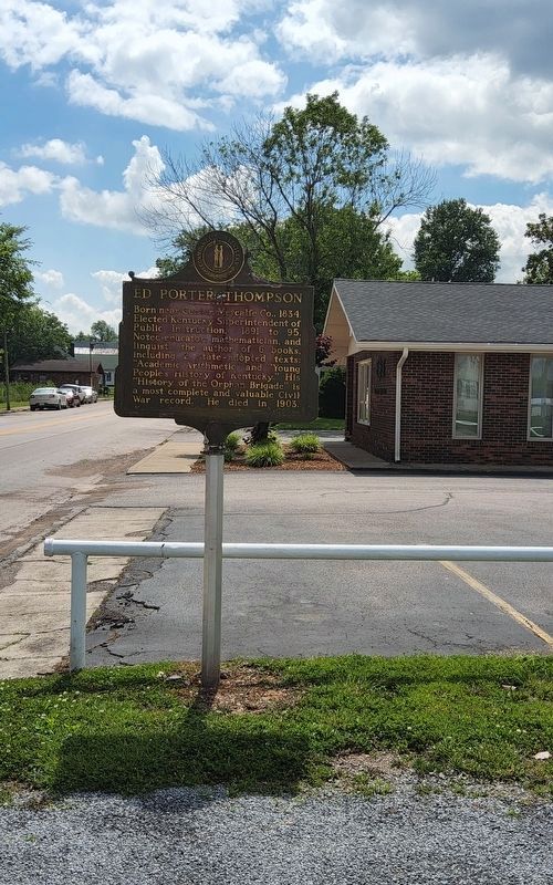
Photographed by Richard Hawkins, June 8, 2025
3. Ed Porter Thompson Marker
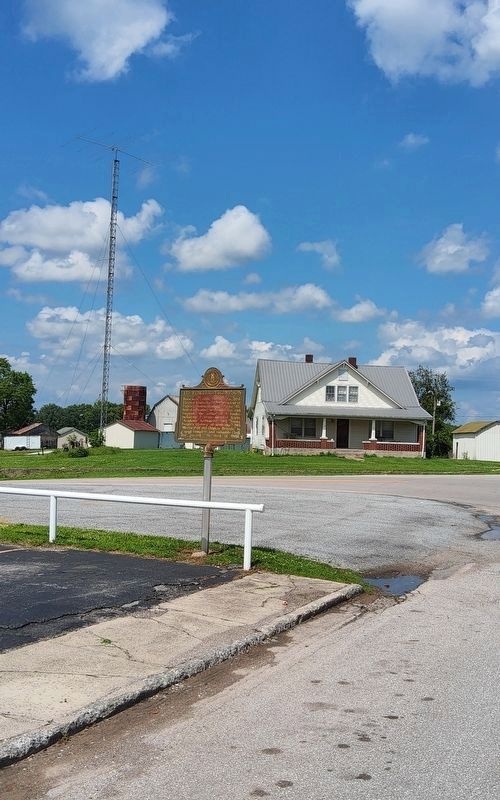
Photographed by Richard Hawkins, June 8, 2025
4. Ed Porter Thompson Marker
Credits. This page was last revised on June 10, 2025. It was originally submitted on August 19, 2016, by Duane Hall of Abilene, Texas. This page has been viewed 813 times since then and 55 times this year. Photos: 1, 2. submitted on August 19, 2016, by Duane Hall of Abilene, Texas. 3, 4. submitted on June 8, 2025, by Richard Hawkins of Phelan, California.
