Near Caledonia in Marion County, Ohio — The American Midwest (Great Lakes)
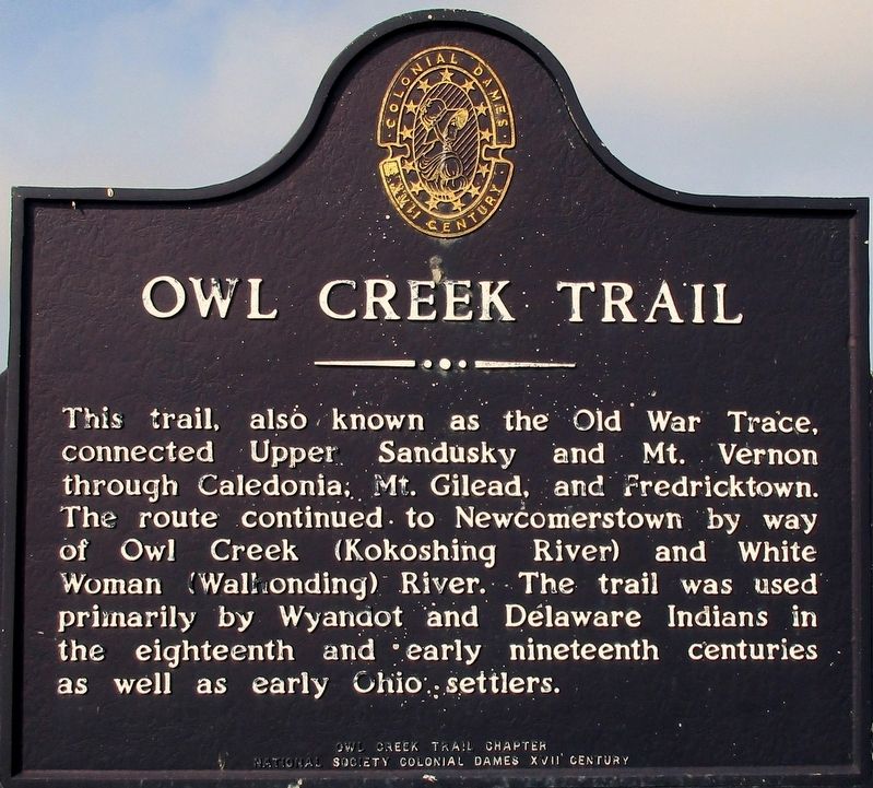
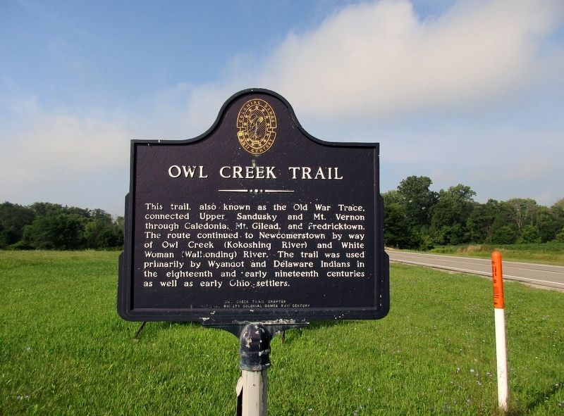
Owl Creek Trail
Erected by Owl Creek Trail Chapter National Society Colonial Dames XVII Century.
Topics and series. This historical marker is listed in these topic lists: Native Americans • Roads & Vehicles • Settlements & Settlers. In addition, it is included in the The Colonial Dames XVII Century, National Society series list.
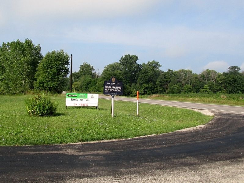
Location. 40° 38.07′ N, 82° 57.593′ W. Marker is near Caledonia, Ohio, in Marion County. Marker is at the intersection of Harding Highway (Ohio Route 309) and Caledonia-Climax Road (County Route 159), on the right when traveling east on Harding Highway. Marker is opposite Caledonia Cemetery. Touch for map. Marker is at or near this postal address: 2313 Caledonia-Climax Road, Caledonia OH 43314, United States of America. Touch for directions.
Other nearby markers. At least 8 other markers are within 4 miles of this marker, measured as the crow flies. Boyhood Home of Warren G. Harding (approx. half a mile away); Methodist Episcopal Church Bell (approx. half a mile away); Caledonia Veterans Memorial (approx. half a mile away); Caledonia Memorial United Methodist Church (approx. half a mile away); Caledonia (approx. half a mile away); a different marker also named Caledonia Veterans Memorial (approx. half a mile away); a different marker also named Caledonia (approx. 0.7 miles away); Claridon Prairie (approx. 3.8 miles away). Touch for a list and map of all markers in Caledonia.
Additional keywords. National Society Colonial Dames XVII Century
Credits. This page was last revised on August 24, 2016. It was originally submitted on August 21, 2016, by Rev. Ronald Irick of West Liberty, Ohio. This page has been viewed 1,262 times since then and 125 times this year. Photos: 1, 2, 3, 4. submitted on August 21, 2016, by Rev. Ronald Irick of West Liberty, Ohio. • Bill Pfingsten was the editor who published this page.


