Deltaville in Middlesex County, Virginia — The American South (Mid-Atlantic)
Fish Story
Captain John Smith Chesapeake National Historic Trail
— National Park Service, U.S. Department of the Interior —
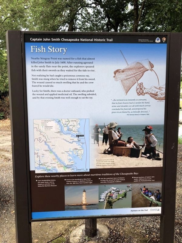
Nearby Stingray Point was named for a fish that almost killed John Smith in July 1608. After running aground in the sandy flats near the point, the explorers speared fish with their swords as they waited for the tide to rise.
Not realizing he had caught a poisonous cownose ray, Smith was stung when he tried to remove it from his sword. The wound caused so much swelling that he and the crew feared he would die.
Lucky for Smith, there was a doctor onboard, who probed the wound and applied medicinal oil. The swelling subsided, and by that evening Smith was well enough to eat the ray.
“…the torment was instantly so extreme, that in foure houres had so swollen his hand, arme and shoulder, we all with much sorrow concluded his funeral, and prepared his grave in an Island by, as himselfe directed…”
-The General History of Virginia, 1624
Erected 2014 by National Park Service, U.S. Department of the Interior.
Topics and series. This historical marker is listed in these topic lists: Animals • Colonial Era • Exploration • Waterways & Vessels. In addition, it is included in the Captain John Smith Chesapeake National Historic Trail series list. A significant historical month for this entry is July 1608.
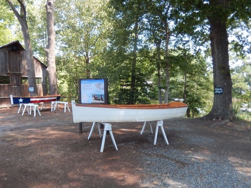
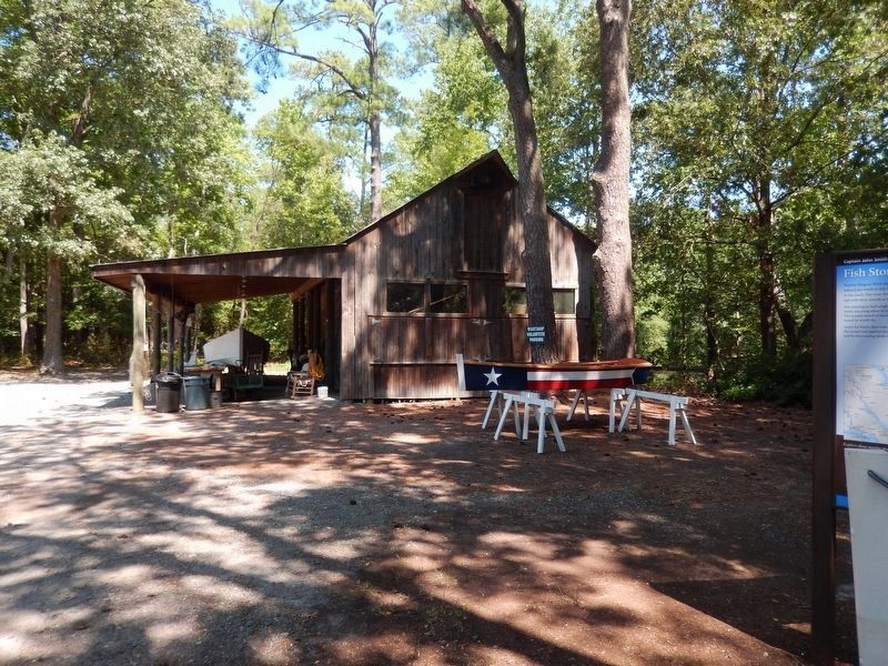
Location. 37° 33.137′ N, 76° 19.403′ W. Marker is in Deltaville, Virginia, in Middlesex County. Marker can be reached from Jackson Creek Road (Virginia Route 660) 0.1 miles south of Bucks View Lane (Virginia Route 683), on the left when traveling south. The marker stands on the grounds of the Deltaville Maritime Museum near the large boat shed. Touch for map. Marker is at or near this postal address: 287 Jackson Creek Road, Deltaville VA 23043, United States of America. Touch for directions.
Other nearby markers. At least 8 other markers are within walking distance of this marker. Ruark Sculpture Garden (within shouting distance of this marker); The F.D. Crockett (within shouting distance of this marker); Compass Rose (within shouting distance of this marker); Flagpole and Flag Etiquette (within shouting distance of this marker); Oyster Tonging (about 300 feet away, measured in a direct line); Confederate Boarding Cutter (about 400 feet away); Oyster Tongs (about 400 feet away); Boarding Cutter (about 500 feet away). Touch for a list and map of all markers in Deltaville.
Also see . . .
1. Captain John Smith Chesapeake National Historic Trail. National Park Service (Submitted on August 29, 2016.)
2. Deltaville Maritime Museum & Holly Point Nature Park. (Submitted on August 29, 2016.)
Photographed By Devry Becker Jones (CC0), June 26, 2021
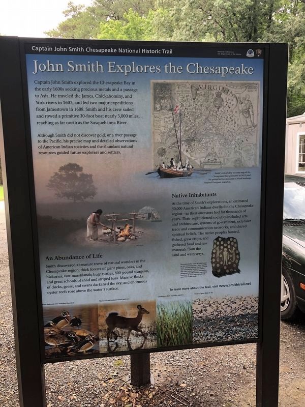
2. John Smith Explores the Chesapeake
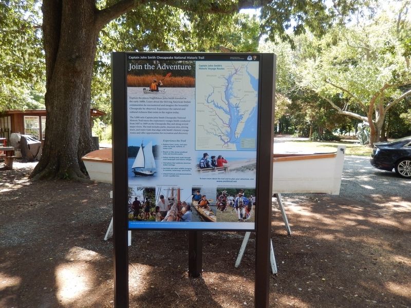
Identical signage is visible throughout sites on the trail.
Credits. This page was last revised on June 27, 2021. It was originally submitted on August 26, 2016, by Don Morfe of Baltimore, Maryland. This page has been viewed 344 times since then and 29 times this year. Photos: 1, 2. submitted on June 27, 2021, by Devry Becker Jones of Washington, District of Columbia. 3, 4, 5. submitted on August 26, 2016, by Don Morfe of Baltimore, Maryland. • Bernard Fisher was the editor who published this page.
