Near Terrell in Kaufman County, Texas — The American South (West South Central)
Rose Hill Cemetery
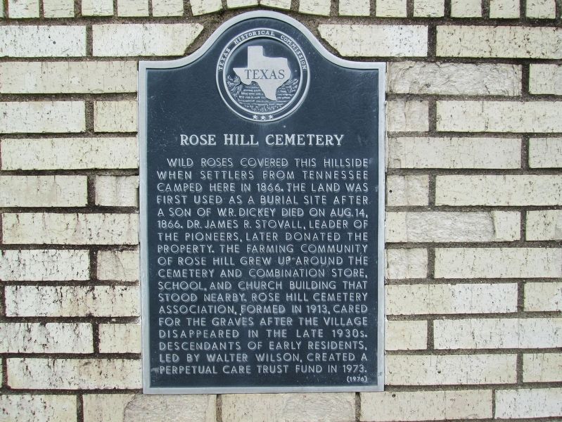
Photographed by Rheba Bybee, August 20, 2016
1. Rose Hill Cemetery Marker
Erected 1976 by Texas Historical Commission. (Marker Number 8549.)
Topics. This historical marker is listed in this topic list: Cemeteries & Burial Sites. A significant historical year for this entry is 1866.
Location. 32° 40.444′ N, 96° 20.157′ W. Marker is near Terrell, Texas, in Kaufman County. It is on Farm to Market Road 273 0.3 miles north of Farm to Market Road 2578, on the left when traveling north. Touch for map. Marker is in this post office area: Terrell TX 75160, United States of America. Touch for directions.

Regionally,
this page online
Other nearby markers. At least 8 other markers are within 5 miles of this marker, measured as the crow flies: Major W.F. Long (approx. 4.6 miles away); The Old Graveyard (approx. 4.7 miles away); Lawrence Cemetery (approx. 4.8 miles away); William Henry Burnett (approx. 4.8 miles away); No. 1 British Flying Training School (approx. 4.9 miles away); a different marker also named No. 1 British Flying Training School (approx. 5 miles away); Women Who Have Served and Sacrificed (approx. 5 miles away); Nike Hercules Missile (approx. 5.1 miles away). Touch for a list and map of all markers in Terrell.
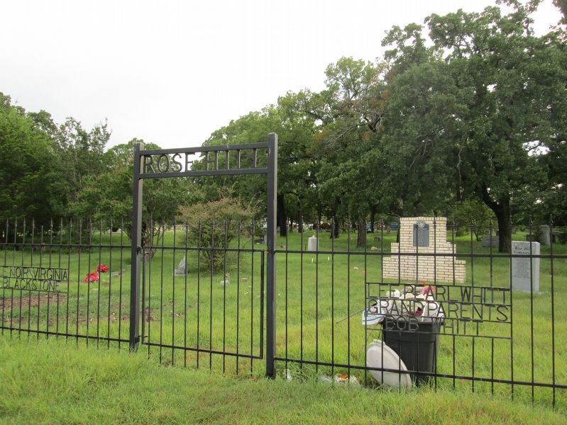
Photographed by Rheba Bybee, August 20, 2016
2. Rose Hill Cemetery
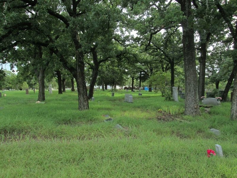
Photographed by Rheba Bybee, August 20, 2016
3. Rose Hill Cemetery
Credits. This page was last revised on August 30, 2016. It was originally submitted on August 27, 2016, by Rheba Bybee of Seagoville, Texas. This page has been viewed 939 times since then and 46 times this year. Photos: 1, 2, 3. submitted on August 27, 2016, by Rheba Bybee of Seagoville, Texas. • Bernard Fisher was the editor who published this page.
