Near Dayton in Greene County, Ohio — The American Midwest (Great Lakes)
Mormon Migration, Kirkland Camp / Facts About Kirkland Camp
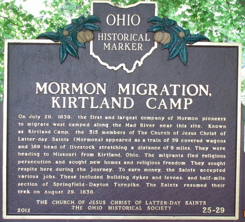
Mormon Migration, Kirkland Camp
On July 28, 1838, the first and largest company of Mormon pioneers to migrate west camped along the Mad River near this site. Known as Kirtland Camp, the 515 members of The Church of Jesus Christ of Latter-day Saints (Mormons) appeared as a train of 59 covered wagons and 189 head of livestock stretching a distance of 9 miles. They were heading to Missouri from Kirtland, Ohio. The migrants fled religious persecution and sought new homes and religious freedom. They sought respite here during the journey. To earn money, the Saints accepted various jobs. These included building dykes and levees, and half-mile section of Springfield-Dayton Turnpike. The Saints resumed their trek on August 29, 1838.
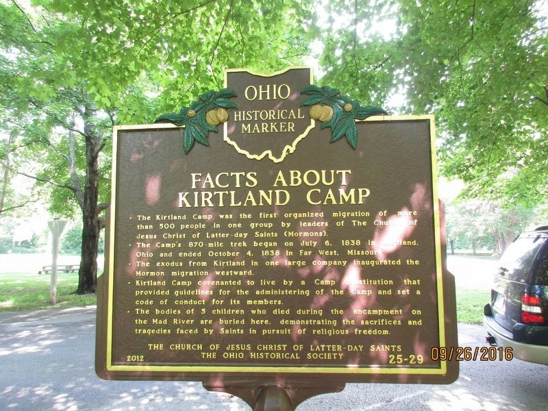
Facts About Kirkland Camp
• The Kirtland Camp was the first organized migration of more than 500 people in one group by leaders of The Church of Jesus Christ of Latter-day Saints (Mormons)
• The Camp's 870-mile trek began on July 6, 1838 in Kirtland, Ohio and ended October 4, 1838 in Far West, Missouri.
• The exodus from Kirtland in one large company inaugurated the Mormon migration westward.
• Kirtland Camp covenanted to live by a Camp constitution that provided guidelines for the administering of the Camp and set a code of conduct for its members.
• The bodies of 5 children who died during the encampment on the Mad River are buried here, demonstrating the sacrifices and tragedies faced by Saints in pursuit of religious freedom
Erected 2012 by The Church of Jesus Christ of Latter Day Saints The Ohio Historical Society. (Marker Number 25- 29.)
Topics and series. This historical marker is listed in these topic lists: Churches & Religion • Roads & Vehicles. In addition, it is included in the Mormon Pioneer Trail, and the Ohio Historical Society / The Ohio History Connection series lists.
Location. 39° 48.52′ N, 84° 5.181′ W. Marker is near Dayton, Ohio, in Greene County. Marker can be reached from Lower Valley Pike. Touch for map. Marker is at or near this postal address: 4095 Lower Valley Pike, Dayton OH 45424, United States of America. Touch for directions.
Other nearby markers. At least 8 other markers are within 2 miles of this marker, measured as the crow flies. Huffman Dam (approx. 0.9 miles away); In Case of Floods ... (approx. 0.9 miles away); Biplanes to Rocket Science (approx. 0.9 miles away); Cow Pasture to Flight School (approx. 0.9 miles away); In Commemoration of the Courage, Perseverance and Achievement of Wilbur and Orville Wright (approx. one mile away); Final Honors (approx. one mile away); Birthplace of Flight (approx. 1.2 miles away); Commuter Flyers (approx. 1.2 miles away). Touch for a list and map of all markers in Dayton.
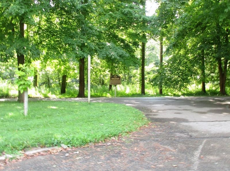
More about this marker. This marker is VERY difficult to find. It is in a picnic area of the Huffman Metro Park, off Lower Valley Pike, on the bank of Mad River. The Valley Pike route is one of the oldest roads in the State of Ohio, but it has been greatly segmented by construction and floods. The best access is St RT 4 to Huffman Dam Road, then north on Lower Valley Pike.
Additional keywords. The Church of Jesus Christ of Latter-day Saints (Mormons) Springfield-Dayton Turnpike
Photographed By Rev. Ronald Irick, August 26, 2016
5. Mormon Migration, Kirkland Camp Marker
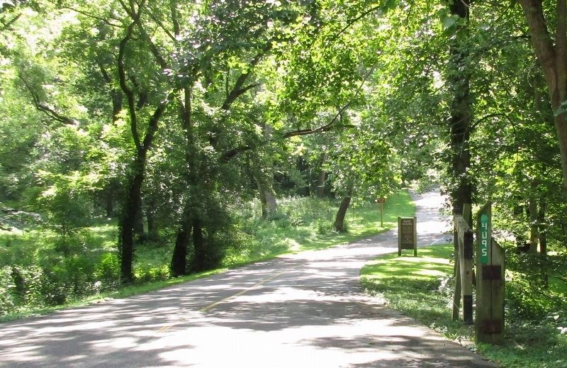
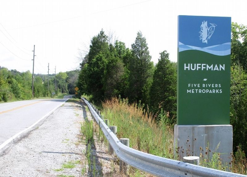
lLPike, from Huffman Dam Road. This is at the north end of Huffman Dam. The road no longer crosses the dam. St. Rt. 4 is just beyond the trees to the left. The picnic area is about a half mile ahead, on the right.
Credits. This page was last revised on January 24, 2024. It was originally submitted on August 27, 2016, by Rev. Ronald Irick of West Liberty, Ohio. This page has been viewed 888 times since then and 53 times this year. Photos: 1, 2, 3, 4, 5. submitted on August 27, 2016, by Rev. Ronald Irick of West Liberty, Ohio. • Bill Pfingsten was the editor who published this page.
