Orwell in Addison County, Vermont — The American Northeast (New England)
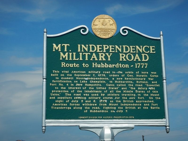
Mt. Independence Military Road
Route to Hubbardton - 1777
This vital American military road to the south of here was built on the September 7, 1776, orders of Gen. Horatio Gates to connect Mount Independence, a new Revolutionary War fortification on Lake Champlain, to Hubbardton, Rutland, and Fort No. 4 in New Hampshire. Gates called the road "Essential to the Interest of the United States" and "the safety and protection of the inhabitants of all the Middle States of this Union." The road was used by soldiers traveling to the Mount and suppliers sending military stores for the new fort. On the night of July 5 and 6, 1777, as the British approached, American forces withdrew from Mount Independence and Fort Ticonderoga along the road, fighting the British at the Battle of Hubbardton on July 7.
Erected 2012 by Vermont Division for Historic Preservation.
Topics. This historical marker is listed in these topic lists: Forts and Castles • Roads & Vehicles • War, US Revolutionary. A significant historical date for this entry is September 7, 1776.
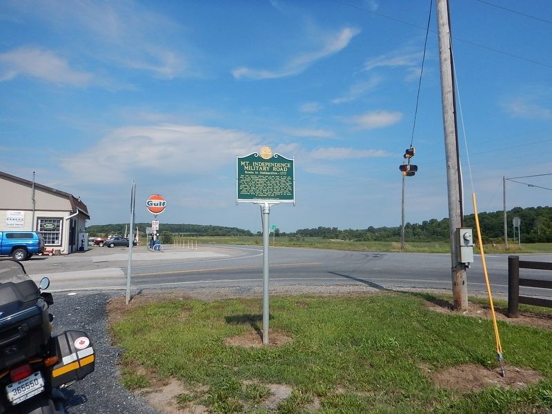
Location. 43° 48.21′ N, 73° 18.315′ W. Marker is in Orwell, Vermont, in Addison County. Marker is at the intersection of Vermont Route 22A and Vermont Route 73, on the right when traveling south on State Route 22A. Touch for map. Marker is in this post office area: Orwell VT 05760, United States of America. Touch for directions.
Other nearby markers. At least 8 other markers are within 4 miles of this marker, measured as the crow flies. World War Memorial (approx. 0.3 miles away); War Memorial (approx. 0.3 miles away); Military Road (approx. 2.3 miles away); American Blockhouse – 1777 (approx. 3.9 miles away); Southern Battery – 1777 (approx. 3.9 miles away); Foundation -1776 or 1777 (approx. 3.9 miles away); The American Southern Defenses – 1776-1777 (approx. 4 miles away); British Blockhouse - 1777 (approx. 4 miles away). Touch for a list and map of all markers in Orwell.
Related marker. Click here for another marker that is related to this marker. Former marker on same subject that was replaced

Photographed By Bill Coughlin, July 12, 2008
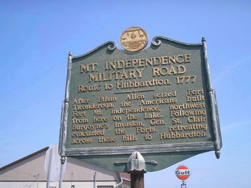
3. Original 1949 Mt. Independence Military Road Marker
After Ethan Allen seized Fort Ticonderoga, the Americans built Fort Mt. Independence, northwest from here on the Lake. Following Burgoyne’s invasion, Gen. St. Clair evacuated the Forts, retreating across these hills to Hubbardton.
Credits. This page was last revised on October 26, 2017. It was originally submitted on August 29, 2016, by Kevin Craft of Bedford, Quebec. This page has been viewed 564 times since then and 35 times this year. Photos: 1, 2. submitted on August 29, 2016, by Kevin Craft of Bedford, Quebec. 3. submitted on July 16, 2008, by Bill Coughlin of Woodland Park, New Jersey.

