The Maple Street Bridge
Historic Manistee, The Victorian Port City
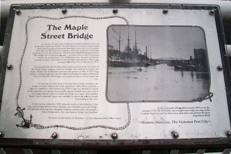
For the first 25 years after lumbermen settled in Manistee the river divided the community. People who later became prominent citizens spent their youth ferrying an occasional passenger across the river in canoes. After the Civil War, private enterprise came forth and built a toll bridge across the river on the section line which became Maple/Washington Street. This bridge was of wood and swung on a center pivot to allow schooners to pass up and down the river. Pedestrians were charged a nickel for crossing at a time when laborers earned eight cents an hour. This bridge burned in the Great Fire of October 8, 1871.
Immediately after the fire Manistee County purchased the real estate of the former bridge company. However County voters refused to finance the bridge, and the City of Manistee took over the project. In May of 1873 they ordered a swing bridge from the Wrought Iron Bridge Company of Canton, Ohio, for $18,000. The bridge was completed and in service within the year.
As amazing as it may seem to Twenty-First Century residents, the bridge was built without any safety equipment. After about a decade, a light was installed to show pedestrians if the bridge was open or closed. In the meantime, newspapers occasionally reported people and even a horse and buggy falling in the river when the bridge was open. After another
decade "newly patented" gates were installed to physically prevent people from falling in the river.A new era was entered in 1893 when the tracks of the Manistee, Filer City, and Eastlake Electric Street Railway were installed across the bridge. After another fourteen years shipping interests and the public demanded a better bridge and a new steel bascule bridge was installed.
In this panoramic photo taken around 1890 we see the schooner CITY OF TOLEDO, the wrought iron bridge, two tugs of the Canfield Tug Line and the three story (five when viewed from the river) Engelmann Block.
For more on the history of Manistee, visit the Museum at 425 River Street.
Topics. This historical marker is listed in these topic lists: Bridges & Viaducts • Waterways & Vessels. A significant historical date for this entry is October 8, 1871.
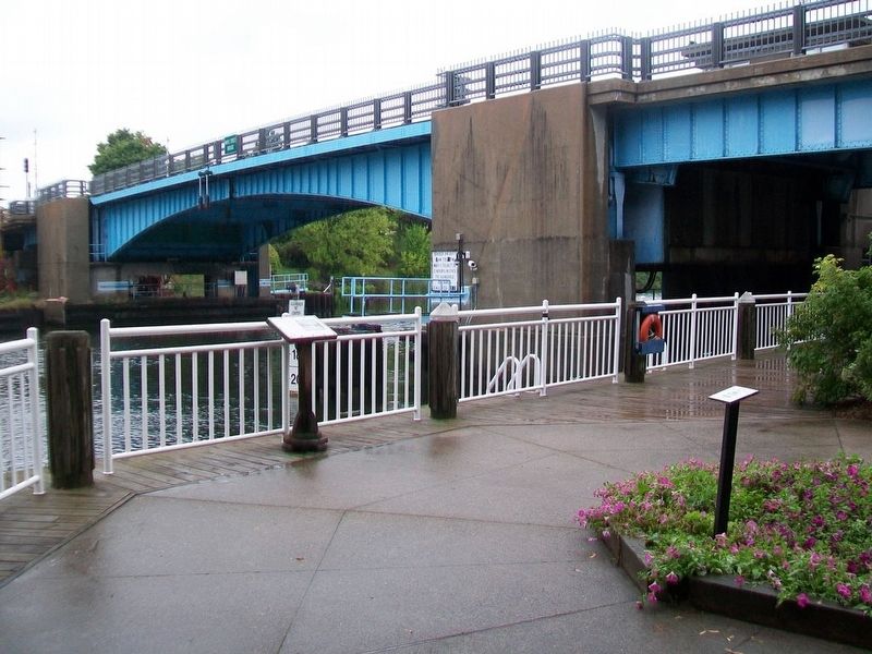
Location. 44° 14.887′ N, 86° 19.437′ W. Marker is in Manistee, Michigan, in Manistee County. Marker is along the Manistee River South Riverwalk, just west of the Maple Street Bridge. Touch for map. Marker is in this post office area: Manistee MI 49660, United States of America. Touch for directions.
Other nearby markers. At least 8 other markers are within walking distance of this marker. Furniture Factories (within shouting distance of this marker); The Tunnel (about 300 feet away, measured in a direct line); The Haley Block (about 300 feet away); The Lyman Building (about
Also see . . .
1. History of Manistee, Michigan. (Submitted on September 2, 2016, by William Fischer, Jr. of Scranton, Pennsylvania.)
2. Manistee Riverwalk. (Submitted on September 2, 2016, by William Fischer, Jr. of Scranton, Pennsylvania.)
Credits. This page was last revised on September 2, 2016. It was originally submitted on September 1, 2016, by William Fischer, Jr. of Scranton, Pennsylvania. This page has been viewed 281 times since then and 13 times this year. Photos: 1, 2. submitted on September 2, 2016, by William Fischer, Jr. of Scranton, Pennsylvania.

