The Tunnel
Historic Manistee, The Victorian Port City
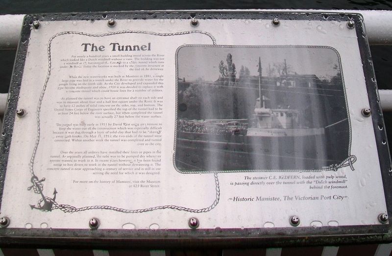
For nearly a hundred years a small building stood across the River which looked like a Dutch windmill without a vane. The building was not a windmill at all, but instead the entrance to a utility tunnel which runs under the River. Today the location is marked by the concrete structure at the end of the driveway.
When the new waterworks was built in Manistee in 1881, a single large pipe was laid in a trench under the River to provide water for the people living on the north side. As the City developed and expanded this pipe became inadequate and about 1910 it was decided to replace it with a concrete tunnel which could house lines for a number of utilities.
As planned the tunnel was to have an entrance shaft on each side and was to measure about four and a half feet square under the River. It was to have 12 inches of solid concrete on the sides, top, and bottom. The United States [Army] Corps of Engineers specified the top of the tunnel had to be at least 24 feet below the river surface, but when completed the tunnel was actually 27 feet below the water surface.
The tunnel was built early in 1911 by David West using air pressure to keep the water out of the construction which was especially difficult because it was dug through a layer of solid clay that had to be "shaved" away with knives. On May 31, 1911, the two ends
of the tunnel were connected. Within another week the tunnel was completed and turned over to the city.Over the years all utilities have installed their lines or pipes in the tunnel. As originally planned, the tube was to be pumped dry whenever anyone wanted to work in it. In recent years however it has been found easier to hire divers to work in the tunnel without dewatering it. The concrete tunnel is now approaching a century of service and is still in use serving the need for which it was designed.
The steamer C.E. REDFERN, loaded with pulp wood, is passing directly over the tunnel with the "Dutch windmill" behind the foremast.
For more on the history of Manistee, visit the Museum at 425 River Street.
Topics. This historical marker is listed in these topic lists: Architecture • Settlements & Settlers • Waterways & Vessels. A significant historical year for this entry is 1881.
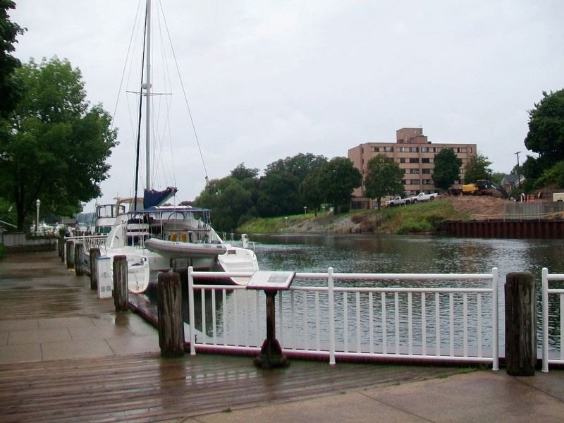
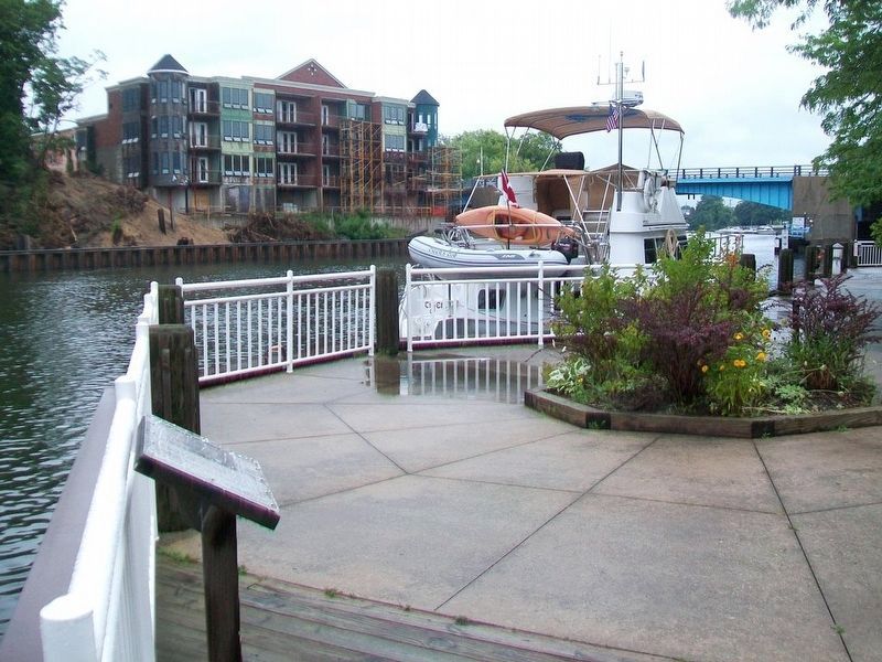
Location. 44° 14.878′ N, 86° 19.498′ W. Marker is in Manistee, Michigan, in Manistee County. Marker is along the Manistee River South Riverwalk, about 350 feet west of the Maple Street Bridge. Touch for map. Marker is in this post office area: Manistee MI 49660, United States of America. Touch for directions.
Other nearby markers. At least 8 other markers are within walking distance of this marker. The Lyman Building (within shouting distance of this marker); The Haley Block (within shouting distance of this marker); The Thompson Building
Also see . . . History of Manistee, Michigan. (Submitted on September 2, 2016, by William Fischer, Jr. of Scranton, Pennsylvania.)
Credits. This page was last revised on January 6, 2020. It was originally submitted on September 2, 2016, by William Fischer, Jr. of Scranton, Pennsylvania. This page has been viewed 457 times since then and 30 times this year. Photos: 1, 2, 3. submitted on September 2, 2016, by William Fischer, Jr. of Scranton, Pennsylvania.


