Central in Denver in Denver County, Colorado — The American Mountains (Southwest)
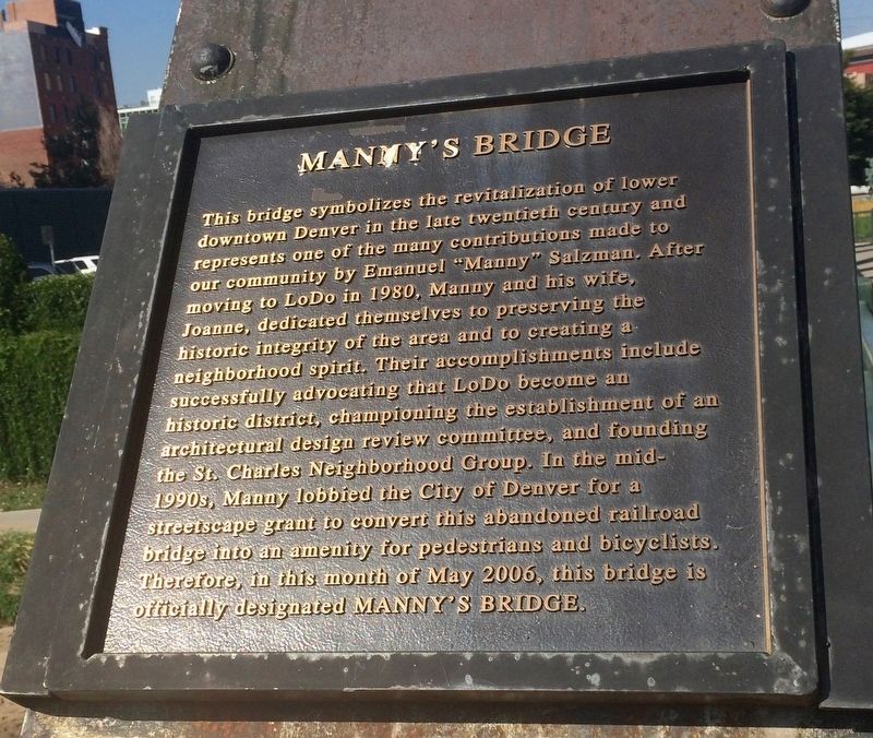
Manny's Bridge
Photographed by Mark Hilton, July 28, 2016
1. Manny's Bridge Marker
Topics. This historical marker is listed in these topic lists: Architecture • Bridges & Viaducts • Waterways & Vessels. A significant historical month for this entry is May 2006.
Location. 39° 45.007′ N, 105° 0.196′ W. Marker is in Denver, Colorado, in Denver County. It is in Central. It is on Wynkoop Street
this page online

Regionally, this marker is in the Front Range. It is also in the American Mountain West. Globally, it is in North America, the Rocky Mountains, the Western Hemisphere, the Western World, and the Anglosphere. Historically, it finds itself in what was once the Louisiana Purchase.
Other nearby markers. At least 8 other markers are within walking distance of this marker: Wynkoop Street RR Bridge (here, next to this marker); The Edbrooke Lofts (about 300 feet away, measured in a direct line); Spratlen-Anderson Building (about 400 feet away); The Elephant Corral (about 400 feet away); 15th/Wazee Street (about 500 feet away); Denver City (about 700 feet away); a different marker also named Elephant Corral (about 700 feet away); Constitution Hall (approx. 0.2 miles away). Touch for a list and map
Photographed by Mark Hilton, July 28, 2016
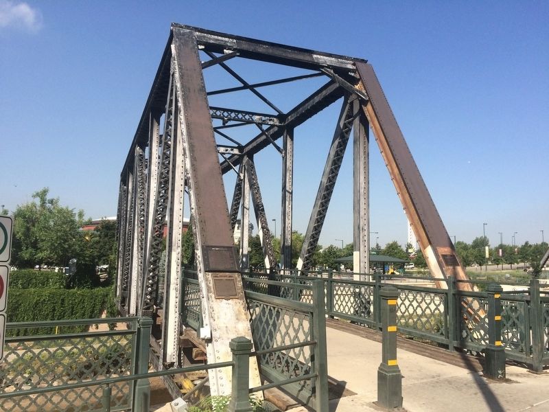
2. Manny's Bridge Marker on former railroad bridge.
Related marker. Click here for another marker that is related to this marker.
Photographed by Mark Hilton, July 28, 2016
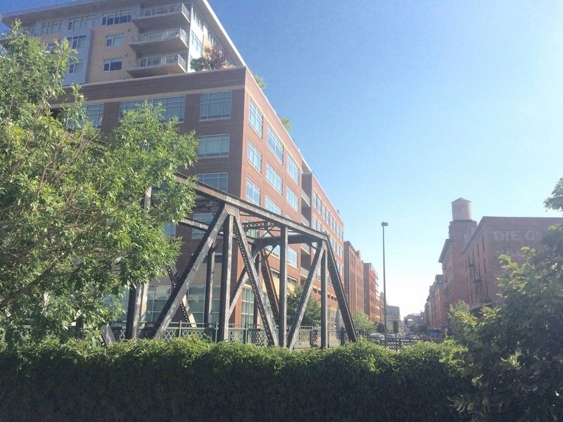
3. View of bridge across Cherry Creek.
Credits. This page was last revised on February 7, 2023. It was originally submitted on September 3, 2016, by Mark Hilton of Montgomery, Alabama. This page has been viewed 1,813 times since then and 88 times this year. Photos: 1, 2, 3. submitted on September 3, 2016, by Mark Hilton of Montgomery, Alabama.
