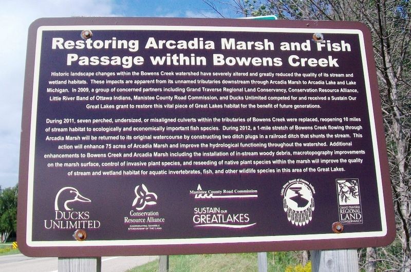
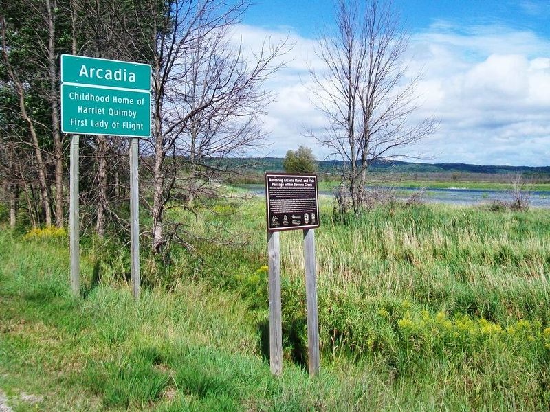
Restoring Arcadia Marsh and Fish Passage within Bowens Creek
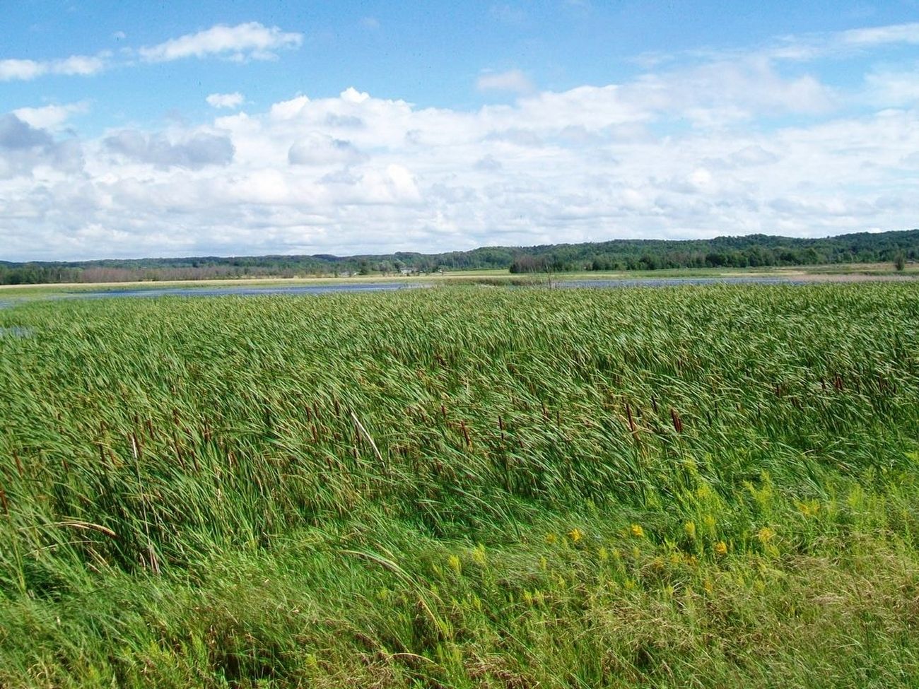
Historic landscape changes within Bowens Creek watershed have severely altered and greatly reduced the quality of its stream and wetland habitats. These impacts are apparent from its unnamed tributaries downstream through Arcadia Marsh to Arcadia Lake and Lake Michigan. In 2009, a group of concerned partners including Grand Traverse Regional Land Conservancy, Conservation Resource Alliance, Little River Band of Ottawa Indians, Manistee County Road Commission, and Ducks Unlimited competed for and received a Sustain Our Great Lakes grant to restore this vital piece of Great Lakes habitat for the benefit of future generations.
During 2011, seven perched, undersized, or misaligned culverts within the tributaries of Bowens Creek were replaced, reopening 10 miles of stream habitat to ecologically important fish species. During 2012, a 1-mile stretch of Bowens Creek flowing through Arcadia Marsh will be returned to its original watercourse by constructing two ditch plugs in a railroad ditch that shunts the stream. This action will enhance 75 acres of Arcadia Marsh and improve the hydrological functioning throughout the watershed. Additional enhancements to Bowens Creek and Arcadia Marsh including the installation of in-stream woody debris, macrotopography improvements on the marsh surface, control of invasive plant species, and reseeding
of native plant species within the marsh will improve the quality of stream and wetland habitat for aquatic invertebrates, fish, and other wildlife species in this area of the Great Lakes.Topics. This historical marker is listed in these topic lists: Charity & Public Work • Environment • Waterways & Vessels. A significant historical year for this entry is 2009.
Location. 44° 29.217′ N, 86° 13.92′ W. Marker is in Arcadia, Michigan, in Manistee County. Marker is on State Highway 22, on the right when traveling north. Touch for map. Marker is at or near this postal address: Arcadia City Limits (south end), Arcadia MI 49613, United States of America. Touch for directions.
Other nearby markers. At least 8 other markers are within 10 miles of this marker, measured as the crow flies. Trinity Lutheran Church (approx. 0.4 miles away); Harriet Quimby / Childhood Home (approx. 2˝ miles away); Joyfield Cemetery (approx. 7.7 miles away); Paul P. Harris (approx. 8˝ miles away); War Memorial (approx. 8.6 miles away); The Portage Lake Region (approx. 8.6 miles away); Marquette's Death (approx. 10 miles away); a different marker also named War Memorial (approx. 10.1 miles away). Touch for a list and map of all markers in Arcadia.
Also see . . .
1. Arcadia Marsh/Bowens Creek Restoration and Fish Passage Grant. (Submitted on September 4, 2016, by William Fischer, Jr. of Scranton, Pennsylvania.)
2. Arcadia Marsh/Bowens Creek Restoration and Fish Passage Final Technical Report
Credits. This page was last revised on December 8, 2020. It was originally submitted on September 4, 2016, by William Fischer, Jr. of Scranton, Pennsylvania. This page has been viewed 384 times since then and 13 times this year. Photos: 1, 2, 3. submitted on September 4, 2016, by William Fischer, Jr. of Scranton, Pennsylvania.


