Brandy Station in Culpeper County, Virginia — The American South (Mid-Atlantic)
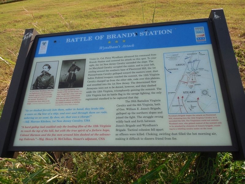
Battle of Brandy Station
Wyndham's Attack
Photographed by T. Elizabeth Renich, September 5, 2016
1. Battle of Brandy Station Marker
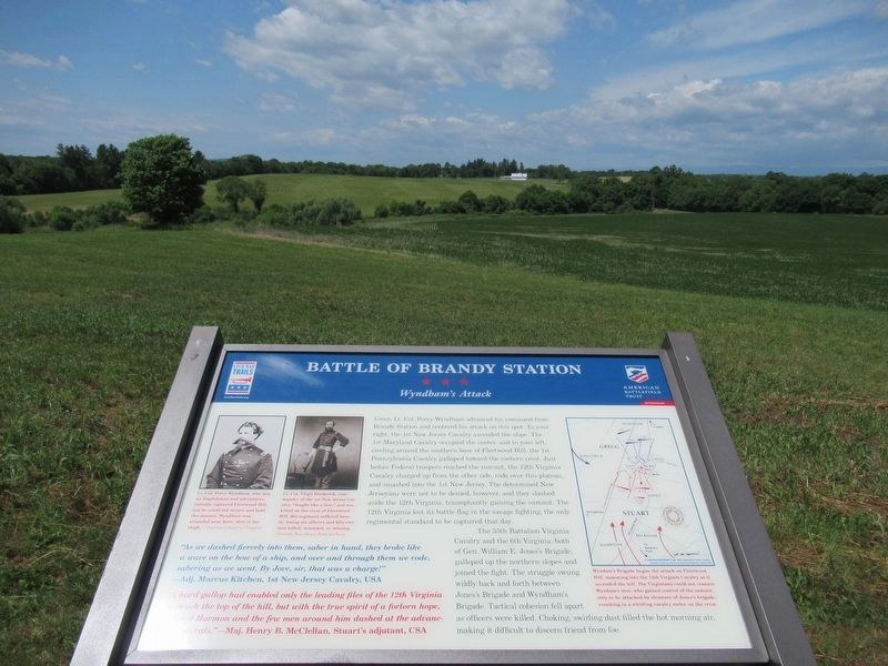
Wyndham's Attack
The 35th Battalion Virginia Cavalry and the 6th Virginia, both of Gen. William E. Jones's Brigade, galloped up the northern slopes and joined the fight. The struggle swung wildly back and forth between Jones's Brigade and Wyndham's Brigade. Tactical cohesion fell apart as officers were killed. Choking, swirling dust filled the hot morning air, making it difficult
this page online
"As we dashed fiercely into them, saber in hand, they broke like a wave on the bow of a ship, and over and through them we rode, sabering as we went. By Jove, sir, that was a charge!"
—Adj. Marcus Kitchen, 1st New Jersey Cavalry, USA
"A hard gallop had enabled only the leading files of the 12th Virginia to reach the top of the hill, but with the true spirit of a forlorn hope, Colonel Harmon and the few men around him dashed at the advancing Federals."
—Maj. Henry B. McClellan, Stuart's adjutant, CSA
Erected by Virginia Civil War Trails, Civil War Trust.
Topics and series. This historical marker is listed in this topic list: War, US Civil. In addition, it is included in the Virginia Civil War Trails series list. A significant historical date for this entry is June 9, 1863.
Location. 38° 30.569′ N, 77° 52.768′ W. Marker is in Brandy Station, Virginia, in Culpeper County. It is at the intersection of Fleetwood Heights Road (Virginia Route 685) and Stuart Lane, on the right when traveling east on Fleetwood Heights Road. Touch for map. Marker is in this post office area: Brandy Station VA
Photographed by Brandon D Cross, January 26, 2019
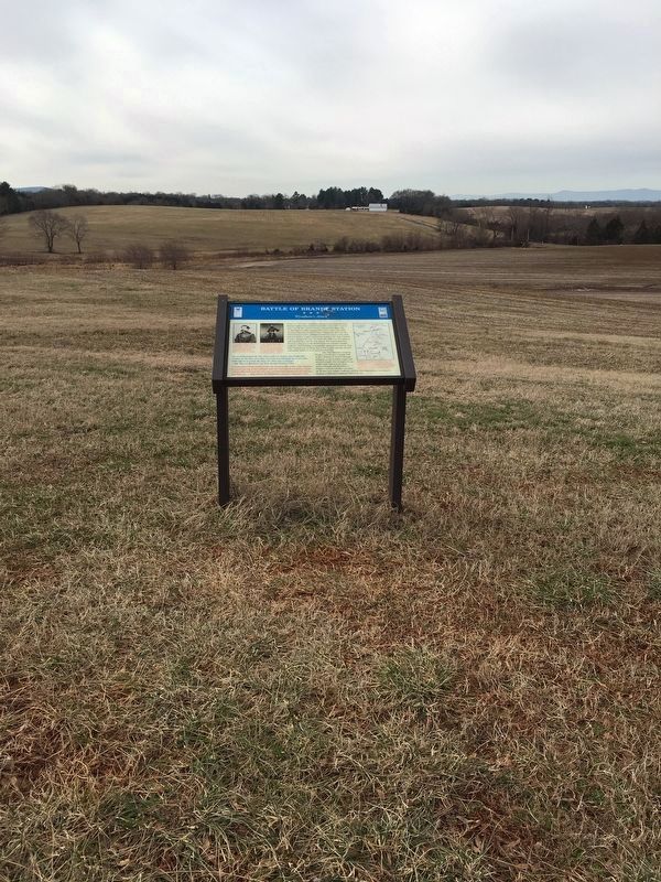
2. Battle of Brandy Station Marker

Regionally, this marker is in the Washington Metropolitan Area and in Northern Virginia. It is also in the American South, specifically in the Upper South, and in the Mid-Atlantic. Globally, it is in North America, the Western Hemisphere, the Western World, and the Anglosphere. Historically, it finds itself in what was once the territory of the Mississippian Culture, one of the original Thirteen Colonies, one of the Confederate States of America, and the Antebellum South.
Other nearby markers. At least 8 other markers are within walking distance of this marker: A different marker also named Battle of Brandy Station (here, next to this marker); a different marker also named Battle of Brandy Station (here, next to this marker); a different marker also named Battle of Brandy Station (here, next to this marker); a different marker also named Battle of Brandy Station (here, next to this marker); a different marker also named Battle of Brandy Station (here, next to this marker); George C. Hupp (here, next to this marker); a different marker also named Battle of Brandy Station
Photographed by Bradley Owen, October 18, 2016
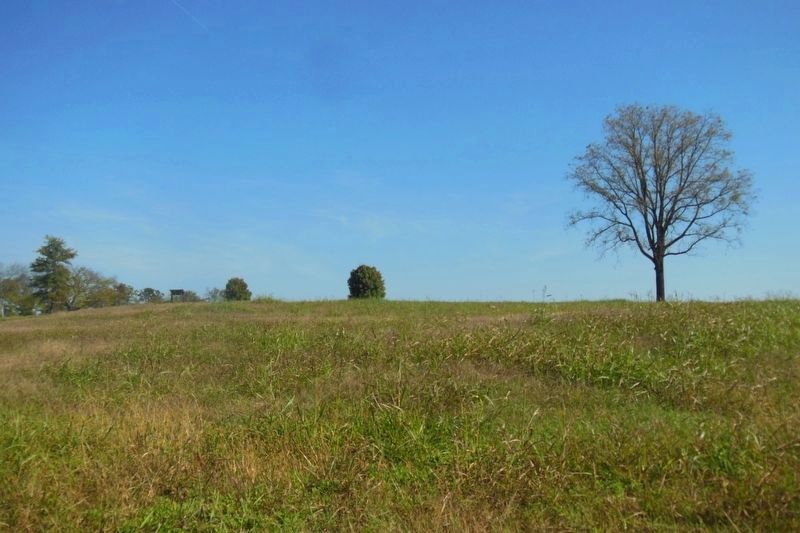
3. Wyndham's Attack Against Fleetwood Hill
The ground covered approaching the hill. The marker can be seen in the left center of the photo.
Photographed by Bradley Owen, October 18, 2016
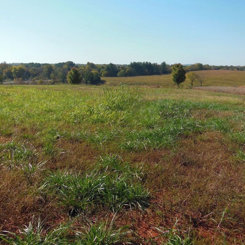
4. Wyndham's Attack
This photo was taken just left of the marker. Union Cavalry would have approached up the slope directly in front and converged on this position on Fleetwood Hill.
Photographed by Brandon D Cross, January 26, 2019
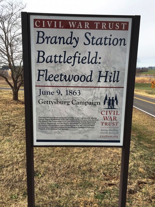
5. Brandy Station Battlefield: Fleetwood Hill Sign
Photographed by Benjamin Harrison Allen, June 8, 2024
6. Battle of Brandy Station Marker
The marker has been replaced with a new one.
Credits. This page was last revised on June 17, 2024. It was originally submitted on September 5, 2016, by T. Elizabeth Renich of Winchester, Virginia. This page has been viewed 894 times since then and 25 times this year. Photos: 1. submitted on September 5, 2016, by T. Elizabeth Renich of Winchester, Virginia. 2. submitted on March 29, 2019, by Brandon D Cross of Flagler Beach, Florida. 3, 4. submitted on February 18, 2021, by Bradley Owen of Morgantown, West Virginia. 5. submitted on March 29, 2019, by Brandon D Cross of Flagler Beach, Florida. 6. submitted on June 12, 2024, by Benjamin Harrison Allen of Amissville, Virginia. • Bernard Fisher was the editor who published this page.
