Kirkersville in Licking County, Ohio — The American Midwest (Great Lakes)
Kirkersville
The Impact of the Interurban
| — | The Historic National Road in Ohio | — |
Photographed by Rev. Ronald Irick, September 2, 2016
1. Kirkersville Marker
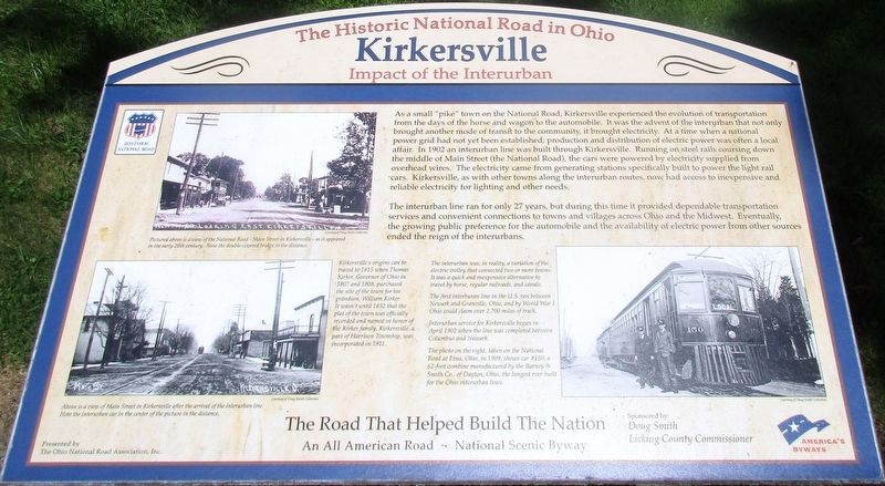
The interurban line only ran for 27 years, but during this time it provided dependable transportation services and convenient connections to towns and villages across Ohio and the Midwest. Eventually the growing public preference for the automobile and the
this page online
Erected 2010 by The Ohio National Road Association, Inc.
Topics and series. This historical marker is listed in these topic lists: Industry & Commerce • Railroads & Streetcars • Roads & Vehicles. In addition, it is included in the The Historic National Road series list.
Location. 39° 57.557′ N, 82° 35.775′ W. Marker is in Kirkersville, Ohio, in Licking County. It is at the intersection of West Main Street (U.S. 40) and 3rd Street, on the right when traveling west on West Main Street. there are two (2) markers in front of the Kirkersville United Methodist Church. Touch for map. Marker is at or near this postal address: 180 West Main Street, Kirkersville OH 43033, United States of America. Touch for directions.

Regionally, this marker is in the Columbus Metropolitan Area. It is also in the American Midwest, in the Corn Belt, in Appalachia, and specifically in Northern Appalachia. Globally, it is in North America, the Western Hemisphere, the Western World, and the Anglosphere.
Photographed by Rev. Ronald Irick, September 2, 2016
2. Kirkersville Marker
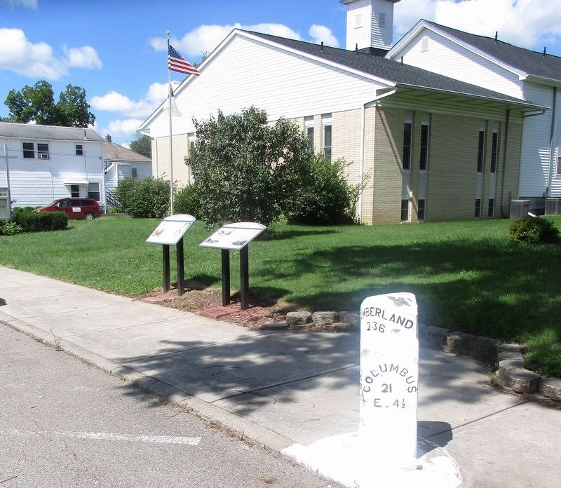
Full view of two markers and mile post
Other nearby markers. At least 8 other markers are within 6 miles of this marker, measured as the crow flies: Mile Markers (here, next to this marker); Outville (approx. 2.4 miles away); Etna (approx. 4½ miles away); Hebron (approx. 4.9 miles away); Veterans of Foreign Wars Post 3496 Veterans Memorial (approx. 4.9 miles away); Conine Homestead (approx. 5.1 miles away); Deep Cut at the Licking Summit / Millersport and the Ohio-Erie Canal (approx. 5.3 miles away); Elwood "Doc" Fahl (approx. 5.6 miles away).
Other markers no longer nearby. Pataskala Elementary School (was approx. 5 miles away but has been confirmed missing); Millersport World War II Memorial (was approx. 5.3 miles away but has been confirmed missing).
Additional keywords. Old National Road
Photographed by Rev. Ronald Irick, September 2, 2016
3. Kirkersville Marker
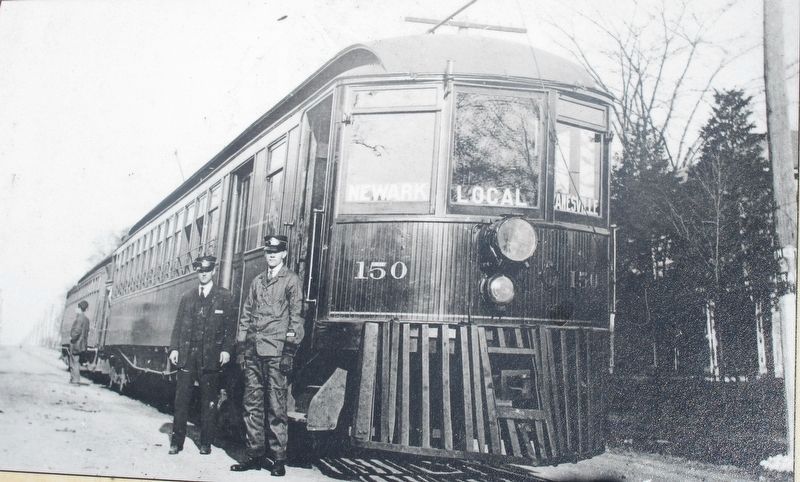
Picture of interurban car on marker
Photographed by Rev. Ronald Irick, September 2, 2016
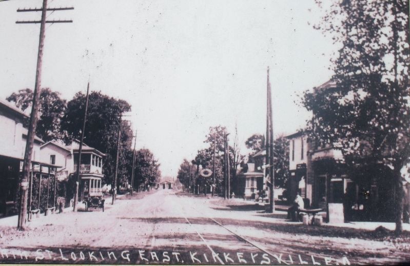
4. Kirkersville Marker
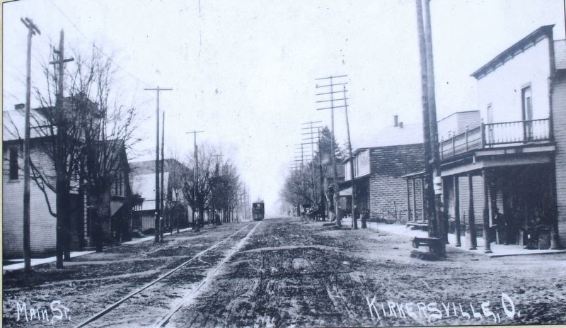
Street scene of the National Road, on the marker
Photographed by Rev. Ronald Irick, September 2, 2016
5. Kirkersville Marker
Second street scene of National Road
Credits. This page was last revised on September 8, 2016. It was originally submitted on September 6, 2016, by Rev. Ronald Irick of West Liberty, Ohio. This page has been viewed 971 times since then and 71 times this year. Photos: 1, 2, 3, 4, 5. submitted on September 6, 2016, by Rev. Ronald Irick of West Liberty, Ohio. • Bill Pfingsten was the editor who published this page.
