Mansura in Avoyelles Parish, Louisiana — The American South (West South Central)
Battle of Mansura

Photographed by Cajun Scrambler, September 2, 2016
1. Battle of Mansura Marker
English Side
English:
Confederate forces under General Dick Taylor here formed battle line May 16, 1864, barring passage of General Banks' retreating Union Army. The Battle of Mansura ended in withdrawal of Confederates.
French:
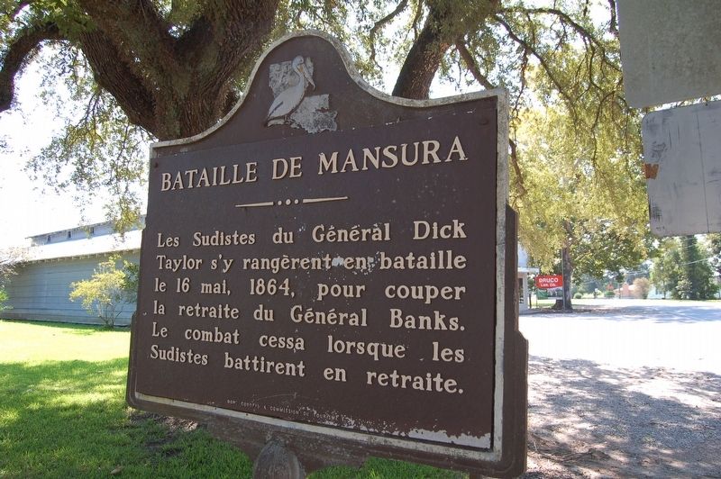
Bataille De Mansura
Les Sudistes du Général Dick Taylor s'y rangèrent en bataille le 16 mai, 1864, pour couper la retraite du Général Banks. Le combat cessa lorsque le Sudistes en retraite.
Erected 1954 by Louisiana Department of Commerce and Industry.
Topics. This historical marker is listed in this topic list: War, US Civil. A significant historical date for this entry is May 16, 1864.
Location. 31° 3.3′ N, 92° 2.851′ W. Marker is in Mansura, Louisiana, in Avoyelles Parish. It is on L ��Église Street (State Highway 114) north of Drouin Street, on the right when traveling north. Touch for map. Marker is in this post office area: Mansura LA 71350, United States of America. Touch for directions.

Regionally, this marker is in Central Louisiana and in Acadiana — Cajun Country. It is also in the American South and specifically in the Deep South. Globally, it is in North America, a Gulf of Mexico state, the Western
this page online
Other nearby markers. At least 8 other markers are within 5 miles of this marker, measured as the crow flies: Mansura (approx. half a mile away); Desfossé House (approx. half a mile away); Avoyelles Parish Veterans Memorial (approx. 1.1 miles away); Avoyelles Parish Vietnam Memorial (approx. 3 miles away); Presentation Academy (approx. 3.6 miles away); Cottonport Veterans Memorial (approx. 3.7 miles away); Tunica-Biloxi Indian Reservation (approx. 4 miles away); The Marksville Site (approx. 4.2 miles away). Touch for a list and map of all markers in Mansura.
Photographed by Cajun Scrambler, September 2, 2016
2. Bataille de Mansura Marker
French Side
Photographed by Cajun Scrambler, September 2, 2016
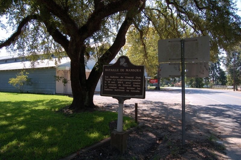
3. Battle of Mansura Marker
Credits. This page was last revised on June 2, 2024. It was originally submitted on September 7, 2016. This page has been viewed 1,586 times since then and 130 times this year. Photos: 1, 2, 3. submitted on September 7, 2016. • Bernard Fisher was the editor who published this page.
