Marker Logo
THE HISTORICAL
MARKER DATABASE
“Bite-Size Bits of Local, National, and Global History”
Gainesville in Cooke County, Texas — The American South (West South Central)
 

Gainesville-Fort Sill Road
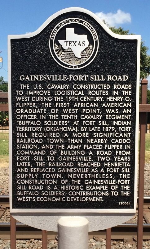
 
 
Gainesville-Fort Sill Road Marker image. Click for full size.
Photographed by Mark Hilton, July 21, 2016
1. Gainesville-Fort Sill Road Marker
Inscription. The U.S. Cavalry constructed roads to improve logistical routes in the west during the 19th century. Henry O. Flipper, the first African American graduate of West Point, was an officer in the Tenth Cavalry regiment “Buffalo Soldiers” at Fort Sill, Indian Territory (Oklahoma). By late 1879, Fort Sill required a more significant railroad town than nearby Caddo Station, and the Army placed Flipper in command of building a road from Fort Sill to Gainesville. Two years later, the railroad reached Henrietta and replaced Gainesville as a Fort Sill supply town. Nevertheless, the construction of the Gainesville-Fort Sill Road is a historic example of the Buffalo Soldiers’ contributions to the west’s economic development.
 
Erected 2006 by State Historical Survey Committee. (Marker Number 13613.)
 
Topics. This historical marker is listed in these topic lists: African AmericansMilitaryRailroads & StreetcarsRoads & Vehicles. A significant historical year for this entry is 1879.
 
Location. 33° 37.467′ N, 97° 8.431′ W. Marker is in Gainesville, Texas, in Cooke County. It is at the intersection of Depot Lane and East California Street (Texas Highway 51), on the right when traveling north on Depot Lane. Located at the Gainesville AMTRAK rail station. Touch for map. Marker is at or near this postal address: 605 East California Street, Gainesville TX 76240, United States of America. Touch for directions.

Regionally, this marker is in the Prairies & Lakes Region. It is also in the American South. Globally, it is in North America, a Gulf of Mexico state, the Western Hemisphere, the Western World, and the Anglosphere. Historically, it finds itself in what was once New Spain, the Republic of Texas, one of the Confederate States of America, and the Antebellum South.

Other nearby markers. At
Paid Advertisement
Click or scan to see
this page online
least 8 other markers are within walking distance of this marker: Santa Fe Passenger Depot (within shouting distance of this marker); Saint Paul's Church (about 400 feet away, measured in a direct line); The Great Hanging at Gainesville, 1862 (about 700 feet away); Cooke County Free Library (about 700 feet away); First United Methodist Church (about 800 feet away); Barbed Wire in Cooke County (approx. Ό mile away); Gainesville National Bank (approx. Ό mile away); Cooke County Courthouse (approx. 0.3 miles away). Touch for a list and map of all markers in Gainesville.
 
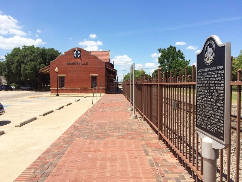
Gainesville-Fort Sill Road Marker at Gainesville Depot. image. Click for full size.
Photographed by Mark Hilton, July 21, 2016
2. Gainesville-Fort Sill Road Marker at Gainesville Depot.
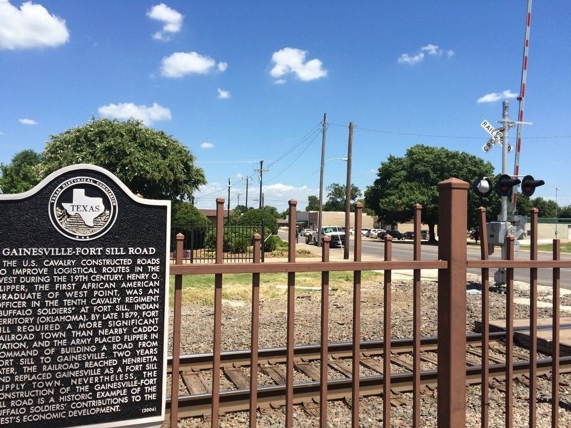
View of marker looking east on California Street. image. Click for full size.
Photographed by Mark Hilton, July 21, 2016
3. View of marker looking east on California Street.
Gainesville-Fort Sill Road Marker image. Click for full size.
Photographed by Gary Estep, January 9, 2026
4. Gainesville-Fort Sill Road Marker
Restored marker
 
 
Credits. This page was last revised on January 13, 2026. It was originally submitted on September 8, 2016, by Mark Hilton of Montgomery, Alabama. This page has been viewed 1,043 times since then and 45 times this year. Photos:   1, 2, 3. submitted on September 8, 2016, by Mark Hilton of Montgomery, Alabama.   4. submitted on January 9, 2026, by Gary Estep of Anna, Texas.

m=97593

CeraNet Cloud Computing sponsors the Historical Marker Database.
This website earns income from purchases you make after using our links to Amazon.com. We appreciate your support.
Paid Advertisement
Aug. 1, 2026