Near Tishomingo in Tishomingo County, Mississippi — The American South (East South Central)
The Natchez Trace
1791 - 1913
1791 - 1913.
Marked by the Daughters
of the American
Revolution in
Ala. & Miss.
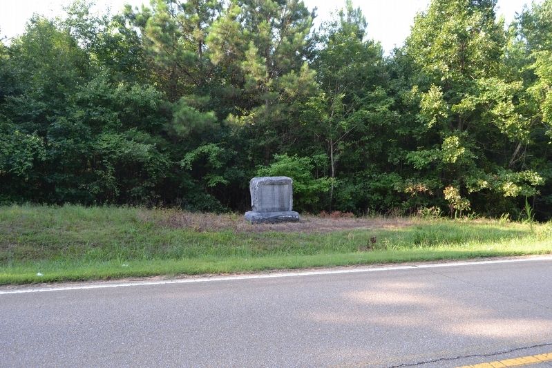
This historic highway was first used as a mail route in 1791, and was a well known Indian trail in far earlier days.
Erected 1913 by Daughters of the American Revolution.
Topics and series. This historical marker is listed in these topic lists: Native Americans • Roads & Vehicles. In addition, it is included in the Daughters of the American Revolution, and the Natchez Trace series lists. A significant historical year for this entry is 1791.
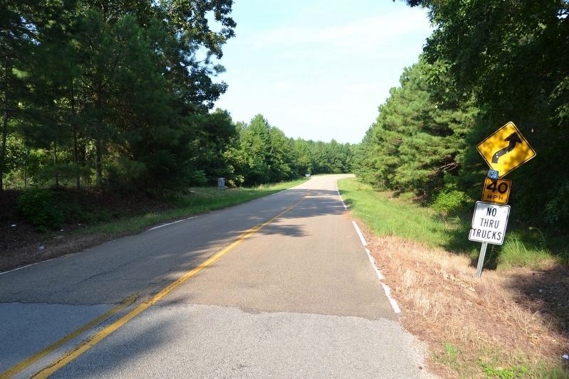
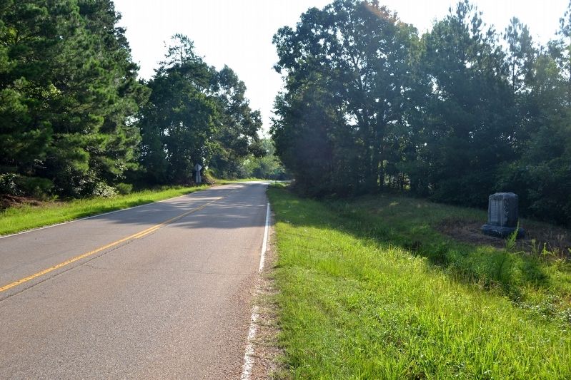
Location. 34° 41.036′ N, 88° 7.511′ W. Marker is near Tishomingo, Mississippi, in Tishomingo County. Marker is on County Road 958, 1˝ miles east of County Road 104, on the right when traveling east. Touch for map. Marker is in this post office area: Tishomingo MS 38873, United States of America. Touch for directions.
Other nearby markers. At least 8 other markers are within 9 miles of this marker, measured as the crow flies. Bear Creek Mound (approx. 2.8 miles away); Cave Spring (approx. 3 miles away); a different marker also named Natchez Trace (approx. 6.9 miles away); Levi Colbert Stand (approx. 7.8 miles away in Alabama); Something to Chew on (approx. 7.9 miles away in Alabama); Bridging Cultures (approx. 7.9 miles away in Alabama); Barton Hall (approx. 8.4 miles away in Alabama); Unknown Soldiers (approx. 8˝ miles away). Touch for a list and map of all markers in Tishomingo.
More about this marker. Marker is 200 feet west of the Mississippi - Alabama state line. The marker can also be reached from Allsboro, Alabama by taking Old Natchez Trace Road one mile to the southwest.
Credits. This page was last revised on September 9, 2016. It was originally submitted on September 9, 2016, by Duane Hall of Abilene, Texas. This page has been viewed 307 times since then and 25 times this year. Photos: 1, 2, 3, 4. submitted on September 9, 2016, by Duane Hall of Abilene, Texas.


