Near Fredericksburg in Stafford County, Virginia — The American South (Mid-Atlantic)
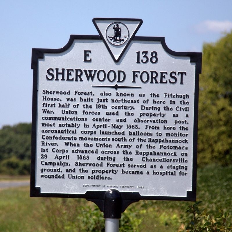
Sherwood Forest
Erected 2013 by Department of Historic Resources. (Marker Number E-138.)
Topics and series. This historical marker is listed in this topic list: War, US Civil. In addition, it is included in the Virginia Department of Historic Resources (DHR) series list. A significant historical date for this entry is April 29, 1863.
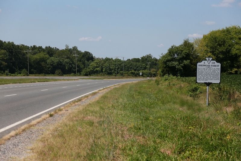
Location. 38° 15.757′ N, 77° 24.794′ W. Marker is near Fredericksburg, Virginia, in Stafford County. Marker is on Kings Highway (Virginia Route 3) east of Sherwood Forest Farm Road, on the left when traveling east. Touch for map. Marker is in this post office area: Fredericksburg VA 22405, United States of America. Touch for directions.
Other nearby markers. At least 8 other markers are within 2 miles of this marker, measured as the crow flies. Little Falls (approx. ¾ mile away); Fort Hood (approx. one mile away); Stuart and Pelham (approx. one mile away); The Gallant Pelham (approx. one mile away); The Battle of Fredericksburg (approx. one mile away); a different marker also named The Gallant Pelham (approx. one mile away); Duff McDuff Green Memorial Park (approx. 1.2 miles away); Colonial Fort (approx. 1.4 miles away). Touch for a list and map of all markers in Fredericksburg.
Also see . . . A Visit to Sherwood Forest, 2013. This web page has photographs of the house and grounds. (Submitted on September 14, 2016, by J. J. Prats of Powell, Ohio.)
Credits. This page was last revised on February 2, 2023. It was originally submitted on September 14, 2016, by J. J. Prats of Powell, Ohio. This page has been viewed 1,468 times since then and 88 times this year. Last updated on September 22, 2022, by Mason Newton of Fredericksburg, Virginia. Photos: 1, 2. submitted on September 14, 2016, by J. J. Prats of Powell, Ohio. • Bernard Fisher was the editor who published this page.

