Near Oxford in Butler County, Ohio — The American Midwest (Great Lakes)
Stillwell’s Corners
Inscription.
side A
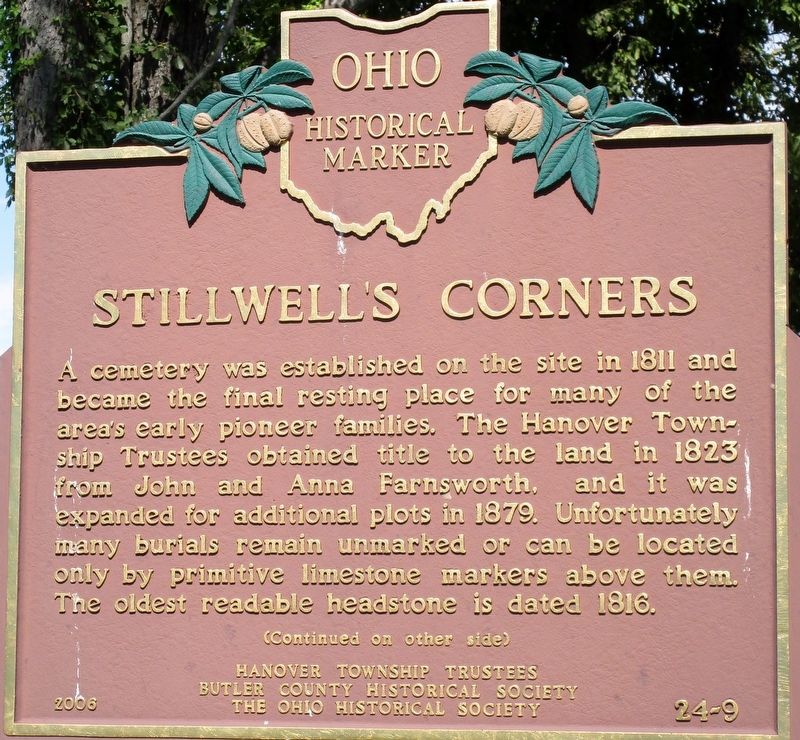
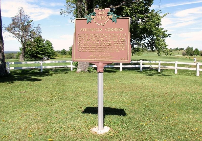
A cemetery was established on the site in 1811 and became the final resting place for many of the area's early pioneer families. The Hanover Township Trustees obtained title to the land in 1823 from John and Anna Farnsworth, and it was expanded for additional plots in 1879. Unfortunately many burials remain unmarked or can be located only by primitive limestone markers above them. The oldest readable headstone is dated 1816.
Erected 2006 by Hanover Township Trustees, Butler County Historical Society, The Ohio Historical Society. (Marker Number 24- 9.)
Topics and series. This historical marker is listed in these topic lists: Cemeteries & Burial Sites • Settlements & Settlers . In addition, it is included in the Ohio Historical Society / The Ohio History Connection series list. A significant historical year for this entry is 1811.
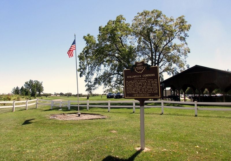
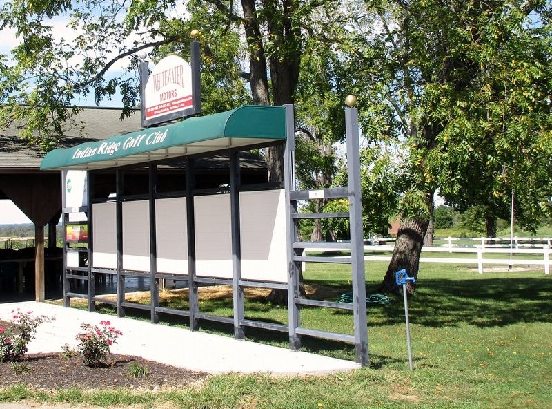
Location. 39° 27.474′ N, 84° 41.322′ W. Marker is near Oxford, Ohio, in Butler County. Marker can be reached from Oxford Millville Road (U.S. 27) 0.3 miles north of Stillwell Beckett Road, on the right when traveling north. Marker is in Stillwell Cemetery in Indian Ridge Golf club. NOT accessible from public roads, but from the parking lot of the golf course. County Auditor's map shows the fenced cemetery to be public land. Touch for map. Marker is at or near this postal address: 2600 Oxford Millville Rd, Oxford OH 45056, United States of America. Touch for directions.
Other nearby markers. At least 8 other markers are within 4 miles of this marker, measured as the crow flies. Stillwell Cemetery Veterans Memorial (a few steps from this marker); Veterans Memorial (approx. 2˝ miles away); Milford Township Veterans Memorial (approx. 3 miles away); Bunker Hill / Dog Town (approx. 3.4 miles away); Bunker Hill Universalist Church/Bunker Hill Cemetery (approx. 3˝ miles away); Bethel Chapel (approx. 3.6 miles away); Lewis-Sample Farmstead / Butler County's American Indian Heritage (approx. 3.6 miles away); Freedom Summer 1964 (approx. 3.6 miles away). Touch for a list and map of all markers in Oxford.
Credits. This page was last revised on September 16, 2016. It was originally submitted on September 14, 2016, by Rev. Ronald Irick of West Liberty, Ohio. This page has been viewed 375 times since then and 27 times this year. Photos: 1, 2, 3, 4, 5. submitted on September 14, 2016, by Rev. Ronald Irick of West Liberty, Ohio. • Bernard Fisher was the editor who published this page.
