Terrell in Kaufman County, Texas — The American South (West South Central)
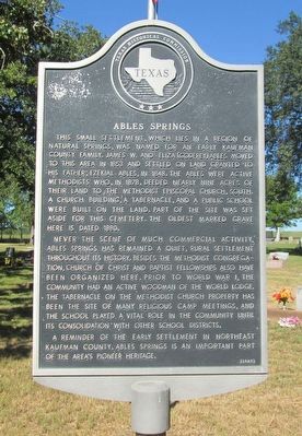
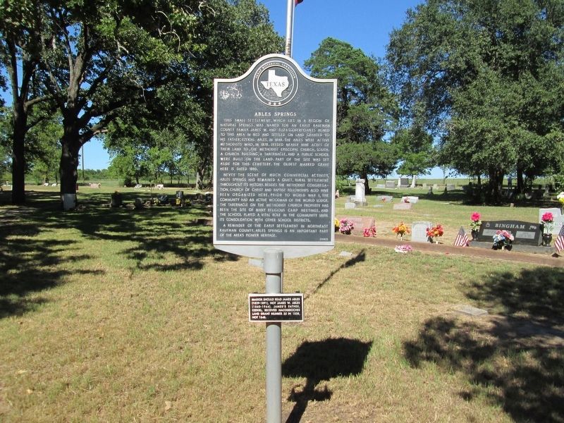
Ables Springs
Never the scene of much commercial activity, Ables Springs has remained a quiet, rural settlement throughout its history. Besides the Methodist congregation, Church of Christ and Baptist fellowships also have been organized here. Prior to World War I, the community had an active Woodman of the World Lodge. The tabernacle on the Methodist church property has been the site of many religious camp meetings, and the school played a vital role in the community until its consolidation with other school districts.
A reminder of the early settlement in northeast Kaufman County, Ables Springs is an important part of the area's pioneer heritage.
Supplemental:
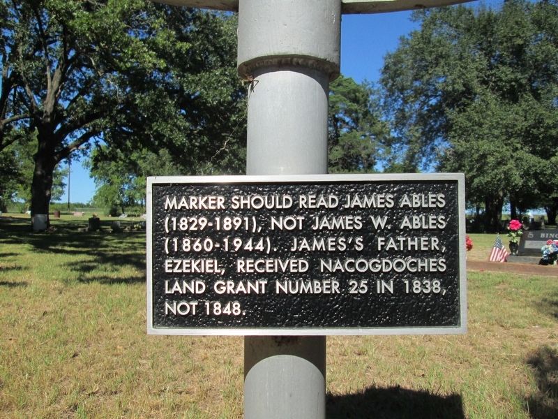
Marker should read James Ables (1829-1891), not James W. Ables (1860-1944). James's father, Ezekiel, received Nacogdoches land grant number 25 in 1838, not 1848.
Erected 1985 by Texas Historical Commission. (Marker Number 8485.)
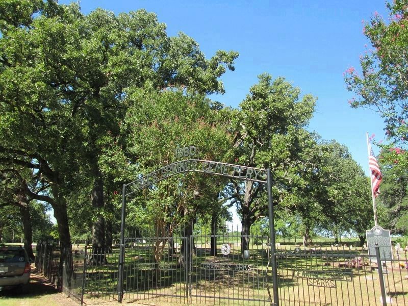
Topics. This historical marker is listed in these topic lists: Cemeteries & Burial Sites • Settlements & Settlers. A significant historical year for this entry is 1853.
Location. 32° 48.841′ N, 96° 7.16′ W. Marker is in Terrell, Texas, in Kaufman County. Marker is at the intersection of County Route 338 and County Route 339, on the left when traveling south on County Route 338. Touch for map. Marker is in this post office area: Terrell TX 75161, United States of America. Touch for directions.
Other nearby markers. At least 8 other markers are within 10 miles of this marker, measured as the crow flies. Poetry Baptist Church (approx. 7.1 miles away); Union Grove Cemetery (approx. 7.2 miles away); Poetry Methodist Church (approx. 7.4 miles away); Dry Creek Cemetery (approx. 8.4 miles away); Rowden Cotton (approx. 8.9 miles away); Lake Tawakoni (approx. 9 miles away); Terrell State Hospital Cemetery (approx. 9.1 miles away); Porter Farms (approx. 9.3 miles away). Touch for a list and map of all markers in Terrell.
More about this marker. The supplemental marker was issued marker number 14986 and erected 2002.
Credits. This page was last revised on September 16, 2016. It was originally submitted on September 15, 2016, by Rheba Bybee of Seagoville, Texas. This page has been viewed 601 times since then and 39 times this year. Photos: 1, 2, 3, 4. submitted on September 15, 2016, by Rheba Bybee of Seagoville, Texas. • Bernard Fisher was the editor who published this page.


