Moreauville in Avoyelles Parish, Louisiana — The American South (West South Central)
Moreauville
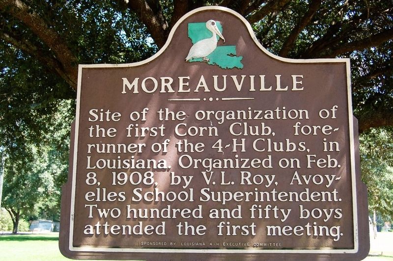
Photographed by Cajun Scrambler, September 2, 2016
1. Moreauville Marker
Erected by Louisiana 4-H Executive Committee.
Topics and series. This historical marker is listed in these topic lists: Agriculture • Education • Fraternal or Sororal Organizations • Settlements & Settlers. In addition, it is included in the 4-H Youth Program series list. A significant historical date for this entry is February 8, 1908.
Location. 31° 2.086′ N, 91° 58.36′ W. Marker is in Moreauville, Louisiana, in Avoyelles Parish. It is on Main Street (State Highway 114) near Gautheir Street, on the left when traveling west. Located in front of the Historic Avoyelles High School. Touch for map. Marker is at or near this postal address: 287 Main St, Moreauville LA 71355, United States of America. Touch for directions.

Regionally, this marker is in Central Louisiana and in Acadiana — Cajun Country. It is also in the American South and specifically in the Deep South. Globally, it is in North America,
this page online
Other nearby markers. At least 8 other markers are within 6 miles of this marker, measured as the crow flies: Sacred Heart Roman Catholic Church (approx. 0.3 miles away); For God and Country (approx. 0.3 miles away); Battle of Mansura (approx. 4.7 miles away); Mansura (approx. 5 miles away); Desfossé House (approx. 5 miles away); Cottonport Veterans Memorial (approx. 5.2 miles away); Avoyelles Parish Veterans Memorial (approx. 5.2 miles away); The Historic Oaks of Cottonport (approx. 5.6 miles away). Touch for a list and map of all markers in Moreauville.
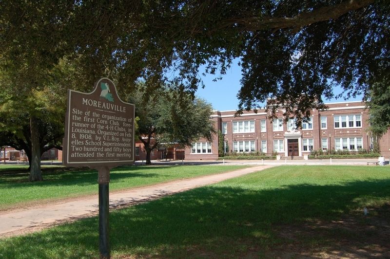
Photographed by Cajun Scrambler, September 2, 2016
2. Moreauville Marker

September 2, 2016
3. Historic Avoyelles High School
Credits. This page was last revised on October 18, 2025. It was originally submitted on September 21, 2016. This page has been viewed 933 times since then and 54 times this year. Photos: 1, 2, 3. submitted on September 21, 2016. • Bernard Fisher was the editor who published this page.
