Near Beulah in Crook County, Wyoming — The American West (Mountains)
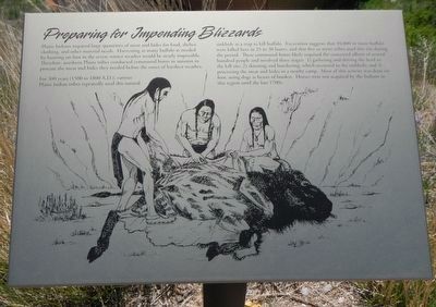
Preparing for Impending Blizzards
For 300 years (1500 to 1800 A.D.), various Plains Indian tribes repeatedly used this natural sinkhole as a trap to kill buffalo. Excavations suggests that 10,000 or more buffalo were killed here in 25 to 30 hunts, and that five or more tribes used this site during the period. The communal hunts likely required the concerted efforts of several hundred people involved three stages: 1) gathering and driving the herd to the kill site; 2) skinning and butchering, which occurred in the sinkhole; and 3) processing the meat and hides in a nearby camp. Most of this activity was done on foot, using dogs as beasts of burden. Horses were not acquired by the Indians in this region until the late 1700s.
Erected by Vore Buffalo Jump Foundation.
Topics. This historical marker is listed in this topic list: Native Americans.
Location. 44° 32.166′ N, 104° 9.414′ W. Marker is near Beulah, Wyoming, in Crook County. Marker is on Old U.S. 14 near Wyoming Highway 111, on the right when traveling east. Touch for map. Marker is in this post office area: Sundance WY 82729, United States of America. Touch for directions.
Other nearby markers. At least 8 other markers are within 3 miles of this marker, measured as the crow flies. The Ideal Hunting Ground (a few steps from this marker); Vore Buffalo Jump (within shouting distance of this marker); Understanding Bison Behavior Brought Success (within shouting distance of this marker); Discovering the Vore Archaeological Site (within shouting distance of this marker); Trapping Buffalo (within shouting distance of this marker); A Community Processing Plant (within shouting distance of this marker); The Custer Trail (approx. 2˝ miles away); Rich Colors, Rich Lands (approx. 2˝ miles away). Touch for a list and map of all markers in Beulah.
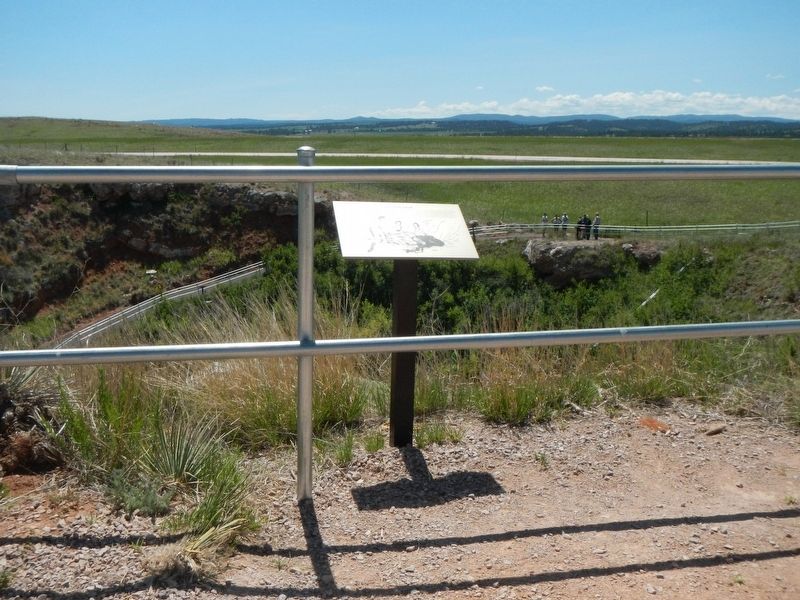
More about this marker. The Vore Buffalo Jump site is located on Old U.S. 14 about 2 1/2 miles east of the Wyoming Welcome Center. The marker is found along the path leading down to the excavation site.
Credits. This page was last revised on September 23, 2016. It was originally submitted on September 23, 2016, by Barry Swackhamer of Brentwood, California. This page has been viewed 280 times since then and 13 times this year. Photos: 1, 2. submitted on September 23, 2016, by Barry Swackhamer of Brentwood, California.
Editor’s want-list for this marker. Additional markers are to be found on the path leading down to the excavation site. • Can you help?

