Charlevoix in Charlevoix County, Michigan — The American Midwest (Great Lakes)
Big Rock Point Nuclear Power Plant Flag Pole
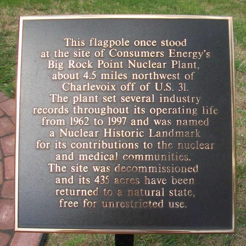
Photographed by William Fischer, Jr., August 26, 2016
1. Big Rock Point Nuclear Power Plant Flag Pole Marker
Topics. This historical marker is listed in these topic lists: Charity & Public Work • Industry & Commerce • Science & Medicine. A significant historical year for this entry is 1962.
Location. 45° 19.113′ N, 85° 15.89′ W. Marker is in Charlevoix, Michigan, in Charlevoix County. It is on Palmer Circle, on the left when traveling west. Touch for map. Marker is at or near this postal address: Michigan Beach Park 95 Grant Street, Charlevoix MI 49720, United States of America. Touch for directions.

Regionally, this marker is in Northern Michigan Lower Peninsula, in the Grand Traverse Bay Region, and in one of the Lake Michigan Shore counties. It is also in the American Midwest.
this page online
Other nearby markers. At least 8 other markers are within walking distance of this marker: Battle of "Pine River" (within shouting distance of this marker); Lake Michigan Beach Area, Lighthouse & Piers / Vessels in the Lower Channel (about 700 feet away, measured in a direct line); The First Congregational Church (approx. 0.2 miles away); Pierre Francois-Xavier de Charlevoix (approx. ¼ mile away); History of Indigenous People in the Region / History of Indigenous People in the Area (approx. ¼ mile away); 103 Main Street (now Park Avenue) (approx. ¼ mile away); The Last Swing Bridge (approx. ¼ mile away); The Lower Channel / Bridges, Boats, and the Weathervane Inn (approx. ¼ mile away). Touch for a list and map of all markers in Charlevoix.
Related marker. Click here for another marker that is related to this marker.
Also see . . . Big Rock Point Nuclear Power Plant History. (Submitted on September 24, 2016, by William Fischer, Jr. of Reynoldsburg, Ohio.)
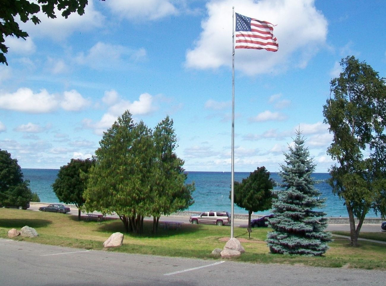
Photographed by William Fischer, Jr., August 26, 2016
2. Big Rock Point Nuclear Power Plant Flag Pole and Marker
Credits. This page was last revised on December 7, 2020. It was originally submitted on September 24, 2016, by William Fischer, Jr. of Reynoldsburg, Ohio. This page has been viewed 588 times since then and 30 times this year. Photos: 1, 2. submitted on September 24, 2016, by William Fischer, Jr. of Reynoldsburg, Ohio.
