
Near Bozeman in Gallatin County, Montana — The American West (Mountains)
The Bozeman Trail
Photographed by Rev. Ronald Irick, July 14, 2016
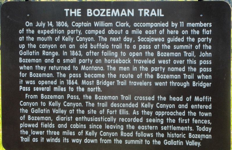
1. The Bozeman Trail Marker
close up; showing text
From Bozeman Pass, the Bozeman Trail crossed the head of Moffit Canyon to Kelly Canyon. The trail descended Kelly Canyon and entered the Gallitan Valley at the site of Fort Ellis. As they approached the town of Bozeman diarist enthusiastically recorded seeing the first fences, plowed fields and cabins since leaving the eastern settlements. Today the lower three miles of Kelly Canyon Road follows the historic Bozeman Trail as it winds its way down from the summit to the Gallitan
this page online
Topics and series. This historical marker is listed in these topic lists: Exploration • Roads & Vehicles • Settlements & Settlers. In addition, it is included in the Lewis & Clark Expedition series list. A significant historical date for this entry is July 14, 1806.
Location. 45° 40.117′ N, 110° 58.529′ W. Marker is near Bozeman, Montana, in Gallatin County. It is on Frontage Road (State Highway 191), on the left when traveling east. Marker is on the north side of Frontage Road, just east of Fort Ellis Road, adjacent to the Fort Ellis marker. Touch for map. Marker is at or near this postal address: 33179 Frontage Rd, Bozeman MT 59715, United States of America. Touch for directions.

Regionally, this marker is in Montana’s Yellowstone Country. It is also in the American Mountain West and in the Lewis & Clark Corridor. Globally, it is in North America, the Rocky Mountains, the Western Hemisphere, the Western World, and the Anglosphere. Historically, it finds itself in what was once Rupert’s Land and also the Louisiana Purchase.
Other nearby markers. At least 8 other markers are within 3 miles of this marker,
Photographed by Rev. Ronald Irick, July 14, 2016
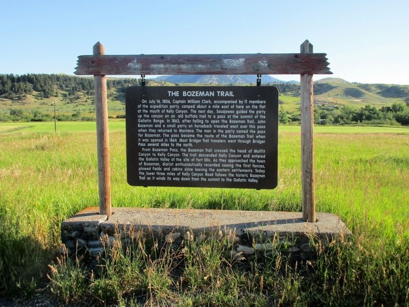
2. The Bozeman Trail Marker
the marker, as seen from the Frontage Road.
Fort Ellis marker is just to the right.
Additional keywords. Lewis & Clark Expedition
Credits. This page was last revised on September 1, 2017. It was originally submitted on September 29, 2016, by Rev. Ronald Irick of West Liberty, Ohio. This page has been viewed 1,041 times since then and 50 times this year. Photos: 1, 2. submitted on September 29, 2016, by Rev. Ronald Irick of West Liberty, Ohio. • Bill Pfingsten was the editor who published this page.
