
The Moving Dune
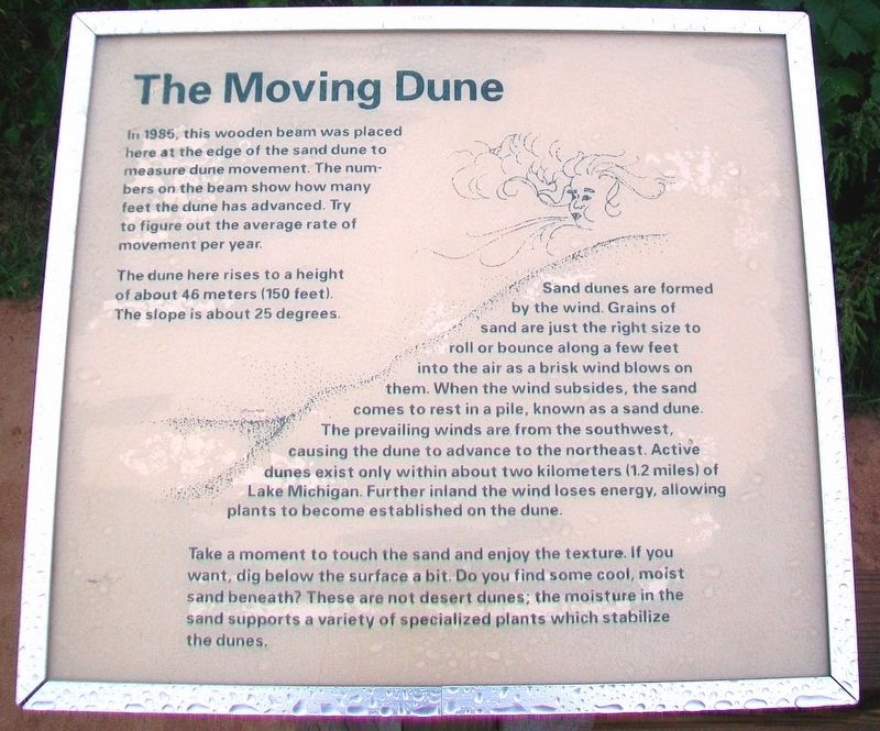
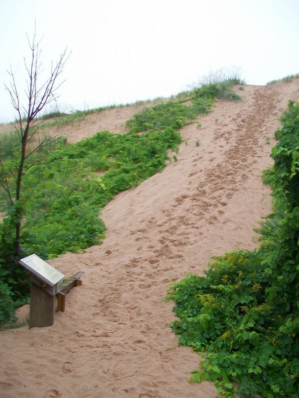
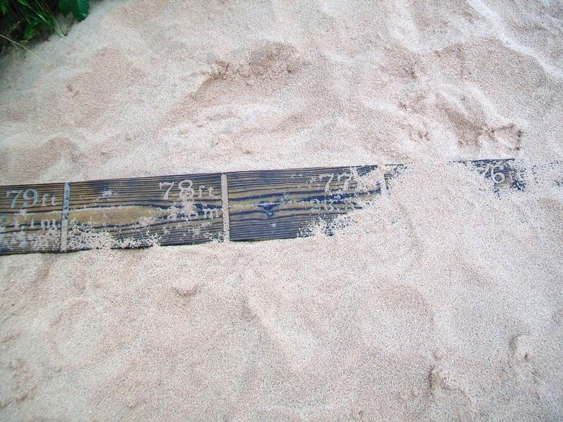
In 1985, this wooden beam was placed here at the edge of the sand dune to measure dune movement. The numbers on the beam show how many feet the dune has advanced. Try to figure out the average rate pf movement per year.
The dune here rises to a height of about 46 meters (150 feet). The slope is about 25 degrees.
Sand dunes are formed by the wind. Grains of sand are just the right size to roll or bounce along a few feet into the air as a brisk wind blows on them. When the wind subsides, the sand comes to rest in a pile, known as a sand dune. The prevailing winds are from the southwest, causing the dune to advance to the northeast. Active dunes exist only within about two kilometers (1.2 miles) of Lake Michigan. Further inland the wind loses energy, allowing plants to become established on the dune.
Take a moment to touch the sand and enjoy the texture. If you want, dig below the surface a bit. Do you find some cool, moist sand beneath? These are not desert dunes; the moisture in the sand supports a variety of specialized plants which stabilize the dunes.
Erected by National Park Service.
Topics. This historical
this page online
Location. 44° 53.003′ N, 86° 2.554′ W. Marker is in Sleeping Bear Dunes National Lakeshore, Michigan, in Leelanau County. It can be reached from Sleeping Bear Heritage Trail. Marker is in the Dune Climb Area of Sleeping Bear Dunes National Lakeshore, about 3.5 miles WSW of Glen Arbor. Touch for map. Marker is at or near this postal address: 6900 South Dune Highway (Michigan Route 109), Empire MI 49630, United States of America. Touch for directions.

Regionally, this marker is in Northern Michigan Lower Peninsula, in the Grand Traverse Bay Region, and in one of the Lake Michigan Shore counties. It is also in the American Midwest. Globally, it is in North America, on the Great Lakes, in the Western Hemisphere, in the Western World, and in the Anglosphere. Historically, it finds itself in what was once the Northwest Territory.
Other nearby markers. At least 8 other markers are within 3 miles of this marker, measured as the crow flies: Sand and Ice (about 500 feet away, measured in a direct line); Pierce Stocking
Also see . . . Sand Dunes. (Submitted on September 30, 2016, by William Fischer, Jr. of Reynoldsburg, Ohio.)
Credits. This page was last revised on December 8, 2020. It was originally submitted on September 30, 2016, by William Fischer, Jr. of Reynoldsburg, Ohio. This page has been viewed 1,128 times since then and 51 times this year. Photos: 1, 2, 3. submitted on September 30, 2016, by William Fischer, Jr. of Reynoldsburg, Ohio.
