
Near Lingle in Goshen County, Wyoming — The American West (Mountains)
Oregon Trail
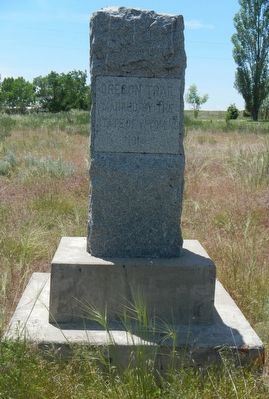
Photographed by Barry Swackhamer, June 8, 2016
1. Oregon Trail Marker
State of Wyoming
1914
Topics and series. This historical marker is listed in these topic lists: Roads & Vehicles • Settlements & Settlers. In addition, it is included in the Oregon Trail series list. A significant historical year for this entry is 1914.
Location. 42° 6.182′ N, 104° 21.133′ W. Marker is near Lingle, Wyoming, in Goshen County. It is at the intersection of State Highway 156 and Power Plant Road on State Highway 156. Touch for map. Marker is at or near this postal address: 7647 Wyoming Highway 156, Lingle WY 82223, United States of America. Touch for directions.

Regionally, this marker is in Wyoming’s Laramie Basin and in the Westward Expansion Trails Region. It is also in the American Mountain West, on the Great Plains, and specifically on the High Plains. Globally, it is in North America, the Western Hemisphere, the Western World, and the Anglosphere. Historically, it finds itself in what was once the Louisiana Purchase.
Other nearby markers. At least 8 other markers are within 9 miles of this marker, measured as the crow flies: “If I Should Die Before…” (approx. 2 miles away); Old Texas Trail (approx. 2.2 miles away); Mormon Pioneer Trail (approx. 2.4 miles away); The Grattan Fight (approx. 3.4 miles away); a different marker also named Oregon Trail (approx. 3½ miles away); To All Pioneers (approx. 3½ miles away); CPL. Travis Snow Memorial Building (approx. 9 miles away); Replica of the Statue of Liberty (approx. 9.1 miles away). Touch for a list and map of all markers in Lingle.
this page online
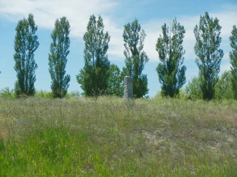
Photographed by Barry Swackhamer, June 8, 2016
2. Oregon Trail Marker
Credits. This page was last revised on January 9, 2020. It was originally submitted on October 2, 2016, by Barry Swackhamer of Brentwood, California. This page has been viewed 660 times since then and 34 times this year. Photos: 1, 2. submitted on October 2, 2016, by Barry Swackhamer of Brentwood, California.
