Near Guernsey in Platte County, Wyoming — The American West (Mountains)
Oregon Trail
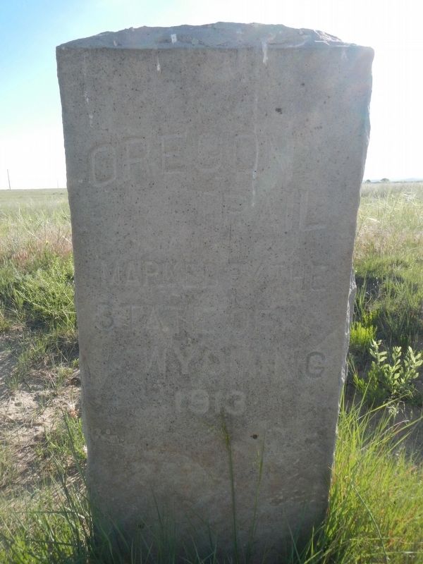
Photographed by Barry Swackhamer, June 9, 2016
1. Oregon Trail Marker
State of Wyoming
1913
Erected 1913 by State of Wyoming.
Topics and series. This historical marker is listed in these topic lists: Roads & Vehicles • Settlements & Settlers. In addition, it is included in the Oregon Trail series list.
Location. 42° 17.883′ N, 104° 50.774′ W. Marker is near Guernsey, Wyoming, in Platte County. It is on Wendover Road near Miller Road, on the right when traveling west. Touch for map. Marker is in this post office area: Guernsey WY 82214, United States of America. Touch for directions.

Regionally, this marker is in the Laramie Basin and in the Westward Expansion Trails Region. It is also in the American Mountain West, on the Great Plains, and specifically on the High Plains. Globally, it is in North America, the Western Hemisphere, the Western World, and the Anglosphere. Historically, it finds itself in what was once the Louisiana Purchase.
Other nearby markers. At least 8 other markers are within 4 miles of this marker, measured as the crow flies: A different marker also named Oregon Trail (approx.
this page online
More about this marker. This marker is about 3 1/2 mile from Highway 26.
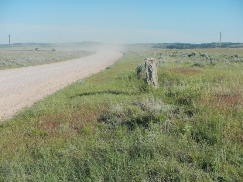
Photographed by Barry Swackhamer, June 9, 2016
2. Oregon Trail Marker
Credits. This page was last revised on October 3, 2016. It was originally submitted on October 3, 2016, by Barry Swackhamer of Brentwood, California. This page has been viewed 649 times since then and 35 times this year. Photos: 1, 2. submitted on October 3, 2016, by Barry Swackhamer of Brentwood, California.
