Fort Bliss in El Paso County, Texas — The American South (West South Central)
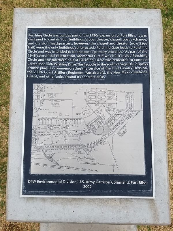
Pershing Circle
Photographed by Kevin W., April 12, 2016
1. Pershing Circle Marker
Erected 2009 by Department of Public Works Environmental Division, U.S. Army Garrison Command, Fort Bliss.
Topics. This historical marker is listed in this topic list: Roads & Vehicles. A significant historical year for this entry is 1948.
Location. 31° 48.139′ N, 106° 26.116′ W. Marker is in Fort Bliss, Texas, in El Paso County. It can be reached
this page online

Regionally, this marker is in the Trans-Pecos & Big Bend Region. It is also in the American Borderlands and in the Southwest. Globally, it is in North America, a Gulf of Mexico state, the Western Hemisphere, the Western World, and the Anglosphere. Historically, it finds itself in what was once New Spain, the Republic of Texas, and one of the Confederate States of America.
Other nearby markers. At least 8 other markers are within walking distance of this marker: The Howze House (within shouting distance of this marker); Hammett House (about 300 feet away, measured in a direct line); Depression Era Group: 1927 - 1939 (about 300 feet away); Quarters 213, Chaparral House (approx. 0.2 miles away); Hinman Hall (approx. ¼ mile away); Abrams House (approx. ¼ mile away); Polk House (approx. ¼ mile away); 1st Cavalry Division (approx. 0.3 miles away). Touch for a list and map of all markers in Fort Bliss.
Photographed by Kevin W., April 12, 2016
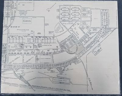
2. Close up of map on the Pershing Circle Marker
Photographed by Kevin W., April 12, 2016
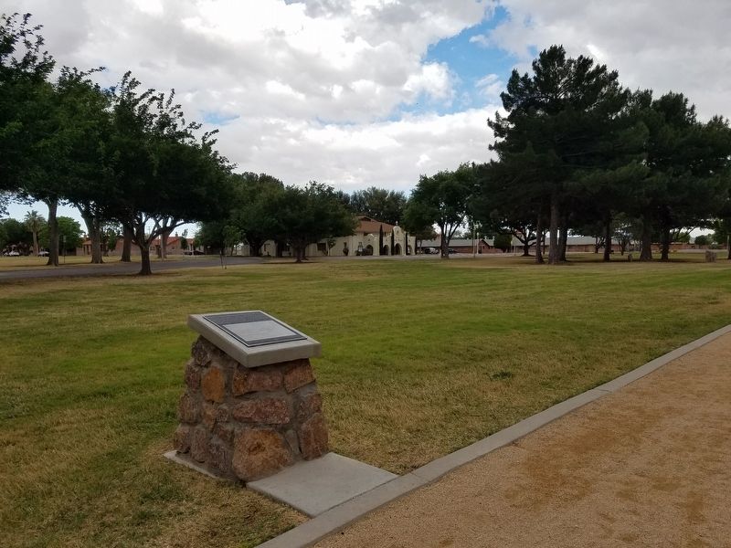
3. Pershing Circle Marker
Photographed by Kevin W., April 12, 2016
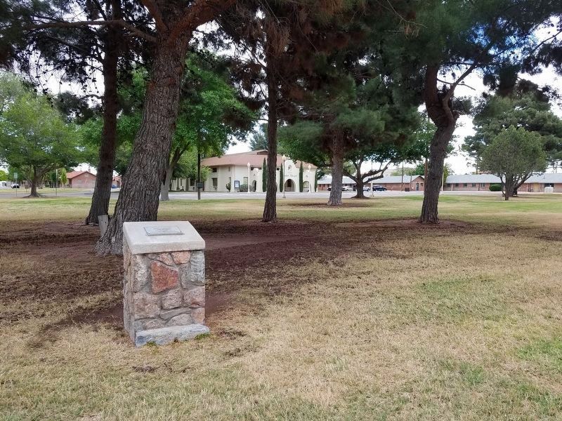
4. Nearby Omar Bradley Memorial Tree Grove
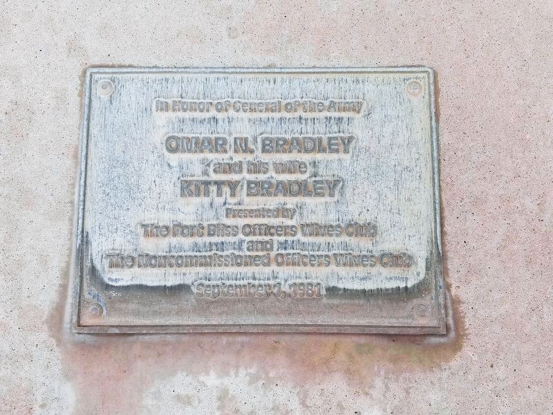
Photographed by Kevin W., April 12, 2016
5. Plaque for the nearby Omar Bradley Memorial Tree Grove
Omar N. Bradley
and his wife
Kitty Bradley
Presented by the Fort Bliss Officers Wives Club and the Noncommissioned Officers Wives Club
September 1, 1981
Credits. This page was last revised on October 4, 2016. It was originally submitted on October 3, 2016, by Kevin W. of Stafford, Virginia. This page has been viewed 711 times since then and 13 times this year. Photos: 1, 2, 3, 4, 5. submitted on October 3, 2016, by Kevin W. of Stafford, Virginia.
