Leesburg in Lee County, Georgia — The American South (South Atlantic)
Noted Indian Settlement
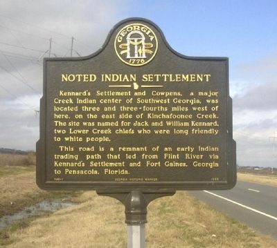
Kennard's Settlement and Cowpens, a major Creek Indian center of Southwest Georgia, was located three and three-fourths miles west of here, on the east side of Kinchafoonee Creek. The site was named for Jack and William Kennard, two Lower Creek chiefs who were long friendly to white people.
This road is a remnant of an early Indian trading path that led from Flint River via Kennard's Settlement and Fort Gaines, Georgia to Pensacola, Florida.
Erected 1993 by Georgia Historic Marker. (Marker Number 088-1.)
Topics and series. This historical marker is listed in this topic list: Native Americans. In addition, it is included in the Georgia Historical Society series list.
Location. 31° 46.003′ N, 84° 11.324′ W. Marker is in Leesburg, Georgia, in Lee County. Marker is on U.S. 19, 0.1 miles north of Pinewood Road, on the right when traveling south. The marker is 2.5 miles from the town of Leesburg. Touch for map. Marker is in this post office area: Leesburg GA 31763, United States of America. Touch for directions.
Other nearby markers. At least 8 other markers are within 13 miles of this marker, measured as the crow flies. Lee County (approx. 2.6 miles away); Chehaw (approx. 3.6 miles away); Palymra (approx. 8.9 miles away); Pursuit of Jefferson Davis (approx. 10 miles away); Cox Landing Park (approx. 11.1 miles away); Royal Air Force (approx. 11˝ miles away); Edward Vason Jones (approx. 11.8 miles away); Albany Home of Governor George D. Busbee (approx. 12.2 miles away).
Credits. This page was last revised on June 16, 2023. It was originally submitted on August 2, 2008, by David Seibert of Sandy Springs, Georgia. This page has been viewed 2,341 times since then and 40 times this year. Photo 1. submitted on August 2, 2008, by David Seibert of Sandy Springs, Georgia. • Craig Swain was the editor who published this page.
Editor’s want-list for this marker. Area photo of marker and surrounding area. • • Can you help?
