Cape Charles in Northampton County, Virginia — The American South (Mid-Atlantic)
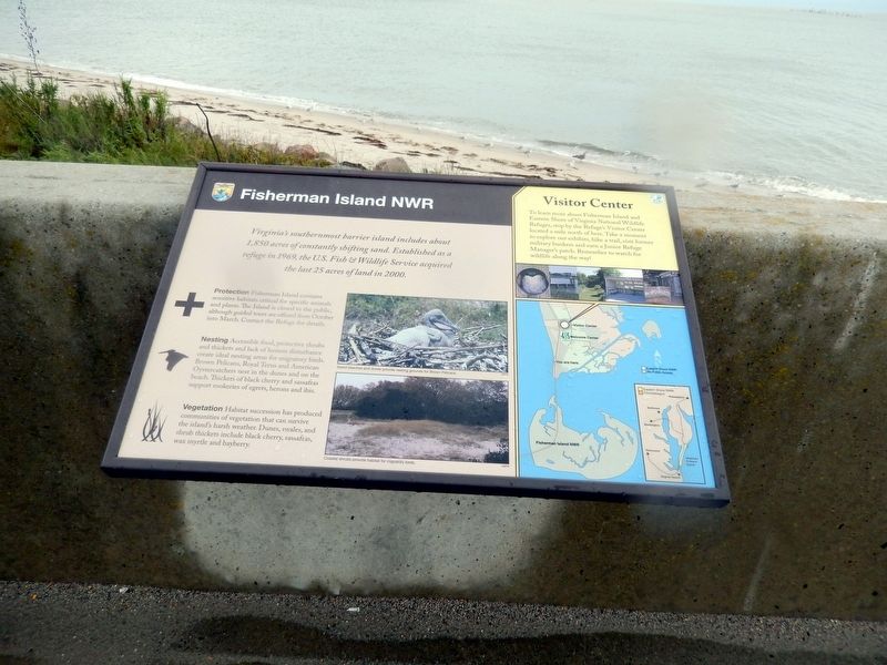
Fisherman Island NWR
Photographed by Don Morfe, September 21, 2016
1. Fisherman Island NWR Marker
Virginia’s southernmost barrier island includes about 1,850 acres of constantly shifting sand. Established as a refuge in 1969, the U.S. Fish & Wildlife Service acquired the last 25 acres of land in 2000.
Protection Fisherman Island contains sensitive habitats critical for specific animals and plants. The Island is closed to the public, although guided tours are offered from October into March. Contact the Refuge for details.
Nesting Accessible food, protective shrubs and thickets and lack of human disturbance create ideal nesting areas for migratory birds. Brown Pelicans, Royal Terns, and American Oystercatchers nest in the dunes and on the beach. Thickets of black cherry and sassafras support rookeries of egrets, herons and ibis.
Vegetation Habitat succession has produced communities of vegetation that can survive the island’s harsh weather. Dunes, swales, and shrub thickets include black cherry, sassafras, wax myrtle and bayberry.
[Sidebar:]
Visitor Center
To learn more about Fisherman Island and Eastern Shore of Virginia National Wildlife Refuges, stop by the Refuge’s Visitor Center located a mile north of here. Take a moment to explore our exhibits, hike a trail, visit former military bunkers and earn a Junior Refuge Manager’s patch. Remember to watch for wildlife along the way!
[Captions:]
Island beaches and dunes provide nesting grounds for Brown Pelicans.
Coastal shrubs provide habitat for migratory birds.
Topics.
this page online
Location. 37° 7.253′ N, 75° 58.169′ W. Marker has been reported damaged. Marker is in Cape Charles, Virginia, in Northampton County. It is on Lucius J. Kellam Jr. Bridge-Tunnel (U.S. 13) 1.3 miles south of Wise Point Lane, on the right when traveling south. The marker is located on a pull off just north of Fisherman's Island. Touch for map. Marker is in this post office area: Cape Charles VA 23310, United States of America. Touch for directions.

Regionally, this marker is on the Eastern Shore. It is also in the American South, specifically in the Upper South, on the Delmarva Peninsula, in the Tidewater, and on the Eastern Seaboard. Globally, it is in the North Atlantic Region, North America, the Western Hemisphere, the Western World, and the Anglosphere. Historically, it finds itself in what was once the territory of the Mississippian Culture, one of the original Thirteen Colonies, one of the Confederate States of America, and the Antebellum South.
Other nearby markers. At least 8 other markers are within

Photographed by Devry Becker Jones (CC0), June 5, 2026
2. Fisherman Island NWR Marker
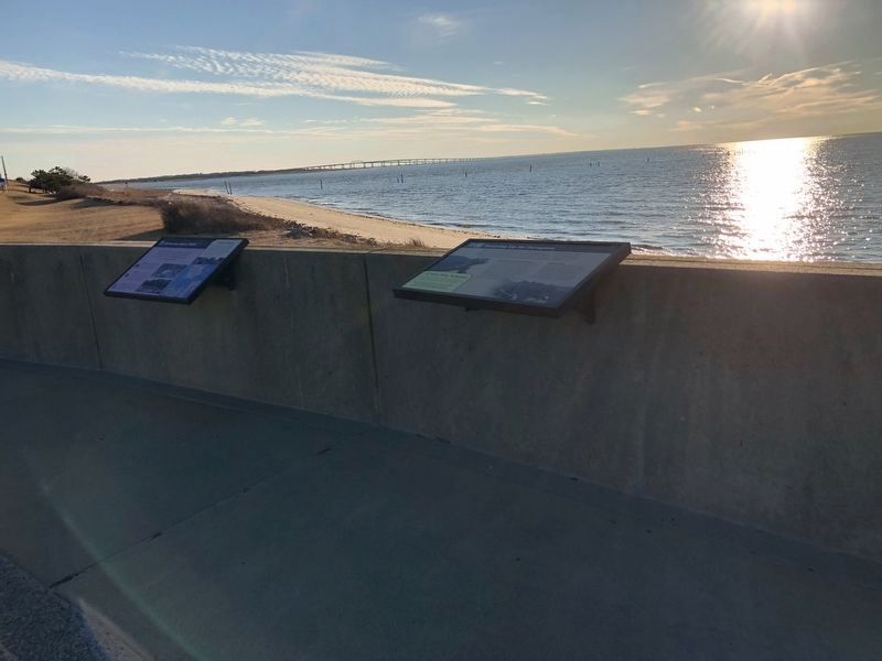
Unfortunately, the marker has weathered significantly and is no longer legible.
Photographed by Devry Becker Jones (CC0), January 17, 2021
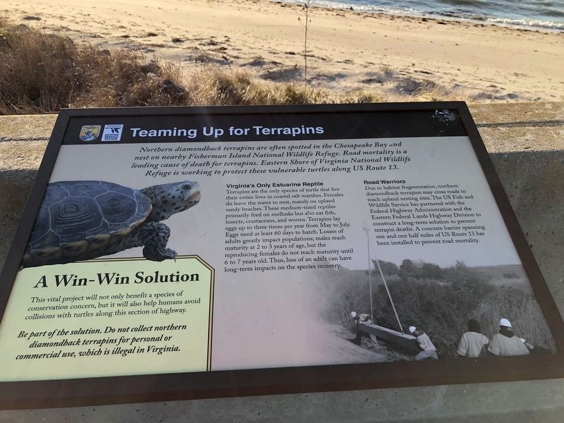
4. Additional plaque adjacent to the marker
Credits. This page was last revised on June 7, 2026. It was originally submitted on October 7, 2016, by Don Morfe of Baltimore, Maryland. This page has been viewed 645 times since then and 54 times this year. Photos: 1. submitted on October 7, 2016, by Don Morfe of Baltimore, Maryland. 2. submitted on June 7, 2026, by Devry Becker Jones of Washington, District of Columbia. 3, 4. submitted on January 20, 2021, by Devry Becker Jones of Washington, District of Columbia. • Bernard Fisher was the editor who published this page.
