Kiptopeke in Northampton County, Virginia — The American South (Mid-Atlantic)
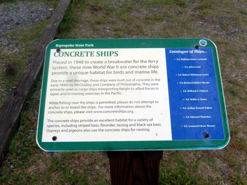
Concrete Ships
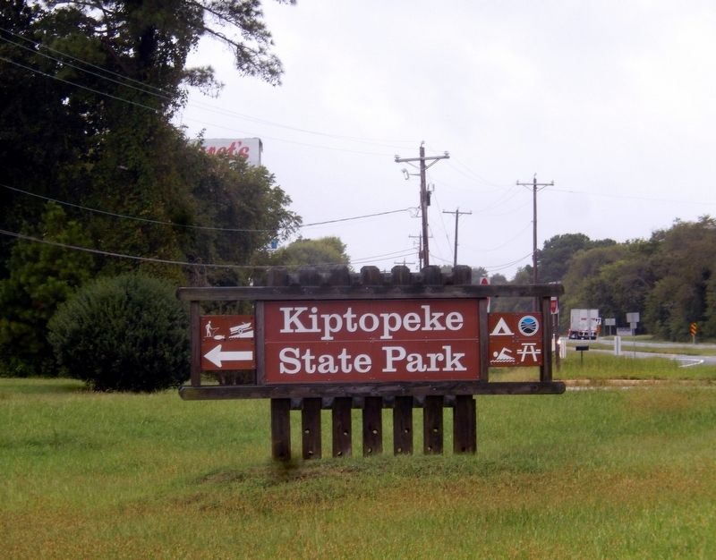
Kiptopeke State Park
Photographed by Don Morfe, September 21, 2016
1. Concrete Ships Marker
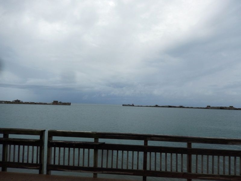
Due to a steel shortage, these ships were built out of concrete in the early 1940s by McCloskey and Company of Philadelphia. They were primarily used as cargo ships transporting freight to allied forces in Japan and in training exercises in the Pacific.
While fishing near the ships is permitted, please do not attempt to anchor to or board the ships. For more information about concrete ships, please visit www.concreteships.org.
The concrete ships provide an excellent habitat for a variety of species, including striped bass, flounder, tautog and black sea bass. Ospreys and pigeons also use the concrete ships for nesting.
Catalogue of Ships…
*S.S. William Foster Cowham
*S.S. John Grant
*S.S. Robert Whitman Lesley
*S.S. Richard Kidder Meade
*S.S. Willard A. Pollard
*S.S. Willis A. Slater
*S.S. Arthur Newell Talbot
*S.S. Edward Thatcher
*S.S. Leonard Chase Wason
Topics. This historical marker is listed in these topic lists: War, World II • Waterways & Vessels. A significant historical year for this entry is 1948.
Location. 37° 9.998′ N,
this page online

Regionally, this marker is on the Eastern Shore. It is also in the American South, specifically in the Upper South, on the Delmarva Peninsula, in the Tidewater, and on the Eastern Seaboard. Globally, it is in the North Atlantic Region, North America, the Western Hemisphere, the Western World, and the Anglosphere. Historically, it finds itself in what was once the territory of the Mississippian Culture, one of the original Thirteen Colonies, one of the Confederate States of America, and the Antebellum South.
Other nearby markers. At least 8 other markers are within 3 miles of this marker, measured as the crow flies: Join the Adventure (here, next to this marker); John Smith Explores the Chesapeake (here, next to this marker); A Good Start (here, next to this marker); The Dunes (about 700 feet away,
Photographed by Don Morfe, September 21, 2016
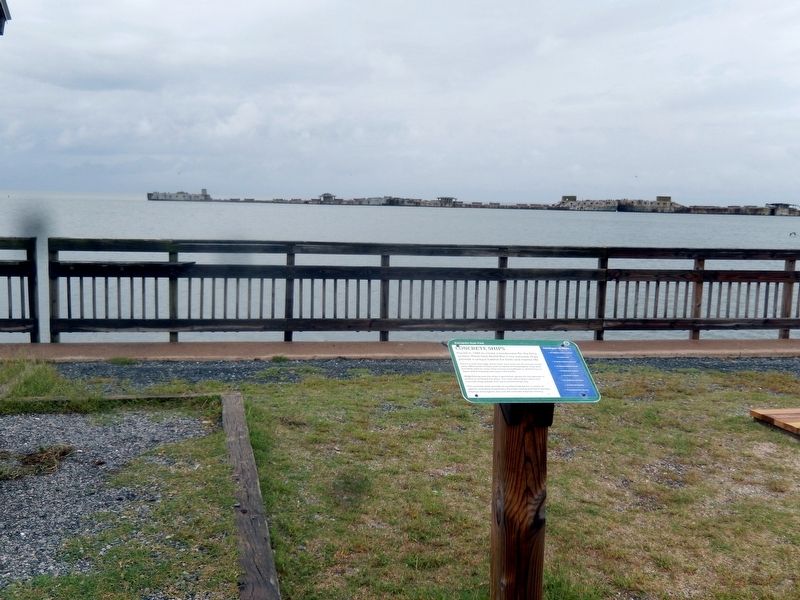
2. Concrete Ships in the background
Also see . . .
1. Kiptopeke’s Concrete Ships; A Long Journey to Obscurity. (Submitted on October 8, 2016.)
2. Kiptopeke Concrete Ships. A camera mounted on a quad-copter provides a unique perspective. (Submitted on October 8, 2016.)
Photographed by Don Morfe, September 21, 2016
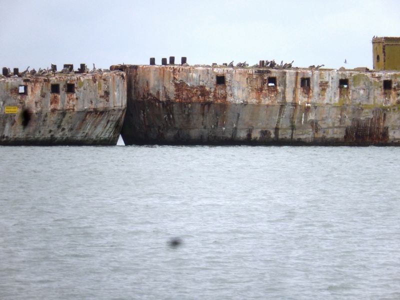
3. Concrete Ships
Photographed by Don Morfe, September 21, 2016
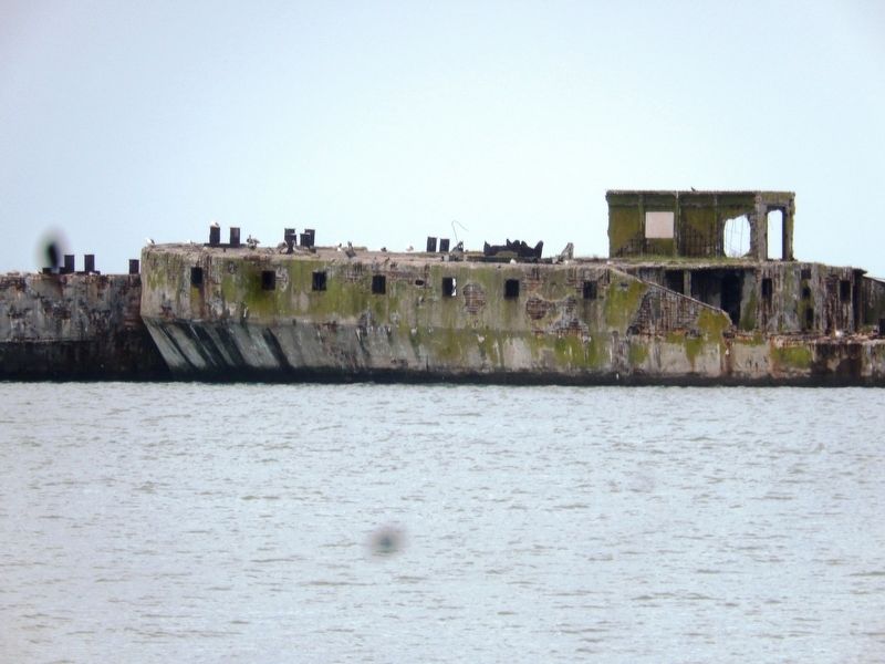
4. Concrete Ships
Photographed by Don Morfe, September 21, 2016
5. Concrete Ships
Photographed by Don Morfe, September 21, 2016
6. Sign at the entrance to Kiptopeke State Park
Credits. This page was last revised on June 7, 2026. It was originally submitted on October 8, 2016, by Don Morfe of Baltimore, Maryland. This page has been viewed 925 times since then and 55 times this year. Photos: 1, 2, 3, 4, 5, 6. submitted on October 8, 2016, by Don Morfe of Baltimore, Maryland. • Kevin W. was the editor who published this page.
