Near Cambridge in Guernsey County, Ohio — The American Midwest (Great Lakes)
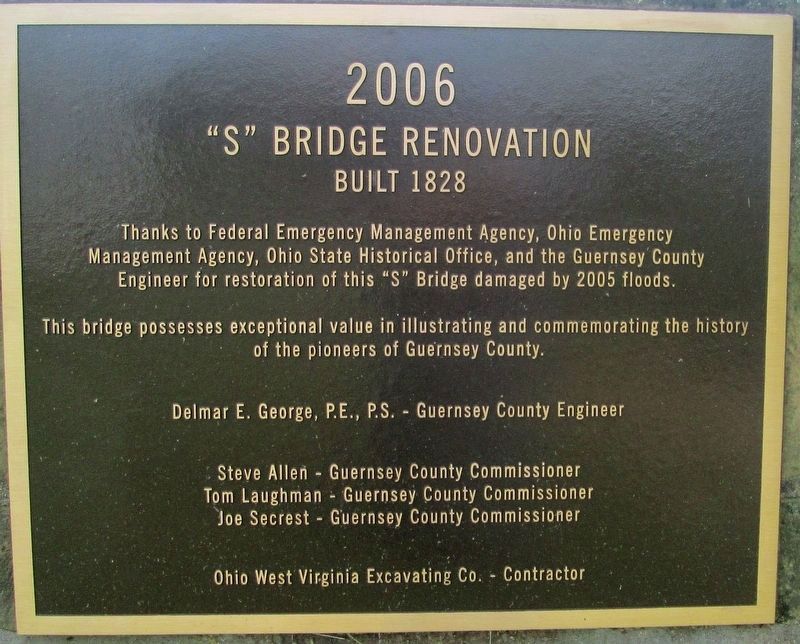
S Bridge Renovation
Built 1828
Photographed by Rev. Ronald Irick, October 7, 2016
1. S Bridge Renovation Marker
Erected 2006.
Topics. This historical marker is listed in these topic lists: Architecture • Bridges & Viaducts • Roads & Vehicles. A significant historical year for this entry is 1828.
Location. 40° 0.629′ N, 81° 39.435′ W. Marker is near Cambridge, Ohio, in Guernsey County. It is at the intersection of Old National Road (U.S. 40) and 4698 Peters Creek Road (County Route 416) on Old National Road. Marker is in small park at east end of bridge. There are multiple markers at this site. Touch for map. Marker is in this post office area: Cambridge OH 43725, United States of America. Touch for directions.

Regionally, this marker is in the American Midwest, in Appalachia, and specifically in Northern Appalachia. Globally, it is in North America, the Western Hemisphere, the
this page online
Other nearby markers. At least 8 other markers are within 4 miles of this marker, measured as the crow flies: Peters Creek S-Bridge (a few steps from this marker); Peters Creek Mile Marker (a few steps from this marker); Peter's Creek "S" Bridge (within shouting distance of this marker); Cambridge (approx. 3 miles away); Old Covered Bridge (approx. 3.4 miles away); The Tingle Tavern (approx. 3.6 miles away); a different marker also named Cambridge (approx. 3.6 miles away); The First Methodist Church (approx. 3.6 miles away). Touch for a list and map of all markers in Cambridge.
Another marker is no longer nearby. “S” Bridge (was within shouting distance of this marker but has been confirmed missing).
Additional keywords. Old National Road
Photographed by Rev. Ronald Irick, October 7, 2016
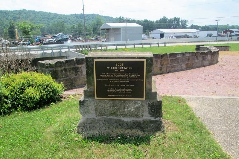
2. S Bridge Renovation Marker
Full view of marker, the "Peters Creek S Bridge" marker is adjacent, and tells the story related here.
Photographed by Rev. Ronald Irick, October 7, 2016
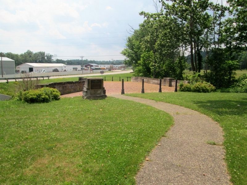
3. S Bridge Renovation Marker
Marker can be seen at a distance, with a good view of the bridge
Photographed by Rev. Ronald Irick, June 23, 2014
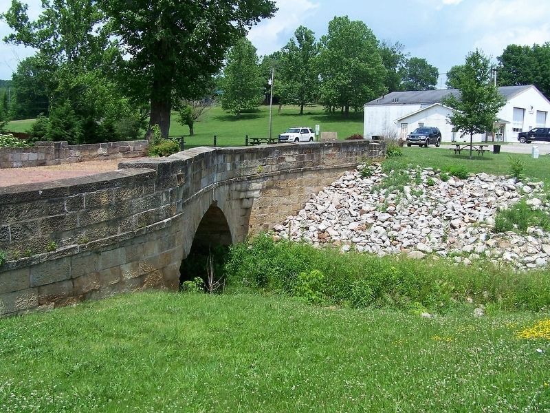
4. S Bridge Renovation Marker
Looking back from the other end of the bridge
Credits. This page was last revised on October 10, 2016. It was originally submitted on October 8, 2016, by Rev. Ronald Irick of West Liberty, Ohio. This page has been viewed 400 times since then and 18 times this year. Photos: 1, 2, 3, 4. submitted on October 8, 2016, by Rev. Ronald Irick of West Liberty, Ohio. • Bill Pfingsten was the editor who published this page.
