Kiptopeke in Northampton County, Virginia — The American South (Mid-Atlantic)
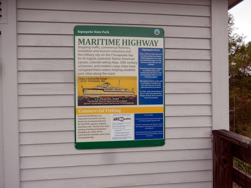
Maritime Highway
Kiptopeke State Park
Photographed by Don Morfe, September 21, 2016
1. Maritime Highway Marker
Shipping traffic, commercial fisheries, recreation and tourism industries and the military rely on the Chesapeake Bay for its logistic potential. Native American canoes, colonial sailing ships, 20th century schooners, and modern cargo ships have navigated these waters helping establish port cities along the coast.
(sidebar)
Kiptopeke Ferry From 1949 to 1964, this area was the northern terminus of the Kiptopekke Ferry that provided passenger service between Cape Charles and Norfolk.
Featuring passenger lounges, recreation rooms and restaurants, the ferry could accommodate 100 cars and 1,200 passengers.
Operating 24 hours a day and in all types of weather, the one-way trip was 26 miles and took nearly two hours.
In 1964, with construction of the 17-mile Chesapeake Bay Bridge Tunnel, ferry services discontinued.
Commercial Fishing
Commercial fishing is an important economic activity driven by increased demand for fresh fish, oysters, lobsters, and blue crab. Pound nets, haul seining, trawling and bottom dredging are some of the commercial methods used in the Chesapeake Bay.
Topics. This historical
this page online
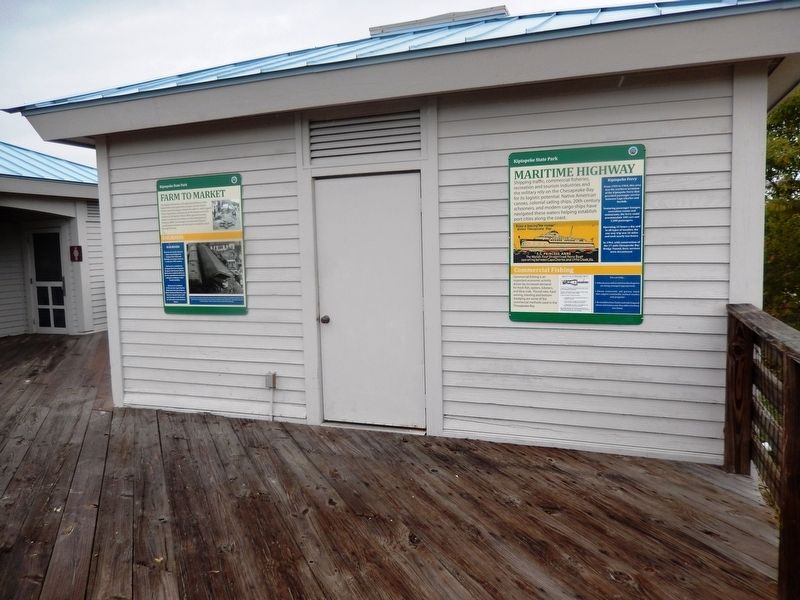
Location. 37° 10.056′ N, 75° 59.201′ W. Marker is in Kiptopeke, Virginia, in Northampton County. It is on Kiptopeke Drive (County Route 704) 0.4 miles west of Florida Avenue, on the right when traveling west. The marker is attached to the exterior wall of the restrooms. Touch for map. Marker is at or near this postal address: 3540 Kiptopeke Drive, Cape Charles VA 23310, United States of America. Touch for directions.

Regionally, this marker is on the Eastern Shore. It is also in the American South, specifically in the Upper South, on the Delmarva Peninsula, in the Tidewater, and on the Eastern Seaboard. Globally, it is in the North Atlantic Region, North America, the Western Hemisphere, the Western World, and the Anglosphere. Historically, it finds itself in what was once the territory of the Mississippian Culture, one of the original Thirteen Colonies, one of the Confederate States of America, and the Antebellum South.
Other nearby markers. At least 8 other markers are within 3 miles
Photographed by Don Morfe, September 21, 2016
2. Maritime Highway Marker
Photographed by Don Morfe, September 21, 2016
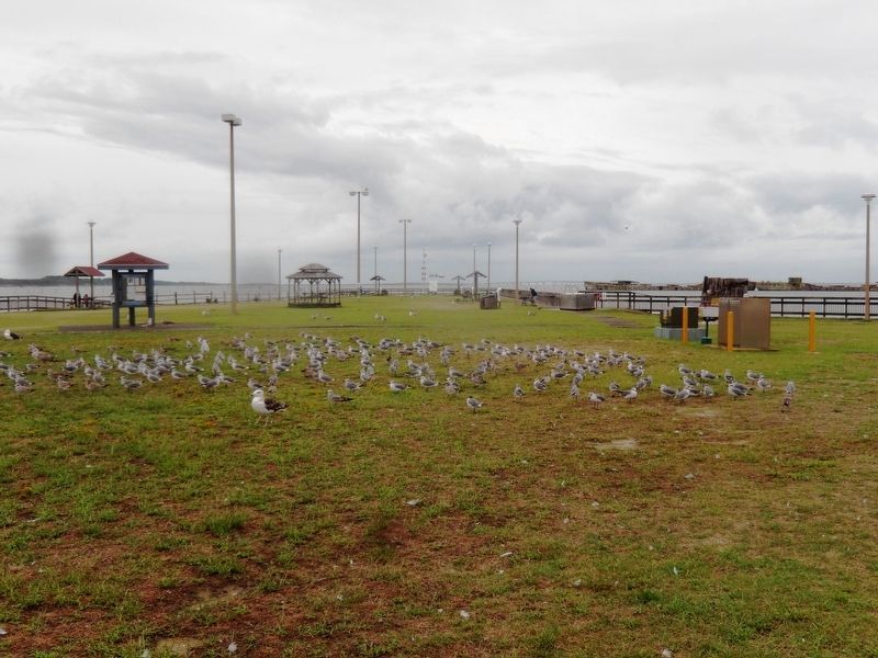
3. Fishing Pier area-Sea gull heaven
Photographed by Don Morfe, September 21, 2016
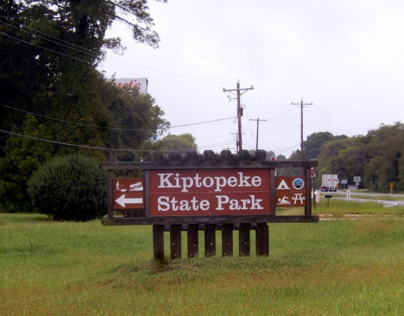
4. Kiptopeke State Park
Virginia Department of Conservation and Recreation website entry
Click for more information.
Click for more information.
Credits. This page was last revised on June 7, 2026. It was originally submitted on October 12, 2016, by Don Morfe of Baltimore, Maryland. This page has been viewed 479 times since then and 41 times this year. Photos: 1, 2, 3, 4. submitted on October 12, 2016, by Don Morfe of Baltimore, Maryland. • Bernard Fisher was the editor who published this page.
