Thurmont in Frederick County, Maryland — The American Northeast (Mid-Atlantic)
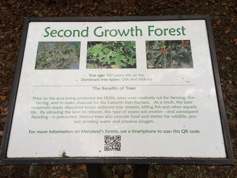
Second Growth Forest
Photographed by J. Makali Bruton, September 17, 2016
1. Second Growth Forest Marker
· Dominant tree types: Oak and hickory
The Benefits of Trees
Prior to the area being protected the 1930s, trees were routinely cut for farming, timbering
and to make charcoal for the Catoctin Iron Furnace. As a result, the bare
mountain slopes deposited excess sediment into streams, killing fish and other aquatic
life. By allowing the land to reforest, this type of excess soil erosion - and consequent flooding - is prevented. Mature trees also provide food and shelter for wildlife, protect
drinking water and produce oxygen.
For more information on Maryland's forests, use a Smartphone to scan this QR code
Topics. This historical marker is listed in these topic lists: Environment • Horticulture & Forestry • Industry & Commerce.
Location. 39° 37.836′ N, 77° 28.073′ W. Marker is in Thurmont, Maryland, in Frederick County. It can be reached from Lower Trail - Red Blaze one mile west of William Houck Drive. The marker is about 1 mile west of the northern parking lot area for Hunting Creek Lake on the Lower Trail - Red Blaze to the Cunningham
this page online

Regionally, this marker is in the Washington Metropolitan Area and in Central Maryland. It is also in the American Mid-Atlantic. Globally, it is in North America, the Western Hemisphere, the Western World, and the Anglosphere. Historically, it finds itself in what was once one of the original Thirteen Colonies and also the Antebellum South.
Other nearby markers. At least 8 other markers are within 2 miles of this marker, measured as the crow flies: Catoctin Mountain Geology (about 400 feet away, measured in a direct line); Blue Blazes Whiskey Trail (approx. 0.9 miles away); A Tradition of Conservation (approx. one mile away); A Fatal Shootout (approx. one mile away); Blue Blazes Still (approx. 1.1 miles away); Making Whiskey (approx. 1.3 miles away); Preparing the Hearth (approx. 1.6 miles away); Making Charcoal (approx. 1.6 miles away). Touch for a list and map of all markers in Thurmont.
Photographed by J. Makali Bruton, September 17, 2016
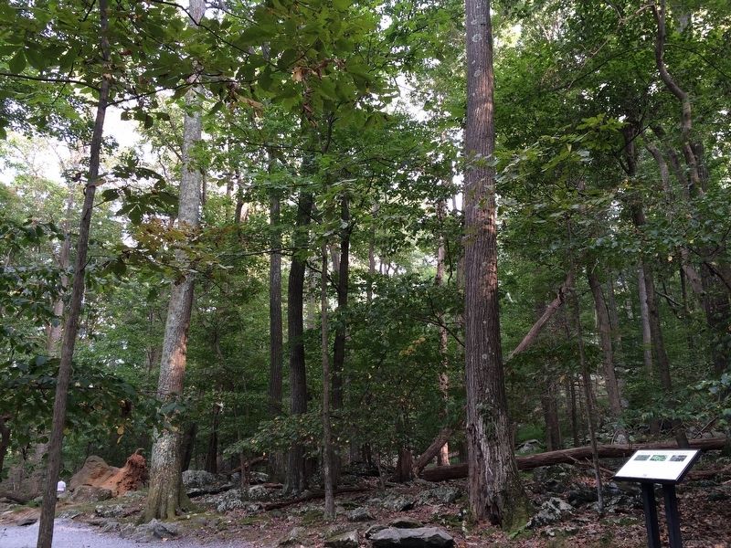
2. Second Growth Forest Marker
Photographed by J. Makali Bruton, September 17, 2016
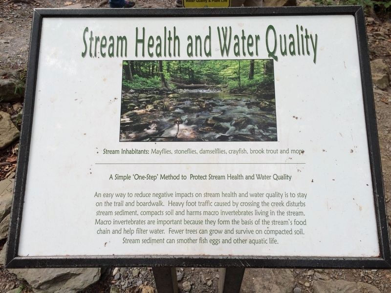
3. An additional, nearby marker
This additional marker is further down the trail, near the Cunningham Falls. It reads:
Stream Health and Water Quality
Stream Inhabitants: Mayflies, stoneflies, damselflies, crayfish, brook trout and more
A Simple ‘One-Step’ Method to Protect Stream Health and Water Quality
An easy way to reduce negative impacts on stream health and water quality is to stay on the trail and boardwalk. Heavy foot traffic caused by crossing the creek disturbs stream sediment, compacts soil and harms macro invertebrates living in the stream. Macro invertebrates are important because they form the basis of the stream’s food chain and help filter water. Fewer trees can grow and survive on compacted soil. Stream sediment can smother fish eggs and other aquatic life.
Stream Inhabitants: Mayflies, stoneflies, damselflies, crayfish, brook trout and more
A Simple ‘One-Step’ Method to Protect Stream Health and Water Quality
An easy way to reduce negative impacts on stream health and water quality is to stay on the trail and boardwalk. Heavy foot traffic caused by crossing the creek disturbs stream sediment, compacts soil and harms macro invertebrates living in the stream. Macro invertebrates are important because they form the basis of the stream’s food chain and help filter water. Fewer trees can grow and survive on compacted soil. Stream sediment can smother fish eggs and other aquatic life.
Photographed by J. Makali Bruton, September 17, 2016
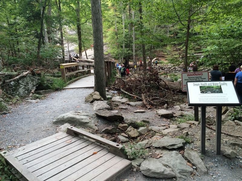
4. A wide-view photo of the additional marker, near the falls.
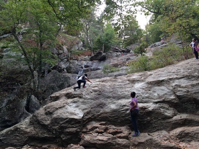
Photographed by J. Makali Bruton, September 17, 2016
5. Cunningham Falls, near to the markers.
At 78 feet this is the highest falls in Maryland. Unfortunately the water flow was very low due to the lack of rain during the summer at the time of this photo.
Credits. This page was last revised on October 14, 2016. It was originally submitted on October 14, 2016, by J. Makali Bruton of Washington, District of Columbia. This page has been viewed 443 times since then and 14 times this year. Photos: 1, 2, 3, 4, 5. submitted on October 14, 2016, by J. Makali Bruton of Washington, District of Columbia.
