Fort Lee in Prince George County, Virginia — The American South (Mid-Atlantic)
Women's Army Corps Training Center
Photographed By Bernard Fisher, October 16, 2016
1. Women's Army Corps Training Center Marker
Inscription.
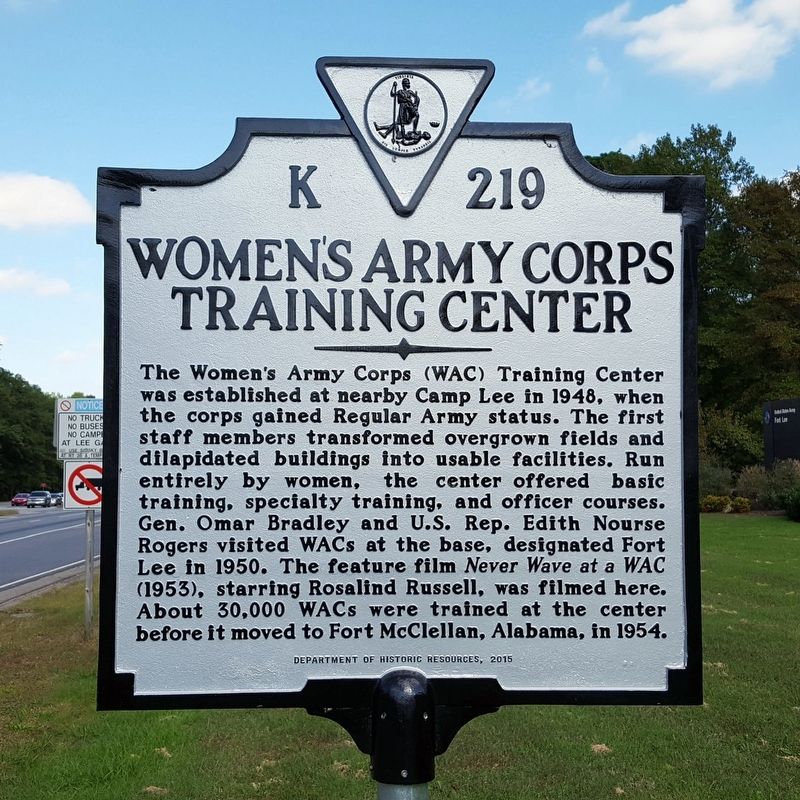
Women's Army Corps Training Center. . The Women’s Army Corps (WAC) Training Center was established at nearby Camp Lee in 1948, when the corps gained Regular Army status. The first staff members transformed overgrown fields and dilapidated buildings into usable facilities. Run entirely by women, the center offered basic training, specialty training, and officer courses. Gen. Omar Bradley and U.S. Rep. Edith Nourse Rogers visited WACs at the base, designated Fort Lee in 1950. The feature film Never Wave at a WAC (1953), starring Rosalind Russell, was filmed here. About 30,000 WACs were trained at the center before it moved to Fort McClellan, Alabama, in 1954.
The Women’s Army Corps (WAC) Training Center was established at nearby Camp Lee in 1948, when the corps gained Regular Army status. The first staff members transformed overgrown fields and dilapidated buildings into usable facilities. Run entirely by women, the center offered basic training, specialty training, and officer courses. Gen. Omar Bradley and U.S. Rep. Edith Nourse Rogers visited WACs at the base, designated Fort Lee in 1950. The feature film Never Wave at a WAC (1953), starring Rosalind Russell, was filmed here. About 30,000 WACs were trained at the center before it moved to Fort McClellan, Alabama, in 1954.
Erected 2015 by Department of Historic Resources. (Marker Number K-219.)
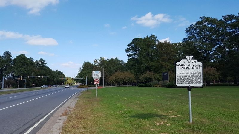
Location. 37° 14.605′ N, 77° 21.123′ W. Marker is in Fort Lee, Virginia, in Prince George County. Marker is at the intersection of Oaklawn Boulevard (Virginia Route 36) and Lee Avenue, on the right when traveling east on Oaklawn Boulevard. Touch for map. Marker is in this post office area: Fort Lee VA 23801, United States of America. Touch for directions.
Credits. This page was last revised on July 8, 2021. It was originally submitted on October 16, 2016, by Bernard Fisher of Richmond, Virginia. This page has been viewed 339 times since then and 25 times this year. Photos:1, 2. submitted on October 16, 2016, by Bernard Fisher of Richmond, Virginia.