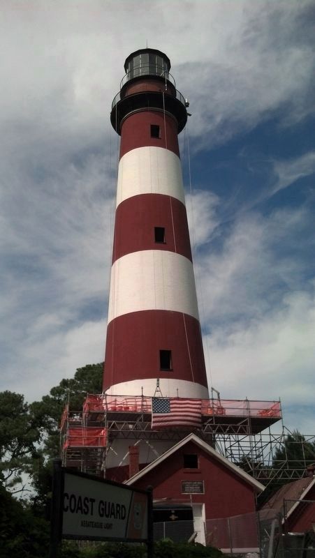
Near Chincoteague in Accomack County, Virginia — The American South (Mid-Atlantic)
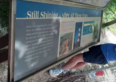
Still Shining…After All These Years
Inscription.
Listed on the National Register of Historic Places, the Assateague Island Lighthouse is a striking landmark that attracts many visitors. At the same time, it is an active aid to navigation, operated by the U.S. Coast Guard, that gives ships a visual point of reference and warns them to stay away. Assateague Lighthouse is owned and operated by the U.S. Fish & Wildlife Service and maintained by the Chincoteague Natural History Association.
The Lighthouse Grows...and Gets Its Stripes
Built in 1833, the first Assateague Lighthouse was just 45 feet high, less than a third the height of the building before you. Eleven small fish oil lamps provided all the light, so it was not completely effective as a warning to sailors.
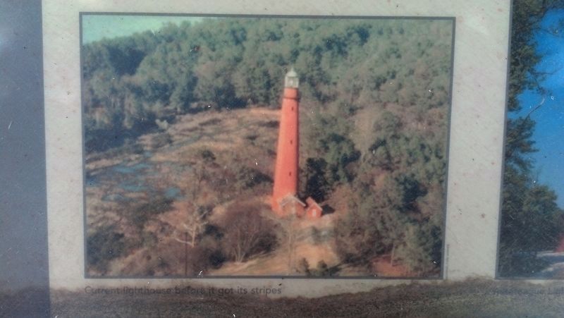
The Current lighthouse, built in 1866 and 1867, is 142 feet tall and rooted in the sand by a foundation that is 12 feet deep. The stripes were not added until 1963.
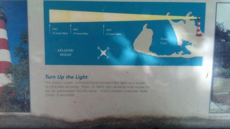
Turn Up the Light
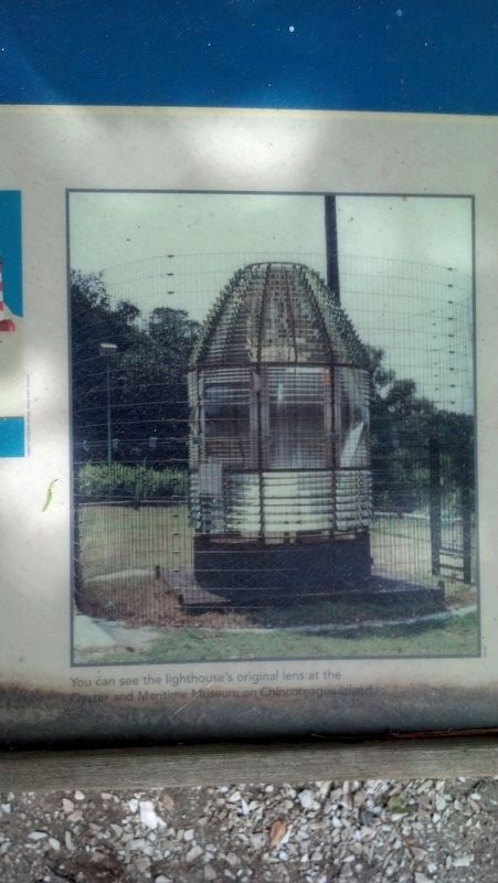
For many years, a Fresnel lens focused the light of a single, 4-wick fish oil lamp. Then, in 1963, the oil lamp was replaced by an automated electric lamp, which creates a double flash every 5 seconds.
(top panel)
The Wreck of the President's Yacht
Shipwrecks were common along this coast, and staff from several lifesaving stations on Assateague Island saved many lives over the years. The most famous occurred in 1891, when President Benjamin Harrison's official yacht, the Despatch, wrecked. Staff from a lifesaving station about a mile south of here saved the entire crew.
Topics and series. This historical marker is listed in these topic lists: Communications • Waterways & Vessels. In addition, it is included in the Former U.S. Presidents: #23 Benjamin Harrison, and the Lighthouses series lists. A significant historical year for this entry is 1833.
Location. 37° 54.669′ N, 75° 21.375′ W. Marker is near Chincoteague, Virginia, in Accomack County. Marker can be reached from Beach Access Road north of Boat Ramp Access Road, on the right when traveling south. Public access only via short Lighthouse Trail footpath. Touch for map. Marker is at or near this postal address: 8244 Lighthouse Trail, Chincoteague Island VA 23336, United States of America. Touch for directions.
Other nearby markers. At least 8 other markers are within 2 miles of this marker, measured as the crow flies. Assateague Light House (here, next to this marker); Welcome to Assateague Village (a few steps from this marker); The Wild Ponies (approx. half a mile away); Keeping the Forest Full of Life (approx. 1.1 miles away); Assateague Lighthouse (approx. 1.6 miles away); Tom’s Cove Shellfishing (approx. 1.6 miles away); Coast Guard Station (approx. 1.6 miles away); Miss Mollys Inn (approx. 1.9 miles away). Touch for a list and map of all markers in Chincoteague.
Credits. This page was last revised on January 19, 2021. It was originally submitted on October 17, 2016, by Michael C. Wilcox of Winston-Salem, North Carolina. This page has been viewed 434 times since then and 26 times this year. Photos: 1, 2, 3, 4, 5, 6, 7, 8, 9. submitted on October 17, 2016, by Michael C. Wilcox of Winston-Salem, North Carolina. • Bernard Fisher was the editor who published this page.
![Photo of <i>Despatch</i> [top panel]. Click for full size. Photo of <i>Despatch</i> [top panel] image. Click for full size.](Photos3/366/Photo366342.jpg?1017201623900AM)
![Still Shining...After All These Years Marker [top panel]. Click for full size. Still Shining...After All These Years Marker [top panel] image. Click for full size.](Photos3/366/Photo366443.jpg?1018201692400AM)
![Still Shining...After All These Years Marker [top panel]. Click for full size. Still Shining...After All These Years Marker [top panel] image. Click for full size.](Photos3/366/Photo366444.jpg?1018201692400AM)
![Still Shining...After All These Years Marker [top panel]. Click for full size. Still Shining...After All These Years Marker [top panel] image. Click for full size.](Photos3/366/Photo366445.jpg?1018201692400AM)
