Friendswood in Galveston County, Texas — The American South (West South Central)
Main Street Fig Orchards
Early 1900s
Photographed by Jim Evans, October 18, 2016
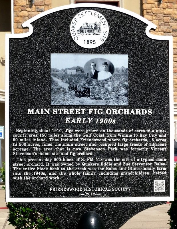
1. Main Street Fig Orchards Marker
This present day 900 block of S. FM 518 was the site of of a typical main street orchard. It was owned by Quakers Edie and Zue Stevenson Bales. The entire block back to the creek was the Bales and Glines family farm into the 1940s, and the whole family, including grandchildren helped with the orchard work.
Erected 2012 by Friendswood Historical Society.
Topics and series. This historical marker is listed in these topic lists: Agriculture • Settlements & Settlers. In addition, it is included in the Quakerism series list. A significant historical year for this entry is 1910.
Location. 29° 31.376′ N, 95° 11.581′ W. Marker is in Friendswood, Texas, in Galveston County. It is on South Friendswood Drive (County Route 518) south
this page online

Regionally, this marker is in the Houston Metropolitan Area. It is also in the American South and on the Gulf Coast. Globally, it is in North America, a Gulf of Mexico state, the Western Hemisphere, the Western World, and the Anglosphere. Historically, it finds itself in what was once New Spain, the Republic of Texas, and one of the Confederate States of America.
Other nearby markers. At least 8 other markers are within walking distance of this marker: The Fig Industry In Friendswood (approx. 0.2 miles away); Drilling For Oil (approx. 0.4 miles away); Friends Church Cemetery (approx. half a mile away); Friendswood (approx. half a mile away); Quaker Academy (approx. 0.6 miles away); Oldest Structure Remaining (approx. 0.6 miles away); Friendswood Postal Service (approx. 0.6 miles away); First Business (approx. 0.6 miles away). Touch for a list and map of all markers in Friendswood.
Photographed by U
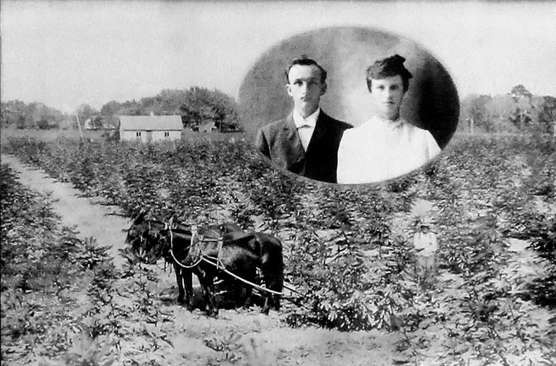
2. Copied from the Main Street Fig Orchards Marker
Photographed by Jim Evans, October 18, 2016
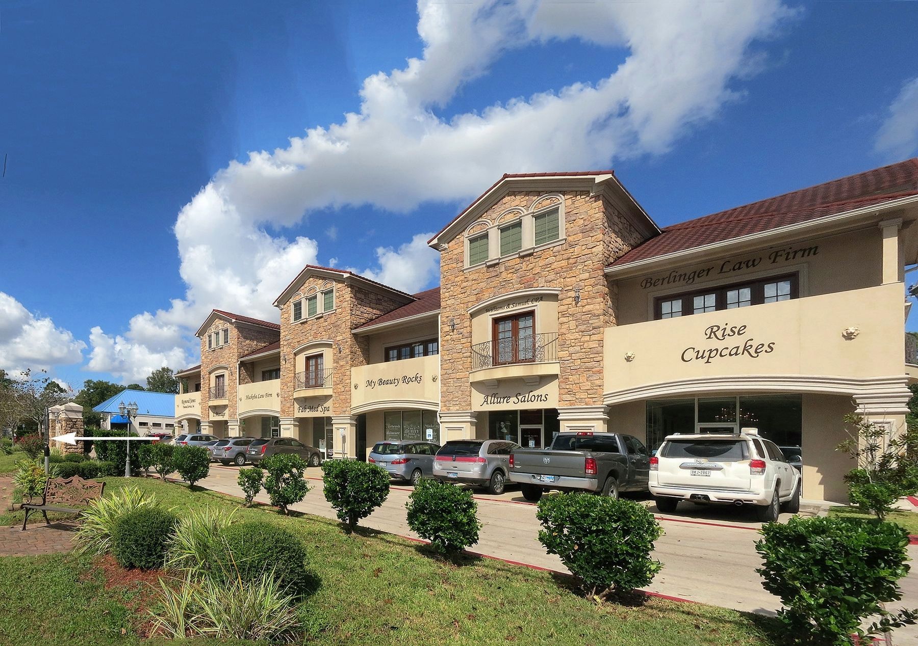
3. Main Street Fig Orchards Marker on the Left
Credits. This page was last revised on October 19, 2016. It was originally submitted on October 18, 2016, by Jim Evans of Houston, Texas. This page has been viewed 1,217 times since then and 42 times this year. Photos: 1, 2, 3. submitted on October 18, 2016, by Jim Evans of Houston, Texas. • Bernard Fisher was the editor who published this page.
