Van Buren Township near Belleville in Wayne County, Michigan — The American Midwest (Great Lakes)
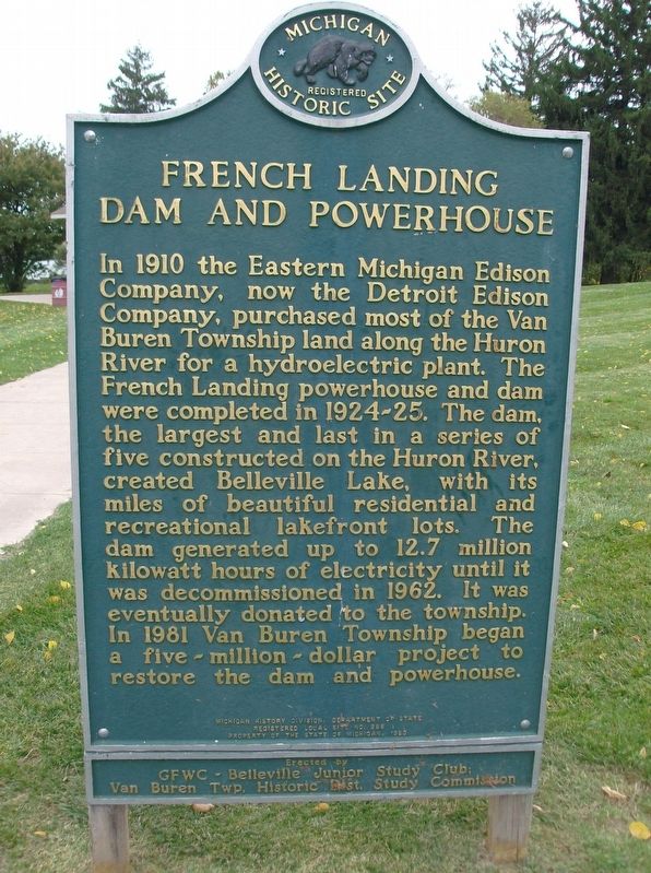
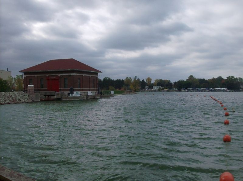
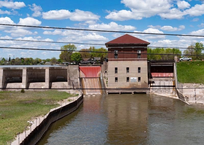
French Landing Dam and Powerhouse
Erected 1983 by Michigan History Division, Department of State; GFWC-Belleville Junior Study Club; Van Buren Twp. Historic Dist. Study Commission. (Marker Number L998.)
Topics and series. This historical marker is listed in these topic lists: Charity & Public Work • Industry & Commerce • Waterways & Vessels. In addition, it is included in the Michigan Historical Commission series list. A significant historical year for this entry is 1910.
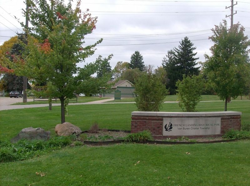
Location. 42° 12.914′ N, 83° 26.369′ W. Marker is near Belleville, Michigan, in Wayne County. It is in Van Buren Township. Marker is at the intersection of Haggerty Road and Alden Road, on the left when traveling north on Haggerty Road. Located in French Landing Historical Park. Touch for map. Marker is at or near this postal address: 12090 Haggerty Rd, Belleville MI 48111, United States of America. Touch for directions.
Other nearby markers. At least 8 other markers are within 5 miles of this marker, measured as the crow flies. Merrill-Morris House (approx. 2 miles away); Morris Homestead (approx. 2 miles away); Our Boys Who Served In The World War (approx. 2.4 miles away); Romulus Memorial Cemetery Veterans Memorial (approx. 2.4 miles away); Romulus Memorial Cemetery (approx. 2.4 miles away); Rene Robert Cavelier Sieur De La Salle (approx. 2.4 miles away); Old Van Buren Township Hall (approx. 2.7 miles away); Veterans Memorial (approx. 4.1 miles away). Touch for a list and map of all markers in Belleville.
Also see . . . French Landing Dam and Powerhouse. Wikipedia article. (Submitted on June 15, 2021, by Joel Seewald of Madison Heights, Michigan.)
Credits. This page was last revised on February 7, 2023. It was originally submitted on October 18, 2016, by Joel Seewald of Madison Heights, Michigan. This page has been viewed 608 times since then and 70 times this year. Photos: 1, 2, 3. submitted on October 18, 2016, by Joel Seewald of Madison Heights, Michigan. 4. submitted on May 13, 2021, by J.T. Lambrou of New Boston, Michigan.


