Salisbury in Litchfield County, Connecticut — The American Northeast (New England)
Bear Mountain, Connecticut
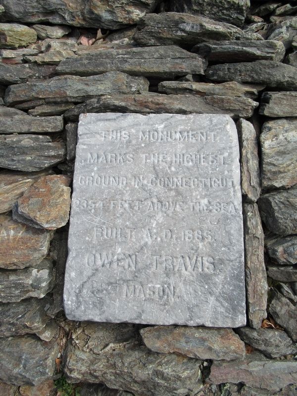
Marks The Highest
Ground In Connecticut
2354 Feet Above The Sea
Built A.D. 1885
Owen Travis
Mason
Erected 1885.
Topics. This historical marker is listed in this topic list: Natural Features. A significant historical year for this entry is 1885.
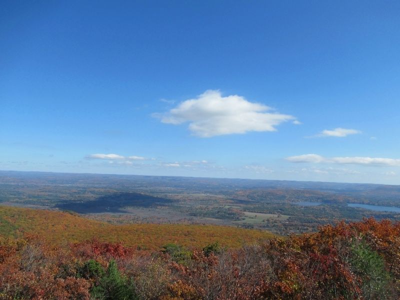
Location. 42° 2.692′ N, 73° 27.264′ W. Marker is in Salisbury, Connecticut, in Litchfield County. Marker can be reached from Under Mountain Road (Route 41) 0.2 miles north of Westmount Road, on the left when traveling north. The summit and marker is 2.6 miles to the northwest via the Undermountain Trail and Appalachian Trail. Touch for map. Marker is in this post office area: Salisbury CT 06068, United States of America. Touch for directions.
Other nearby markers. At least 8 other markers are within 5 miles of this marker, measured as the crow flies. Famous Prize Fight (approx. 3 miles away in New York); Border Marker (approx. 3˝ miles away in New York); Central New England Railroad (approx. 4.3 miles away); Salisbury Soldiers' Monument (approx. 4˝ miles away); Salisbury Veterans Monument (approx. 4.6 miles away); The Old Burying Ground (approx. 4.7 miles away); Salisbury (approx. 4.7 miles away); Salisbury Academy (approx. 4.7 miles away). Touch for a list and map of all markers in Salisbury.
Regarding Bear Mountain, Connecticut.
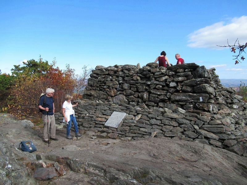
Mason Owen Travis built a stacked-stone pyramidal tower near the actual, higher summit, in 1885 and placed the stone marker. Over the years, the tower deteriorated and began to collapse. After attempts at restoration the eastern corner disintegrated in 1978 and much of the tower collapsed, leaving the plaque in the ruins.
The marker states this is the highest point in Connecticut. Bear Mountain is the highest summit in Connecticut, although it is 2,323 feet tall. The highest point in the state, however, is located on the south slope of Mount Frissell 1.3 miles to the northwest at 2,379 feet. The summit of Mount Frissell is in Massachusetts.
Also see . . .
1. Information about Bear Mountain at Berkshire Hiking.com. (Submitted on October 19, 2016, by Michael Herrick of Southbury, Connecticut.)
2. Bear Mountain (Connecticut) on Wikipedia. (Submitted on October 19, 2016, by Michael Herrick of Southbury, Connecticut.)
Credits. This page was last revised on October 20, 2016. It was originally submitted on October 19, 2016, by Michael Herrick of Southbury, Connecticut. This page has been viewed 864 times since then and 67 times this year. Photos: 1, 2, 3. submitted on October 19, 2016, by Michael Herrick of Southbury, Connecticut.


