
Terramuggus in Marlborough in Capitol Region, Connecticut — The American Northeast (New England)
Marlborough
Photographed by Michael Herrick, October 13, 2016
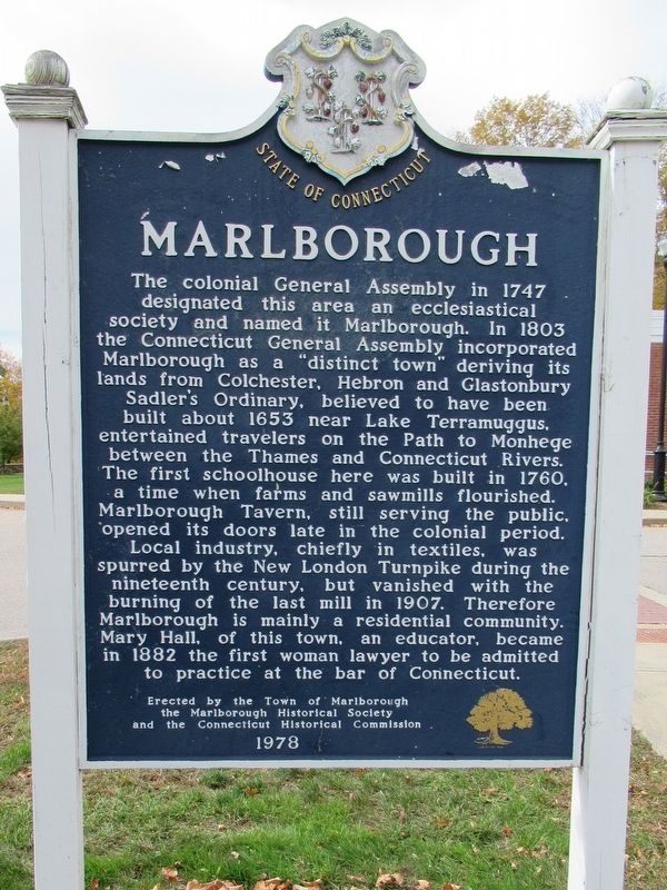
1. Marlborough Marker
The colonial General Assembly in 1747 designated this area an ecclesiastical society and named it Marlborough. In 1803 the Connecticut General Assembly incorporated Marlborough as a "distinct town” deriving its lands from Colchester, Hebron and Glastonbury Sadler’s ordinary, believed to have been built about 1653 near Lake Terramuggus entertained travelers on the Path to Monhege between the Thames and Connecticut Rivers. The first schoolhouse here was built in 1760, a time when farms and saw mills flourished. Marlborough Tavern, still serving the public, opened its doors late in the colonial period. Local industry, chiefly in textiles, was spurred by the New London Turnpike during the nineteenth century, but vanished with the burning of the last mill in 1907. Therefore Marlborough is mainly a residential community. Mary Hall, of this town, an educator, became in 1882 the first woman lawyer to be admitted to practice at the bar of Connecticut.
Erected 1978 by the Town of Marlborough, the Marlborough Historical Society, the Connecticut Historical Commission.
Topics. This historical marker is listed in these
this page online
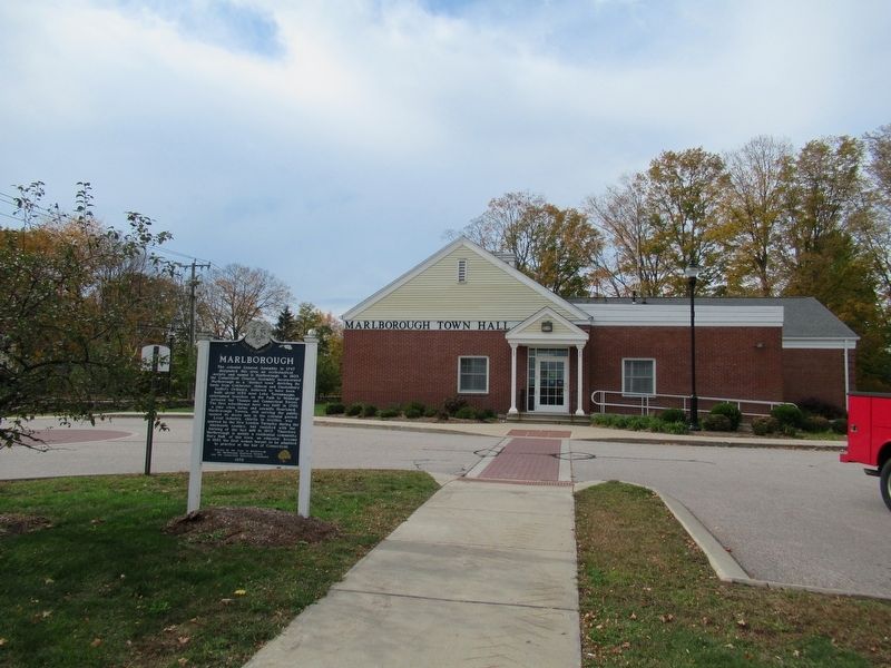
Location. 41° 37.943′ N, 72° 27.681′ W. Marker is in Marlborough in Capitol Region, Connecticut. It is in Terramuggus. It is at the intersection of North Main Street and Jones Hollow Road, on the right when traveling west on North Main Street. Located in front of Marlborough Town Hall. Touch for map. Marker is at or near this postal address: 26 North Main Street, Marlborough CT 06447, United States of America. Touch for directions.

Regionally, this marker is in the Connecticut River Valley, in Greater Hartford, and in the Knowledge Corridor. It is also in the American Northeast and in New England. Globally, it is in North America, the Western Hemisphere, the Western World, and the Anglosphere. Historically, it finds itself in what was once Hartford County and also one of the original Thirteen Colonies.
Other nearby markers. At least 8 other markers are within 6 miles of this marker, measured as the crow flies: Marlborough Veterans Memorial (within shouting distance of this marker); Marlborough Veterans Monument (within
Photographed by Michael Herrick, October 13, 2016
2. Marlborough Marker and Marlborough Town Hall
Also see . . .
1. Welcome to Marlborough, Connecticut. (Submitted on October 20, 2016, by Michael Herrick of Southbury, Connecticut.)
2. Marlborough, Connecticut on Wikipedia. (Submitted on October 20, 2016, by Michael Herrick of Southbury, Connecticut.)
Credits. This page was last revised on May 19, 2026. It was originally submitted on October 20, 2016, by Michael Herrick of Southbury, Connecticut. This page has been viewed 830 times since then and 47 times this year. Photos: 1, 2. submitted on October 20, 2016, by Michael Herrick of Southbury, Connecticut.
