Near Zanesville in Muskingum County, Ohio — The American Midwest (Great Lakes)
Headley Inn
The Historic National Road in Ohio
Photographed by Rev. Ronald Irick, October 7, 2016
1. Headley Inn Marker
close up
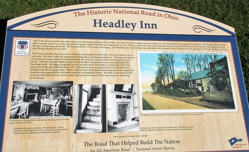
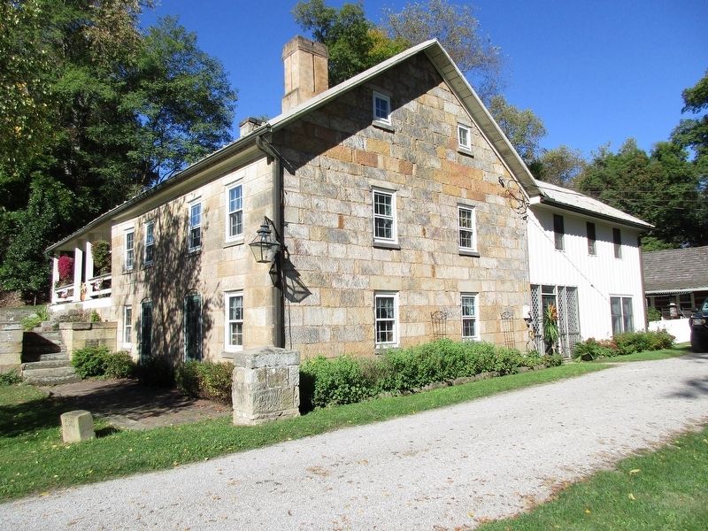
The 9-room Headley Inn was built in 1802 and enlarged in 1833 with a two-story addition on its east side. The stone walls were constructed of huge blocks of dressed sandstone. The original building consisted of a large basement kitchen built into the slope of a hill plus three rooms opening onto a porch. After the National Road was built, Uzal Headley enlarged his house to accommodate the traveling public. He began to operate the inn and secured a tavern license in 1834. The date stone
this page online
Erected 2013 by The Ohio National Road Association, Inc.
Topics and series. This historical marker is listed in these topic lists: Industry & Commerce • Roads & Vehicles • Settlements & Settlers. In addition, it is included in the The Historic National Road series list.
Location. 39° 57.191′ N, 82° 5.676′ W. Marker is near Zanesville, Ohio, in Muskingum County. It is on West Pike (U.S. 40), on the right when traveling west. Touch for map. Marker is at or near this postal address: 5345 West Pike, Zanesville OH 43701, United States of America. Touch for directions.

Regionally, this marker is in the American Midwest, in Appalachia, and specifically in Northern Appalachia. Globally,
Photographed by Rev. Ronald Irick, October 7, 2016
2. Headley Inn Marker
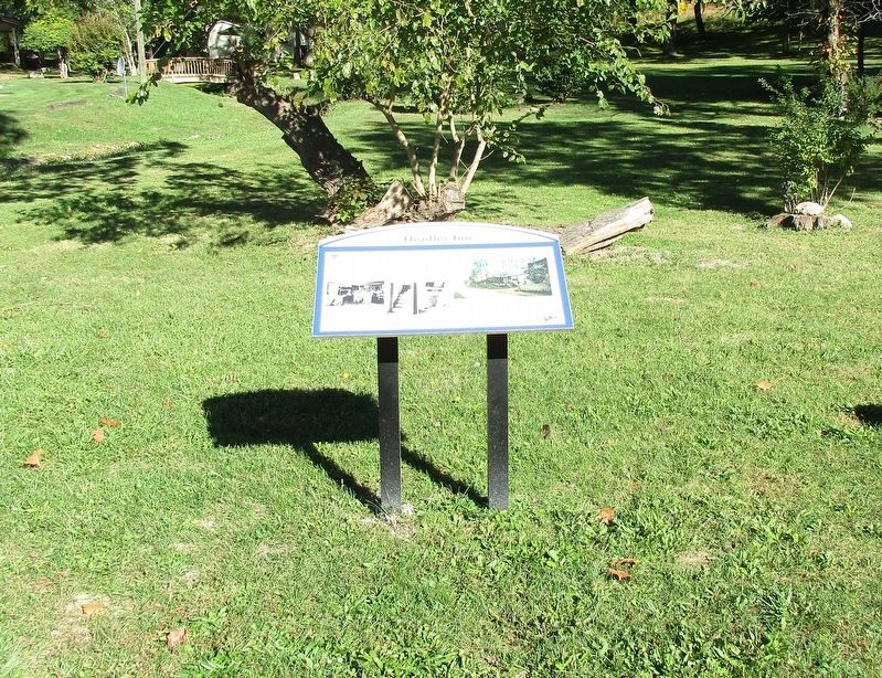
full view of marker
Other nearby markers. At least 8 other markers are within 5 miles of this marker, measured as the crow flies: Smith House & Farm (here, next to this marker); Nelson T. Gant House (approx. 3½ miles away); Y-Bridge (approx. 4.3 miles away); Zane Grey (approx. 4.4 miles away); a different marker also named Y-Bridge (approx. 4.4 miles away); a different marker also named Y-Bridge (approx. 4.4 miles away); Muskingum County Medal of Honor Memorial (approx. 4½ miles away); Muskingum County Vietnam War Memorial (approx. 4½ miles away). Touch for a list and map of all markers in Zanesville.
Other markers no longer nearby. Nelson T. Gant House (was approx. 3½ miles away but has been confirmed missing); a different marker also named Y-Bridge (was approx. 4.3 miles away but has been confirmed missing).
Additional keywords. Old National Road
Photographed by Rev. Ronald Irick, October 7, 2016
3. Headley Inn Marker
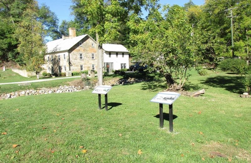
marker from a distance, second marker, the inn, and mile marker all visible
Photographed by Rev. Ronald Irick, October 7, 2016
4. Headley Inn Marker
the Inn
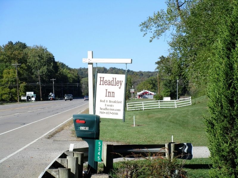
Photographed by Rev. Ronald Irick, October 7, 2016
5. Headley Inn Marker
the sign in front of the Inn
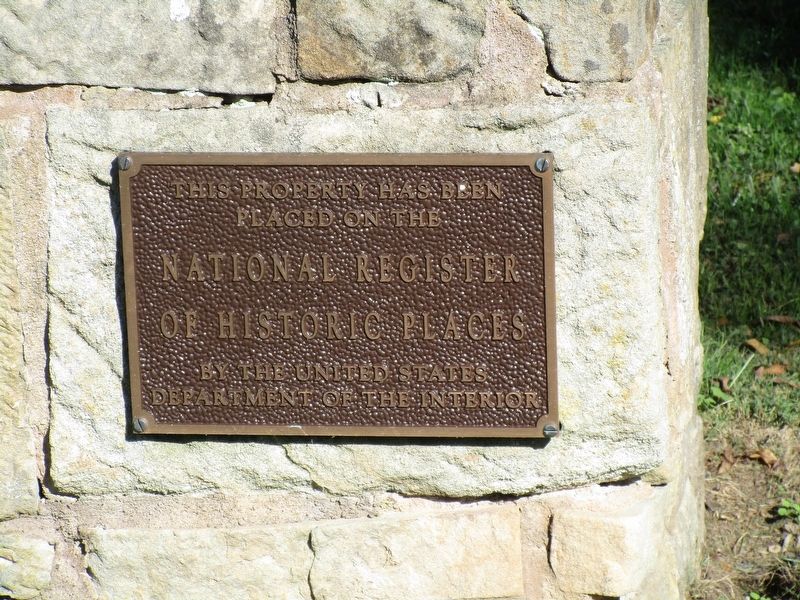
Photographed by Rev. Ronald Irick, October 7, 2016
6. Headley Inn Marker
the National Registry plaque, on a stone pillar by the driveway
Credits. This page was last revised on October 22, 2016. It was originally submitted on October 20, 2016, by Rev. Ronald Irick of West Liberty, Ohio. This page has been viewed 964 times since then and 50 times this year. Photos: 1, 2, 3, 4, 5, 6. submitted on October 20, 2016, by Rev. Ronald Irick of West Liberty, Ohio. • Bill Pfingsten was the editor who published this page.
