East Ellijay in Gilmer County, Georgia — The American South (South Atlantic)
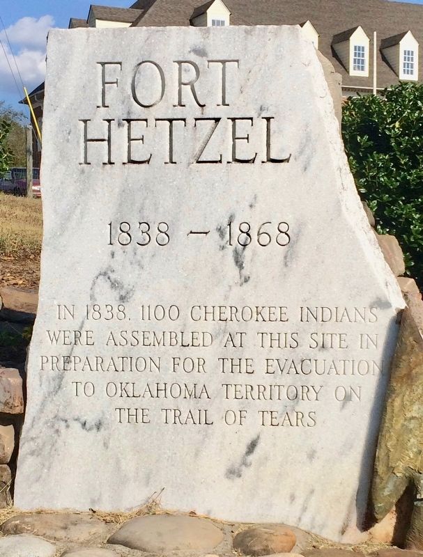
Fort Hetzel
1838 — 1868
were assembled at this site in
preparation for the evacuation
to Oklahoma Territory on
The Trail of Tears
Topics and series. This historical marker is listed in these topic lists: Forts and Castles • Native Americans • Notable Events. In addition, it is included in the Trail of Tears series list. A significant historical year for this entry is 1838.
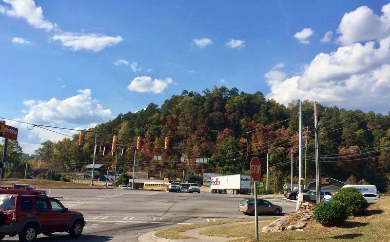
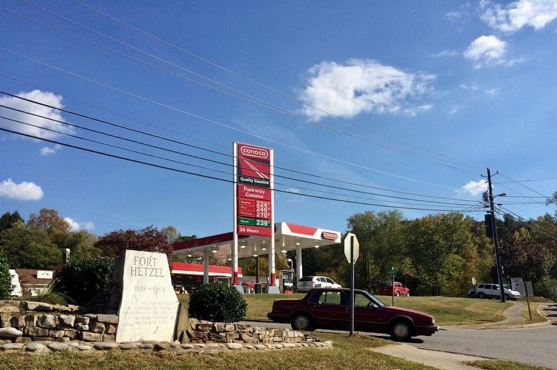
Location. 34° 41.098′ N, 84° 28.387′ W. Marker is in East Ellijay, Georgia, in Gilmer County. Marker is at the intersection of Georgia Route 515 and 1st Avenue, on the right when traveling north on State Route 515. Touch for map. Marker is at or near this postal address: 15 Oak Street, Ellijay GA 30540, United States of America. Touch for directions.
Other nearby markers. At least 8 other markers are within 8 miles of this marker, measured as the crow flies. Gilmer County War Memorial (approx. 0.9 miles away); Revolutionary War Patriots (approx. 0.9 miles away); Gilmer County (approx. 0.9 miles away); David Bailey Freeman - The Youngest Confederate Soldier (approx. 0.9 miles away); Home of Chief Whitepath (approx. 4.8 miles away); Cartecay Methodist Church (approx. 5˝ miles away); Oakland Academy (approx. 6 miles away); Ebenezer Baptist Church (approx. 8 miles away).
Also see . . .
1. Fort Hetzel. Fort Wiki website entry (Submitted on October 20, 2016, by Mark Hilton of Montgomery, Alabama.)
2. Trail of Tears National Historic Trail. National Park Service website entry (Submitted on August 29, 2021, by Larry Gertner of New York, New York.)

Photographed By Mark Hilton, October 20, 2016
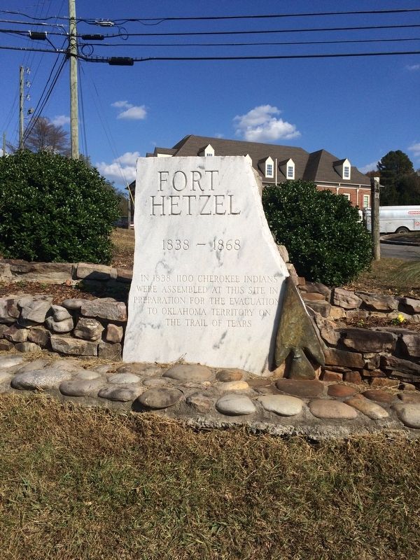
3. View of marker near intersection of GA Highway 515 (U.S. -76) & 1st Avenue.
The dark stone fixed to the back of marker (just to right of stop sign) is the old Fort Hetzel marker. That stone monument was once located on Yukon Road at GA 515, but was moved in 1984 to First Street after a Walmart was built.
Credits. This page was last revised on August 29, 2021. It was originally submitted on October 20, 2016, by Mark Hilton of Montgomery, Alabama. This page has been viewed 1,287 times since then and 149 times this year. Photos: 1, 2, 3, 4. submitted on October 20, 2016, by Mark Hilton of Montgomery, Alabama.


