Near Ellijay in Gilmer County, Georgia — The American South (South Atlantic)
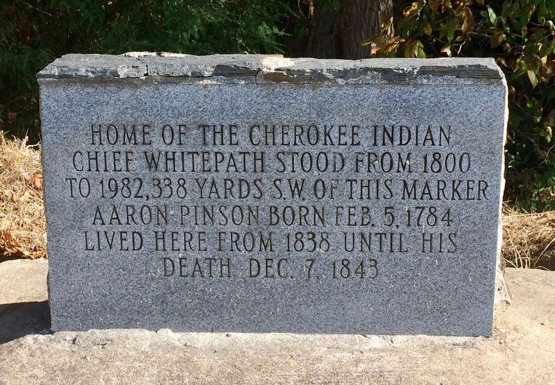
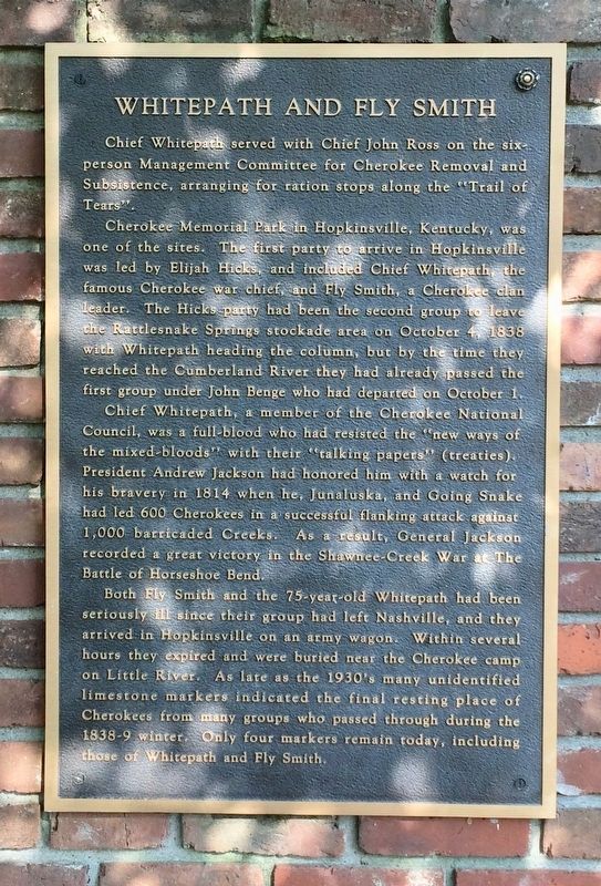
Home of Chief Whitepath
Topics and series. This historical marker is listed in these topic lists: Native Americans • Notable Places. In addition, it is included in the Trail of Tears series list. A significant historical date for this entry is February 5, 1784.
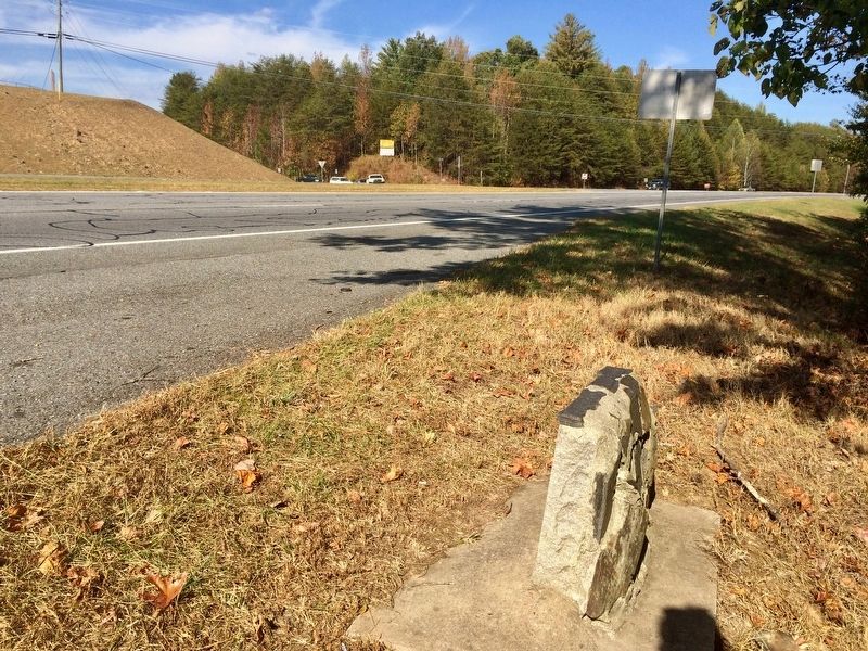
Location. 34° 44.397′ N, 84° 25.235′ W. Marker is near Ellijay, Georgia, in Gilmer County. Marker is at the intersection of Georgia Route 515 and Whitepath Road, on the right when traveling north on State Route 515. There is a small pull off at the marker, heading north on GA-515 just before Whitepath Road. Touch for map. Marker is in this post office area: Ellijay GA 30536, United States of America. Touch for directions.
Other nearby markers. At least 8 other markers are within 10 miles of this marker, measured as the crow flies. Gilmer County War Memorial (approx. 4.7 miles away); Gilmer County (approx. 4.7 miles away); David Bailey Freeman - The Youngest Confederate Soldier (approx. 4.7 miles away); Revolutionary War Patriots (approx. 4.7 miles away); Fort Hetzel (approx. 4.8 miles away); Cartecay Methodist Church (approx. 6.8 miles away); Oakland Academy (approx. 7˝ miles away); Ebenezer Baptist Church (approx. 9.3 miles away). Touch for a list and map of all markers in Ellijay.
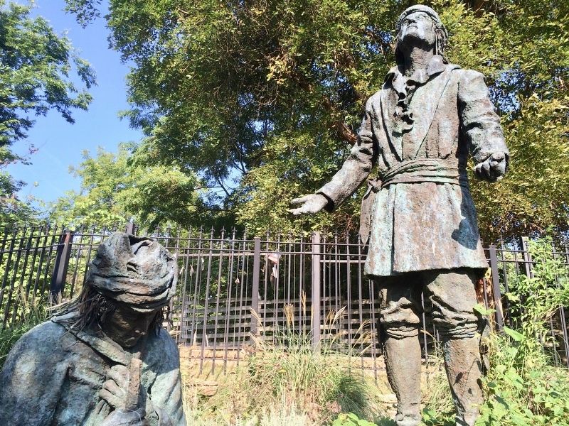
Regarding Home of Chief Whitepath. The cabin was moved, in 1995, to the Northeast Georgia History Center at Brenau University in Gainesville, Georgia. It was relocated under the direction of Counte Cooley, a descendent of White Path.
Related markers. Click here for a list of markers that are related to this marker.
Credits. This page was last revised on August 21, 2020. It was originally submitted on October 21, 2016, by Mark Hilton of Montgomery, Alabama. This page has been viewed 1,138 times since then and 101 times this year. Photos: 1, 2, 3, 4, 5. submitted on October 21, 2016, by Mark Hilton of Montgomery, Alabama.
