Near Williamsburg in James City County, Virginia — The American South (Mid-Atlantic)
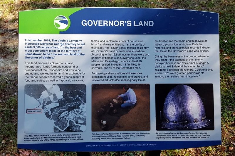
Governor's Land
This land, known as Governor's Land, incorporated “lands formerly conquer’d or purchased of the Paspeheis” and was to be settled and worked by tenants. In exchange for their labor, tenants received a year’s supply of food and cattle, as well as “apparel, weapons, tooles, and implements both of house and labor;” and were entitled to half the profits of their labor. After seven years, tenants could stay at Governor’s Land or seek work elsewhere. According to the 1624/5 muster, there were two primary settlements on Governor’s Land, the Maine and Paspahegh, where at least 78 people resided, including 13 families, 18 servants, and 10 of the Governor’s men.
Archaeological excavations at these sites identified houses, refuse pits, and graves, and recovered artifacts documenting daily life on the frontier and the boom and bust cycle of tobacco production in Virginia. Both the historical and archaeological records indicate that life on the Governor’s Land was difficult.
Citing “the barreness of the ground whereon they plant,” “the badness of their utterly decayed houses” and “their small strength & ability to hold & defend the same place,” residents petitioned the General Court to leave, and in 1625 were granted permission “to remove themselves from that place.”
(captions)
This 1937aerial shows the portion of the original Governor’s Land tract where the Maine and Paspahegh Settlements were located, and the site of the 1970s archaeological investigations.
This large refuse pit excavated at the Maine (44JC0041) contained discarded household items, food remains, arms, and armor, including a sword hilt and cabasset helmet.
In 1622, colonists were sent arms and armor they deemed “altogether unfit, and of no use for modern service,” perhaps explaining why a helmet like this was found in the refuse pit.
Erected by Commonwealth of Virginia, Virginia Capital Trail Foundation.
Topics. This historical marker is listed in these topic lists: Colonial Era • Settlements & Settlers. A significant historical month for this entry is November 1618.
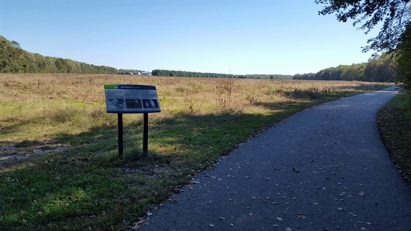
Location. 37° 14.712′ N, 76° 47.432′ W. Marker is near Williamsburg, Virginia, in James City County. Marker can be reached from Greensprings Road (Virginia Route 614) 1.4 miles north of Jamestown Road (Virginia Route 31), on the right when traveling north. Located along the Virginia Capital Trail. Touch for map. Marker is in this post office area: Williamsburg VA 23185, United States of America. Touch for directions.
Other nearby markers. At least 8 other markers are within walking distance of this marker. Bacon's Rebellion (about 300 feet away, measured in a direct line); a different marker also named Governor’s Land (approx. ¾ mile away); Green Spring Road (approx. ¾ mile away); Church on the Main (approx. ¾ mile away); Battle Of Green Spring (approx. ¾ mile away); Sir William Berkeley (approx. ¾ mile away); Battle of Green Spring (approx. 0.8 miles away); Battle of Green Spring Memorial (approx. one mile away). Touch for a list and map of all markers in Williamsburg.
Credits. This page was last revised on October 23, 2016. It was originally submitted on October 23, 2016, by Bernard Fisher of Richmond, Virginia. This page has been viewed 410 times since then and 20 times this year. Photos: 1, 2. submitted on October 23, 2016, by Bernard Fisher of Richmond, Virginia.

