Near Fort Oglethorpe in Catoosa County, Georgia — The American South (South Atlantic)
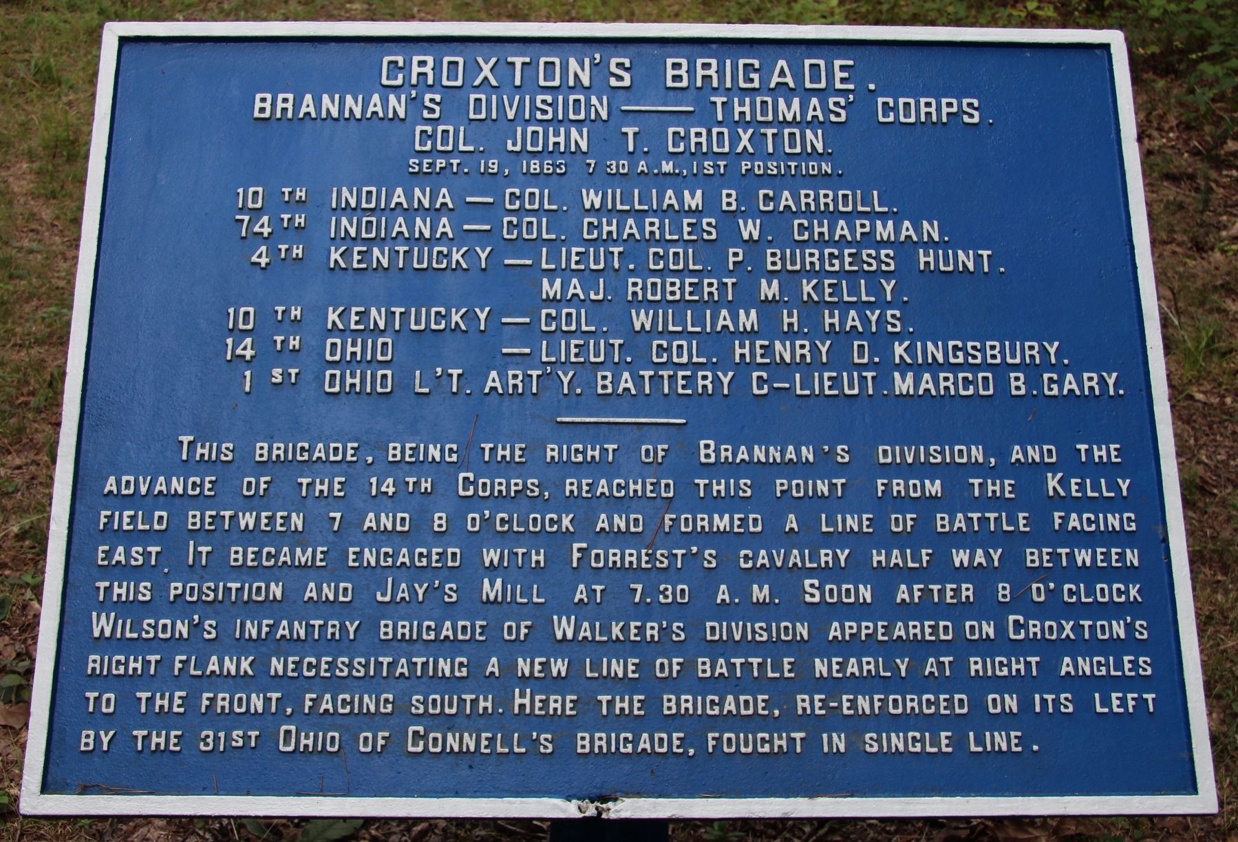
Croxton's Brigade
Brannan's Division
— Thomas' Corps. —
Brannan's Division — Thomas' Corps.
Colonel John T. Croxton
Sept. 19, 1863, 7:30 A.M., 1st Position.
10th Indiana - Colonel William B. Carroll
74th Indiana - Colonel Charles W. Chapman.
4th Kentucky - Lieutenant Colonel P. Burgess Hunt.
4th Kentucky - Major Robert M. Kelley
10th Kentucky - Colonel William H. Hays.
14th Ohio - Lieutenant Colonel Henry D. Kingsbury.
1st Ohio Light Artillery, Battery C - Lieutenant Marco B. Gary.
————
This Brigade, being the right of Brannan's Division, and the advance of the 14th Corps, reached this point from the Kelly field between 7 and 8 o'clock and formed a line of battle facing east. It became engaged with Forrest's Cavalry half way between this position and Jay's Mill at 7:30 a.m. Soon after 8 o'clock Wilson's Infantry Brigade of Walker's Division appeared on Croxton's right flank necessitating a new line of battle nearly at right angles to the front, facing south. Here the Brigade, re-enforced on its left by the 31st Ohio of Connell's Brigade, fought in single line.
Erected 1890 by the Chickamauga and Chattanooga National Military Park Commission. (Marker Number MT-566.)
Topics. This historical marker is listed in this topic list: War, US Civil. A significant historical date for this entry is September 19, 1863.
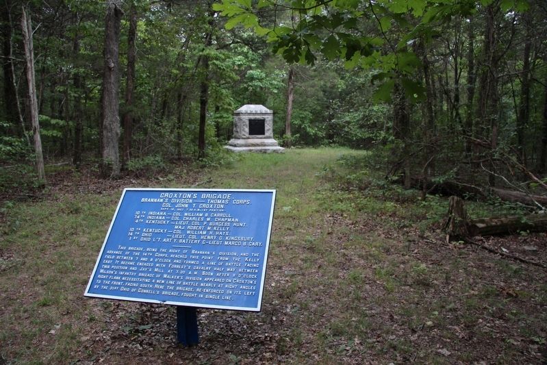
Location. 34° 55.713′ N, 85° 14.198′ W. Marker is near Fort Oglethorpe, Georgia, in Catoosa County. Marker is on Brotherton Road east of Alexander Bridge Road, on the left when traveling east. This tablet is located within the Chickamauga Battlefield, in woods north of Brotherton Road, just a short distance off of a park horse trail. Touch for map. Marker is in this post office area: Fort Oglethorpe GA 30742, United States of America. Touch for directions.
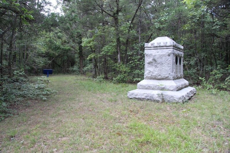
Other nearby markers. At least 8 other markers are within walking distance of this marker. 10th Indiana Infantry (a few steps from this marker); 14th Ohio Infantry (within shouting distance of this marker); 74th Indiana Infantry (within shouting distance of this marker); Warren Mississippi Light Artillery (about 500 feet away, measured in a direct line); Liddell's Brigade (about 600 feet away); 31st Ohio Infantry (about 700 feet away); 30th Georgia Infantry (about 700 feet away); 1st Battalion Georgia Sharpshooters (about 700 feet away). Touch for a list and map of all markers in Fort Oglethorpe.
More about this marker. I used the "Chickamauga Battlefield" map, that I purchased at the Chickamauga and Chattanooga National Military Park, Visitor Center, to determine both the marker number for this tablet and the tablet's
location in relation to the rest of the park's monuments, markers, and tablets. According to the map it provides the, "numerical listing of all monuments, markers, and tablets on the Chickamauga Battlefield (using the Chick-Chatt NMP Monument Numbering System).”
Credits. This page was last revised on July 25, 2018. It was originally submitted on October 24, 2016, by Dale K. Benington of Toledo, Ohio. This page has been viewed 345 times since then and 15 times this year. Photos: 1, 2, 3. submitted on October 24, 2016, by Dale K. Benington of Toledo, Ohio.


