Millersville in Anne Arundel County, Maryland — The American Northeast (Mid-Atlantic)
Tobacco Barn
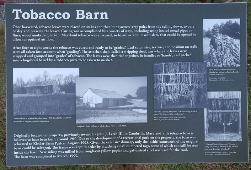
After four to eight weeks the tobacco was cured and ready to be 'graded'. Leaf color, size, texture, and position on stalk were all taken into 'grades' of tobacco. The leaves were then tied together, in bundles or 'hands', and packed into hogshead barrel by a tobacco prize to be taken to market.
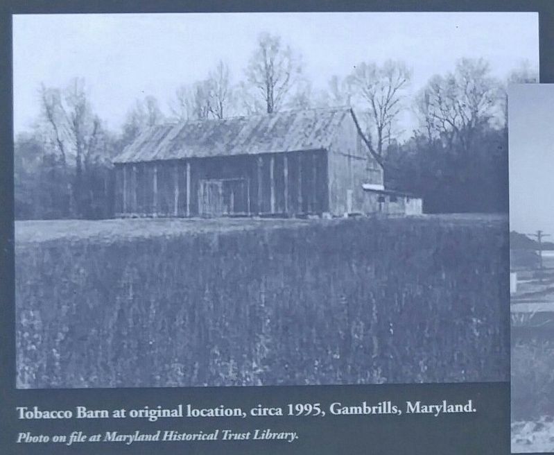
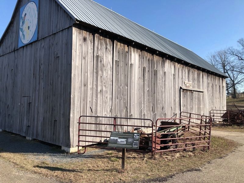
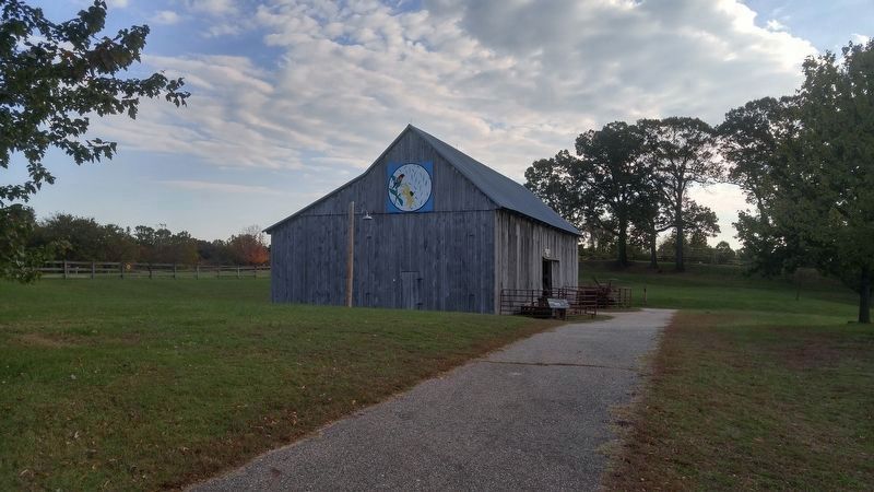
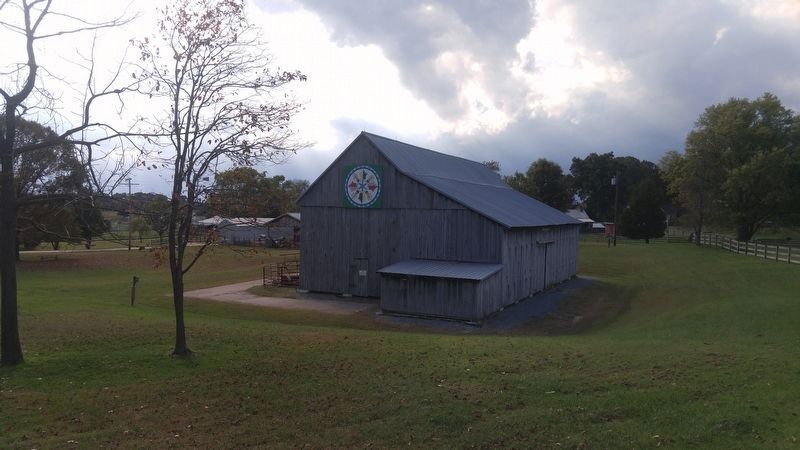
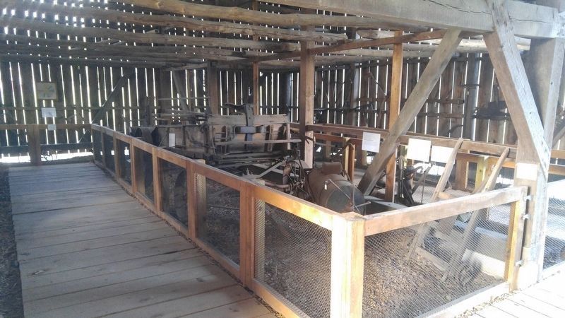
Originally located on property previously owned by John J. Lerch III, in Gambrills, Maryland, this tobacco barn is believe to have been built around 1910. Due to the development of a recreational park on the property, the barn was relocated to Kinder Farm Park in August, 1998. Given the extensive damage, only the inside framework of the original barn could be salvaged. The frame was kept in order by attaching small numbered tags, some of which can still be seen inside the barn. New siding was milled from rough-cut yellow poplar and galvanized steel was used for the roof. The barn was completed in March, 1999.
Topics. This historical marker is listed in these topic lists: Agriculture • Industry & Commerce. A significant historical month for this entry is March 1999.
Location. 39° 6.008′ N, 76° 34.928′ W. Marker is in Millersville, Maryland, in Anne Arundel County. Marker can be reached from Kinder Farm Park Road, 0.3 miles west of Jumpers Hole Road, on the left when traveling west. Marker is within the paid-area of Kinder Farm Park, next to the Tobacco Barn Museum. Touch for map. Marker is in this post office area: Millersville MD 21108, United States of America. Touch for directions.
Other nearby markers. At least 8 other markers are within 3 miles of this marker, measured as the crow flies. Sawmill (within shouting distance of this marker); Kinder Farm Ice House (about 500 feet away, measured in a direct line); The Kinder Farmhouse (about 500 feet away); Earleigh Heights Store (approx. 0.7 miles away); Frost's Store and Post Office (approx. 0.7 miles away); Governor William Stone (approx. 1.7 miles away); Shipley’s Choice (approx. 2.1 miles away); Freetown (approx. 2.3 miles away). Touch for a list and map of all markers in Millersville.
Credits. This page was last revised on February 8, 2020. It was originally submitted on October 24, 2016, by F. Robby of Baltimore, Maryland. This page has been viewed 662 times since then and 33 times this year. Photos: 1, 2. submitted on October 24, 2016, by F. Robby of Baltimore, Maryland. 3. submitted on February 8, 2020, by Devry Becker Jones of Washington, District of Columbia. 4, 5, 6. submitted on October 24, 2016, by F. Robby of Baltimore, Maryland.
