Salem in Marion County, Illinois — The American Midwest (Great Lakes)
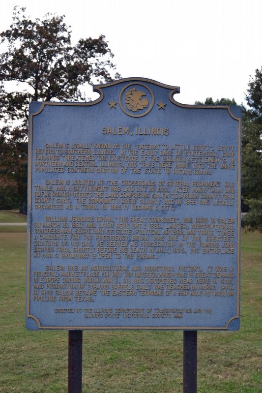
Salem, Illinois
Salem is located at the crossroads of several prominent old trails, and a settlement was laid out in 1823. Later Mark Tully and Rufus Ricker deeded the land comprising Salem to Marion County for a county seat. The community grew slowly and in 1855 was legally organized as a town. In 1865 it became a city.
William Jennings Bryan, “The Great Commoner”, was born in Salem on March 19, 1860, and lived here until 1883. Lawyer, newspaperman, congressman, Secretary of State, political advisor, and three times a candidate for the presidency, Bryan was one of the greatest orators of his day. He served as prosecutor in the famous John Scopes trial shortly before his death in July, 1925. His birthplace at 408 S. Broadway is open to the public.
Salem has an agricultural and industrial history. It was a principal marketplace for red top hayseed, which was in great demand in Europe during World War I. Oil was discovered near here in 1938, and producing of 259,000 barrels daily was reached in March 1940. In 1942 Salem became the eastern terminus of a 550-mile petroleum pipeline from Texas.
Erected 1986 by Illinois Department of Transportation and the Illinois State Historical Society.
Topics and series. This historical marker is listed in these topic lists: Agriculture • Government & Politics • Industry & Commerce • Settlements & Settlers. In addition, it is included in the Illinois State Historical Society series list. A significant historical year for this entry is 1823.
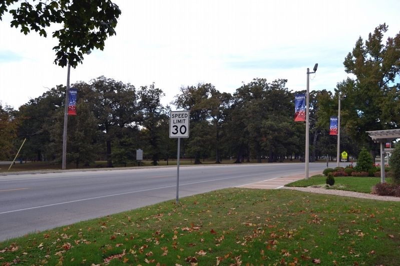
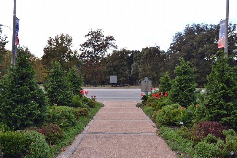
Location. 38° 38.131′ N, 88° 56.736′ W. Marker is in Salem, Illinois, in Marion County. Marker is on N. Broadway Avenue (Illinois Route 37) north of Boone Street, on the left when traveling north. Touch for map. Marker is in this post office area: Salem IL 62881, United States of America. Touch for directions.
Other nearby markers. At least 4 other markers are within 16 miles of this marker, measured as the crow flies. William Jennings Bryan (a few steps from this marker); Halfway Tavern (approx. 9.1 miles away); Centralia Coal Company Mine No. 5 Disaster (approx. 13.9 miles away); The Third Principal Meridian (approx. 15½ miles away).
Credits. This page was last revised on October 25, 2016. It was originally submitted on October 25, 2016, by Duane Hall of Abilene, Texas. This page has been viewed 784 times since then and 57 times this year. Photos: 1, 2, 3. submitted on October 25, 2016, by Duane Hall of Abilene, Texas.


