Near Fort Oglethorpe in Catoosa County, Georgia — The American South (South Atlantic)
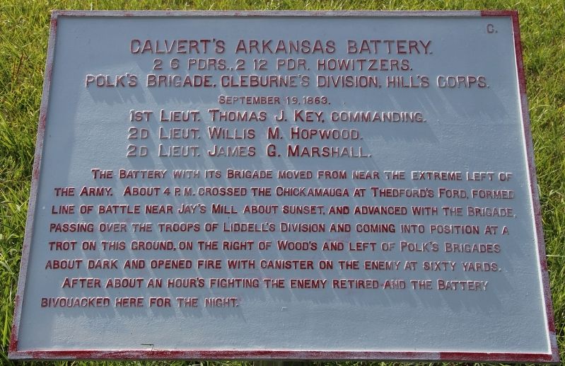
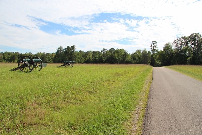
Calvert's Arkansas Battery
Polk's Brigade
— Cleburne's Division —
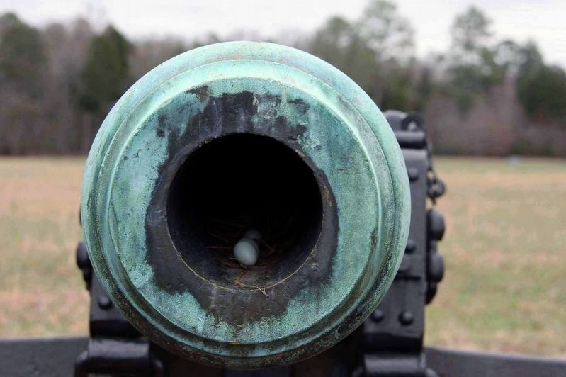
2 6 Pounders, 2 12 Pounder Howitzers.
Polk's Brigade, Cleburne's Division, Hill's Corps.
September 19, 1863.
1st Lieutenant Thomas Key, Commanding.
2d Lieutenant Willis M. Hopwood.
2d Lieutenant James G. Marshall
The Battery with its Brigade moved from near the extreme left of the Army. About 4 p.m. crossed the Chickamauga at Thedford's Ford, formed line of battle near Jay's Mill about sunset, and advanced with the Brigade, passing over the troops of Liddell's Division and coming into position at a trot on this ground, on the right of Wood's and left of Polk's Brigades about dark and opened fire with canister on the enemy at sixty yards.
After about an hour's fighting the enemy retired and the battery bivouacked here for the night.
Erected 1890 by the Chickamauga and Chattanooga National Military Park Commission. (Marker Number MT-1250.)
Topics. This historical marker is listed in this topic list: War, US Civil. A significant historical date for this entry is September 19, 1863.
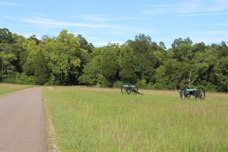
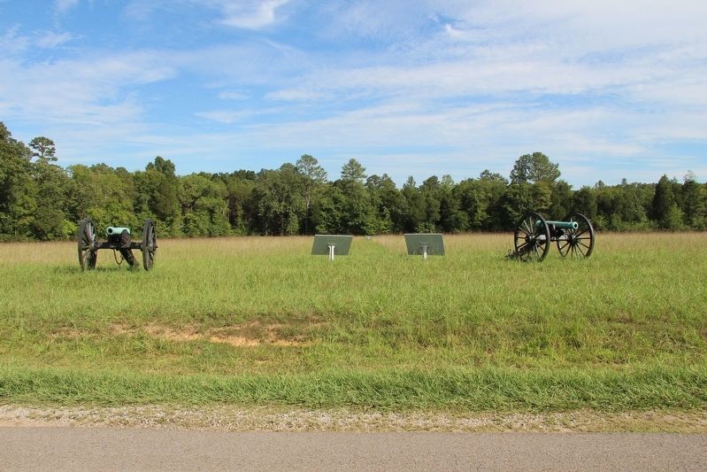
Location. 34° 55.526′ N, 85° 14.431′ W. Marker is near Fort Oglethorpe, Georgia, in Catoosa County. Marker is on Brotherton Road east of Alexander Bridge Road, on the right when traveling east. This tablet is located within the Chickamauga Battlefield, along the south side of the Brotherton Road. Touch for map. Marker is in this post office area: Fort Oglethorpe GA 30742, United States of America. Touch for directions.
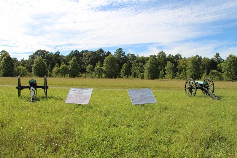
Other nearby markers. At least 8 other markers are within walking distance of this marker. Semple's Alabama Battery (here, next to this marker); 38th Indiana Infantry (within shouting distance of this marker); Wood’s Brigade. (about 400 feet away, measured in a direct line); 93rd Ohio Infantry (about 400 feet away); 1st Ohio Infantry (about 500 feet away); Philemon P. Baldwin Memorial Shell Monument (about 500 feet away); Baldwin's Brigade (about 500 feet away); 33rd Ohio Infantry Regiment (about 600 feet away). Touch for a list and map of all markers in Fort Oglethorpe.
More about this marker. I used the "Chickamauga Battlefield" map, that I purchased at the Chickamauga and Chattanooga National Military Park, Visitor Center, to determine both the marker number for this tablet and the tablet's location in relation to the rest of the park's monuments, markers, and tablets. According to the map it provides the, "numerical listing of all monuments, markers, and tablets on the Chickamauga Battlefield (using the Chick-Chatt NMP Monument Numbering System).”
Credits. This page was last revised on August 7, 2017. It was originally submitted on October 27, 2016, by Dale K. Benington of Toledo, Ohio. This page has been viewed 338 times since then and 10 times this year. Photos: 1, 2, 3, 4, 5. submitted on October 27, 2016, by Dale K. Benington of Toledo, Ohio. 6. submitted on December 28, 2016, by Byron Hooks of Sandy Springs, Georgia.
