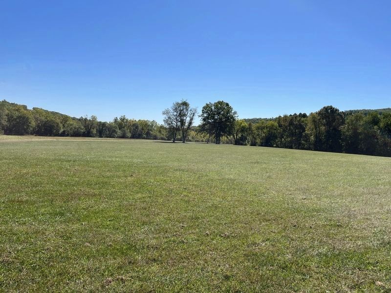
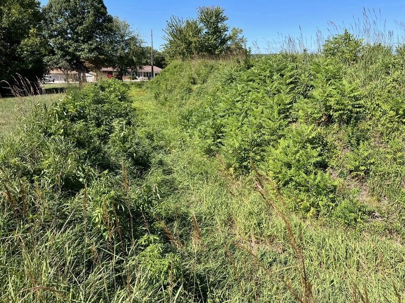
Pilot Knob in Iron County, Missouri — The American Midwest (Upper Plains)
The Doomed Assault
Sept. 27, Afternoon
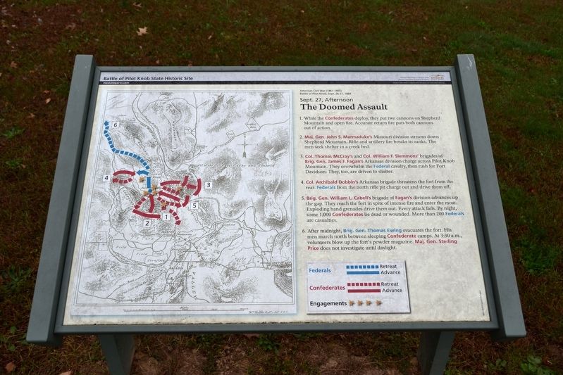
1. While the Confederates deploy, they put two cannons on Shepherd Mountain and open fire. Accurate return fire puts both cannons out of action.
2. Maj. Gen. John S. Marmaduke’s Missouri division streams down Shepherd Mountain. Rifle and artillery fire breaks its ranks. The men seek shelter in a creek bed.
3. Col. Thomas McCray’s and Col. William F. Slemmons’ brigades of Brig. Gen. James F. Fagan’s Arkansas division charge across Pilot Knob Mountain. They overwhelm the Federal cavalry, then rush for Fort Davidson. They, too, are driven to shelter.
4. Col. Archibald Dobbin’s Arkansas brigade threatens the fort from the rear. Federals from the north rifle pit charge out and drive them off.
5. Brig. Gen. William L. Cabell’s brigade of Fagan’s division advances up the gap. They reach the fort in spite of intense fire and enter the moat. Exploding hand grenades drive them out. Every attack fails. By night, some 1,000 Confederates lie dead or wounded. More than 200 Federals are casualties.
6. After midnight, Brig. Gen. Thomas Ewing evacuates the fort. His men march north between sleeping Confederate camps. At 3:30 a.m., volunteers blow up the fort’s powder magazine. Maj. Gen. Sterling Price does not investigate until daylight.
Erected by Missouri State Parks.
Topics. This historical marker is listed in this topic list: War, US Civil. A significant historical date for this entry is September 27, 1864.
Location. 37° 37.231′ N, 90° 38.402′ W. Marker is in Pilot Knob, Missouri, in Iron County. Marker can be reached from Maple Street (State Highway 221) 0.1 miles east of McCune Street. Marker is located on an interpretive trail in the Battle of Pilot Knob State Historic Site; the above directions are to the driveway entrance to the visitor center. Touch for map. Marker is at or near this postal address: 118 Maple St, Pilot Knob MO 63663, United States of America. Touch for directions.
Other nearby markers. At least 8 other markers are within walking distance of this marker. Pilot Knob Mountain (within shouting distance of this marker); Fort Davidson (within shouting distance of this marker); The Struggle for the Mountains (within shouting distance of this marker); The Moat (within shouting distance of this marker); The Powder Magazine (within shouting distance of this marker); The Fight for Ironton (about 300 feet away, measured in a direct line); St. Mary's Catholic Church (about 400 feet away); The Battle of Pilot Knob (about 500 feet away). Touch for a list and map of all markers in Pilot Knob.
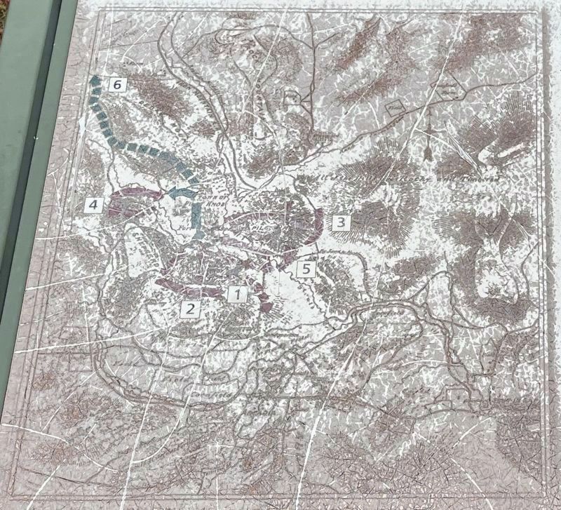
More about this marker. The marker includes a map showing and keyed to the actions described in the marker inscription.
Also see . . .
Battle of Pilot Knob State Historic Site. The official website of this state park. (Submitted on October 28, 2016.)
Credits. This page was last revised on November 20, 2022. It was originally submitted on October 28, 2016, by Duane Hall of Abilene, Texas. This page has been viewed 311 times since then and 7 times this year. Photos: 1. submitted on October 28, 2016, by Duane Hall of Abilene, Texas. 2. submitted on November 20, 2022, by Craig Swain of Leesburg, Virginia. 3, 4. submitted on October 28, 2016, by Duane Hall of Abilene, Texas. 5, 6. submitted on November 20, 2022, by Craig Swain of Leesburg, Virginia.
