Pilot Knob in Iron County, Missouri — The American Midwest (Upper Plains)
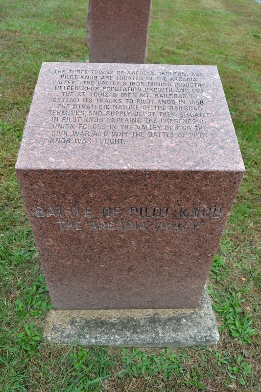
The Arcadia Valley
Battle of Pilot Knob
Topics. This historical marker is listed in these topic lists: Industry & Commerce • Railroads & Streetcars • Settlements & Settlers • War, US Civil. A significant historical year for this entry is 1858.
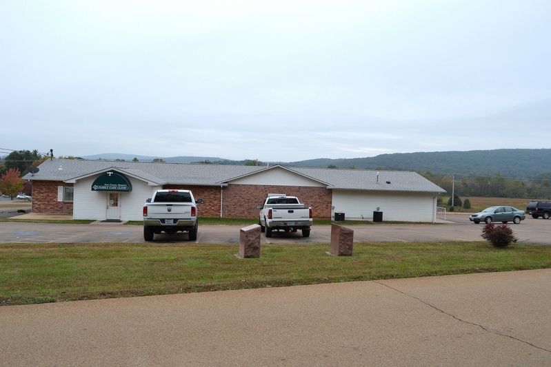
Location. 37° 37.688′ N, 90° 39.001′ W. Marker is in Pilot Knob, Missouri, in Iron County. Marker is on N. McCune Street, 0.2 miles north of Cedar Street, on the left when traveling north. Touch for map. Marker is in this post office area: Pilot Knob MO 63663, United States of America. Touch for directions.
Other nearby markers. At least 8 other markers are within walking distance of this marker. Caledonia—Potosi Road (here, next to this marker); Immanuel Lutheran Church (approx. half a mile away); St. Mary's Catholic Church (approx. 0.7 miles away); Fort Davidson (approx. ¾ mile away); Pilot Knob Mountain (approx. ¾ mile away); The Doomed Assault (approx. ¾ mile away); The Struggle for the Mountains (approx. ¾ mile away); The Moat (approx. 0.8 miles away). Touch for a list and map of all markers in Pilot Knob.
More about this marker. The marker is one of 16 Missouri red granite historical markers interpreting the Battle of Pilot Knob and is Marker #16 on the Battle of Pilot Knob Driving Tour. An identical marker is located at the south end of the valley at Arcadia.
Also see . . . Tour: The Battle of Pilot Knob. A detailed virtual tour of the battle from The Civil War Muse. (Submitted on October 29, 2016.)
Credits. This page was last revised on November 13, 2022. It was originally submitted on October 29, 2016, by Duane Hall of Abilene, Texas. This page has been viewed 226 times since then and 9 times this year. Photos: 1, 2. submitted on October 29, 2016, by Duane Hall of Abilene, Texas.

